The European adventure continues into the Netherlands. Amsterdam!

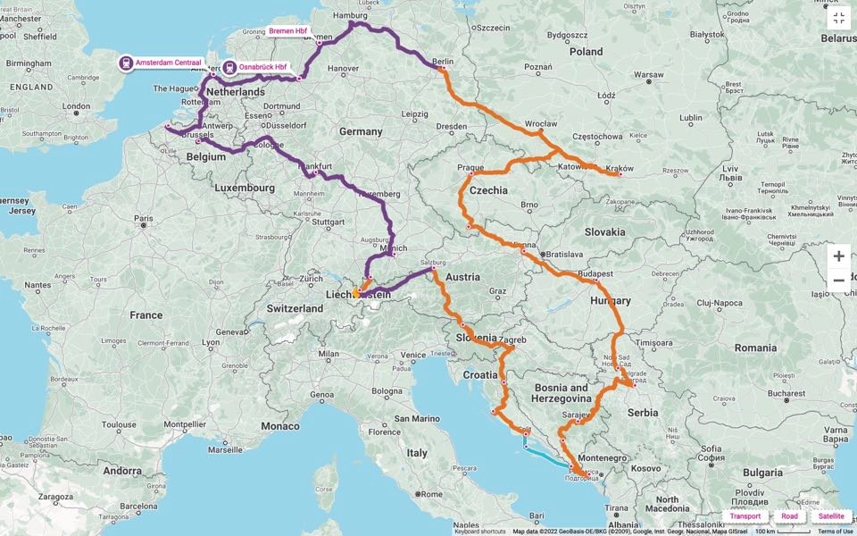
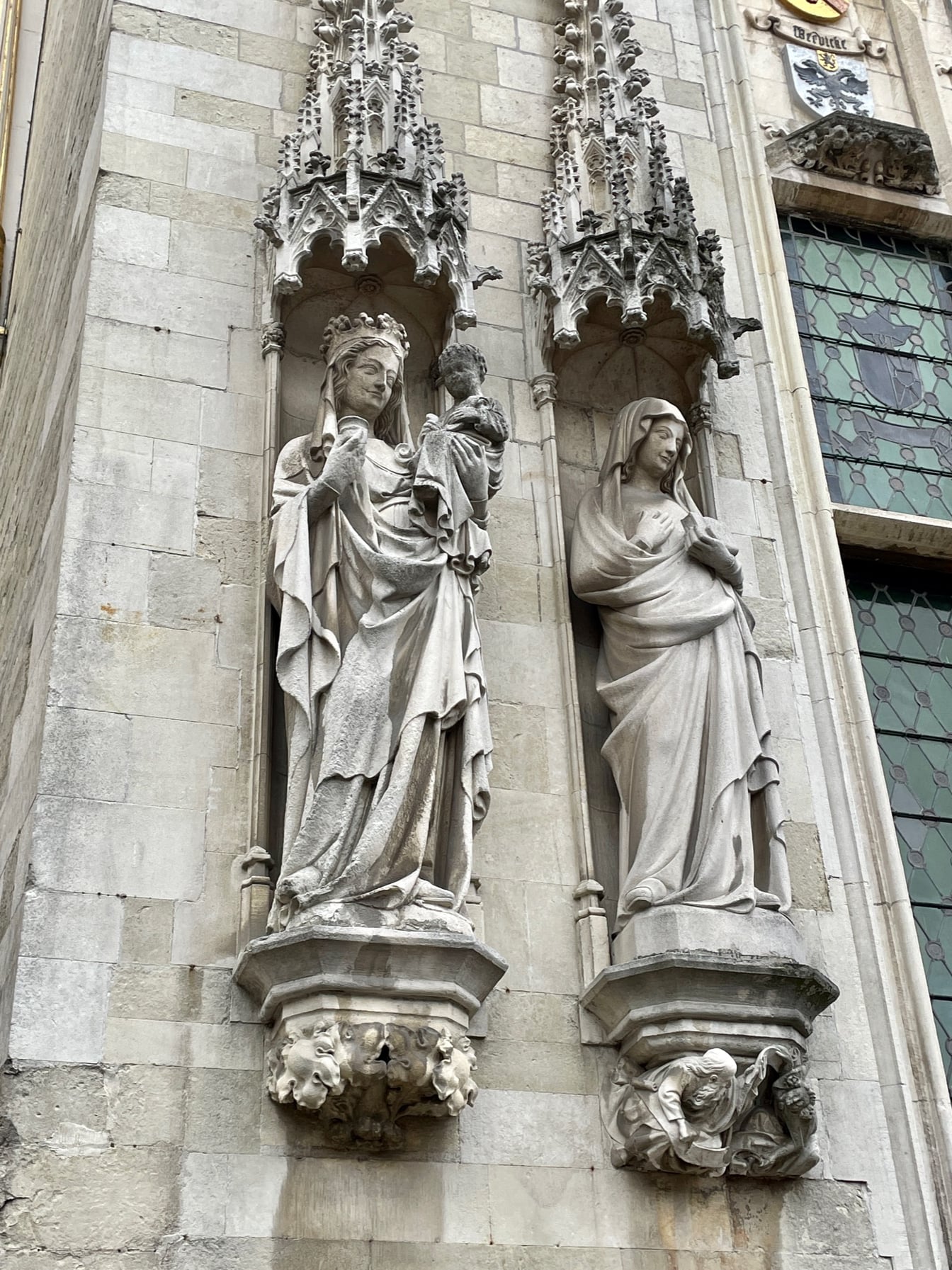
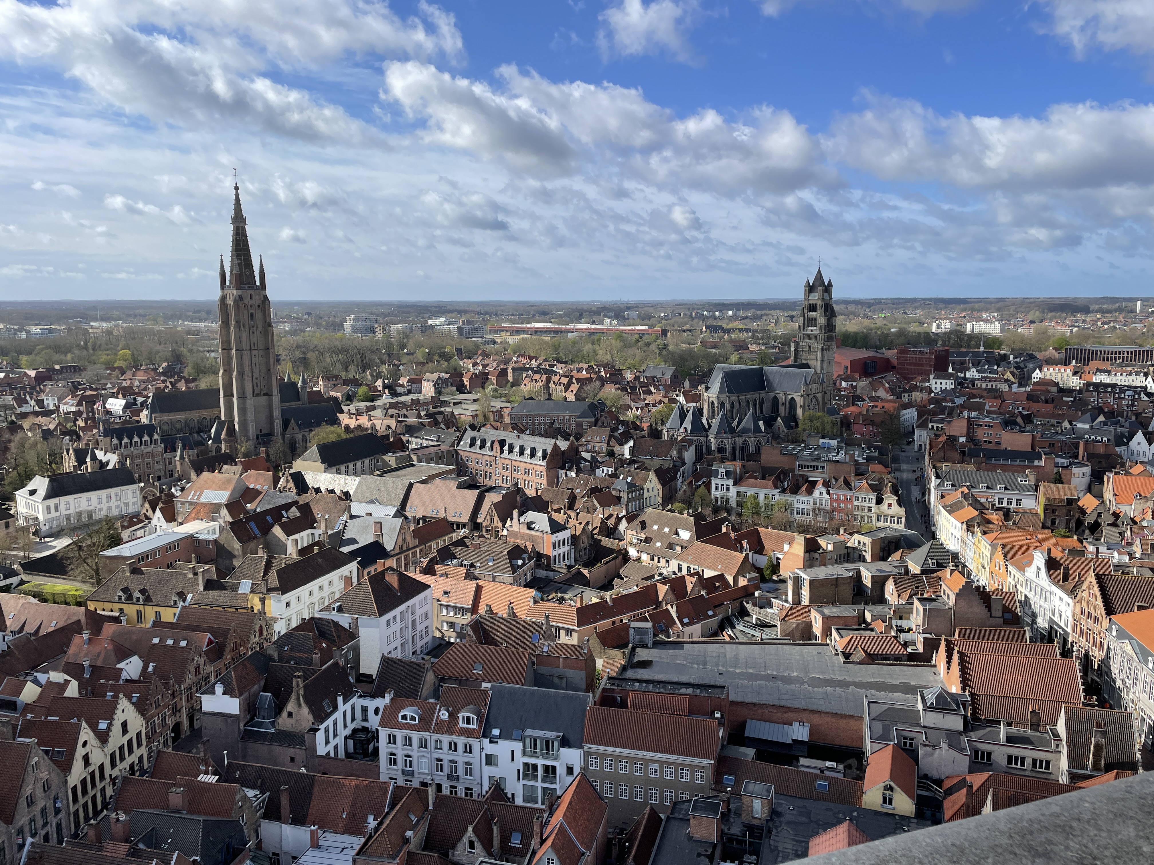
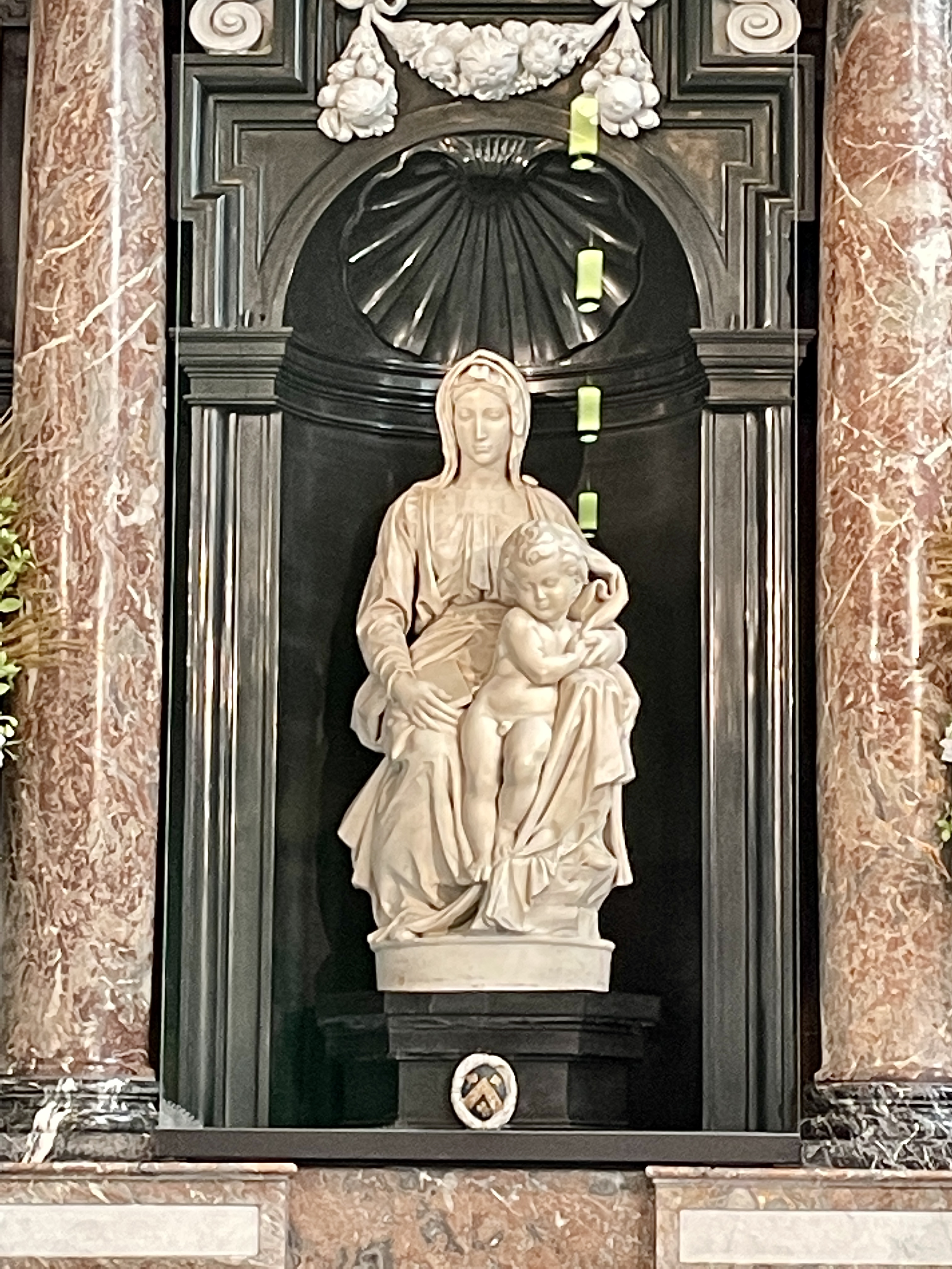
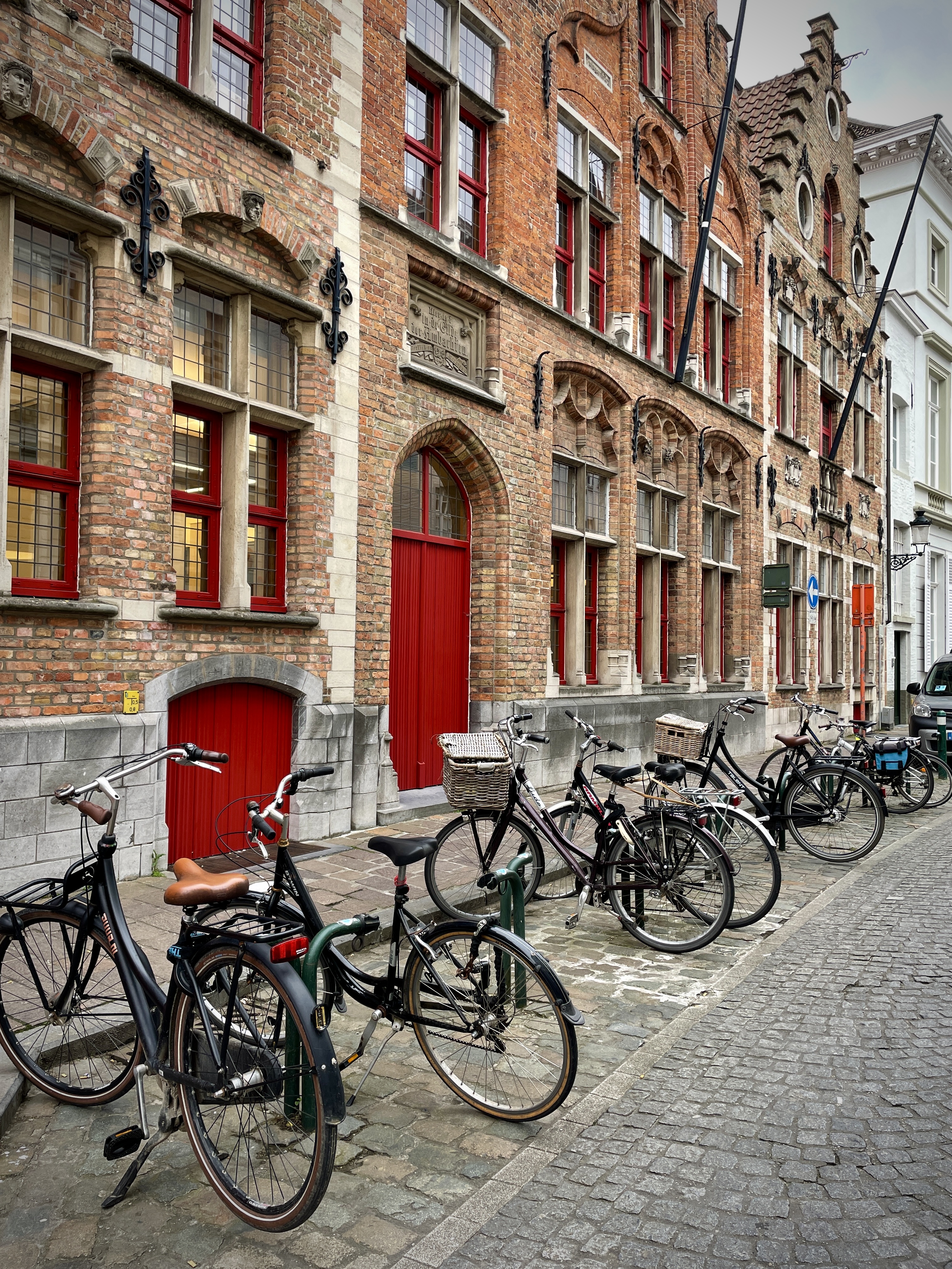
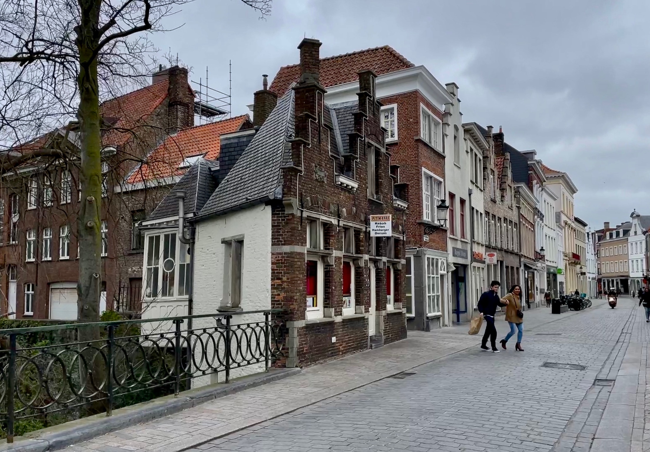
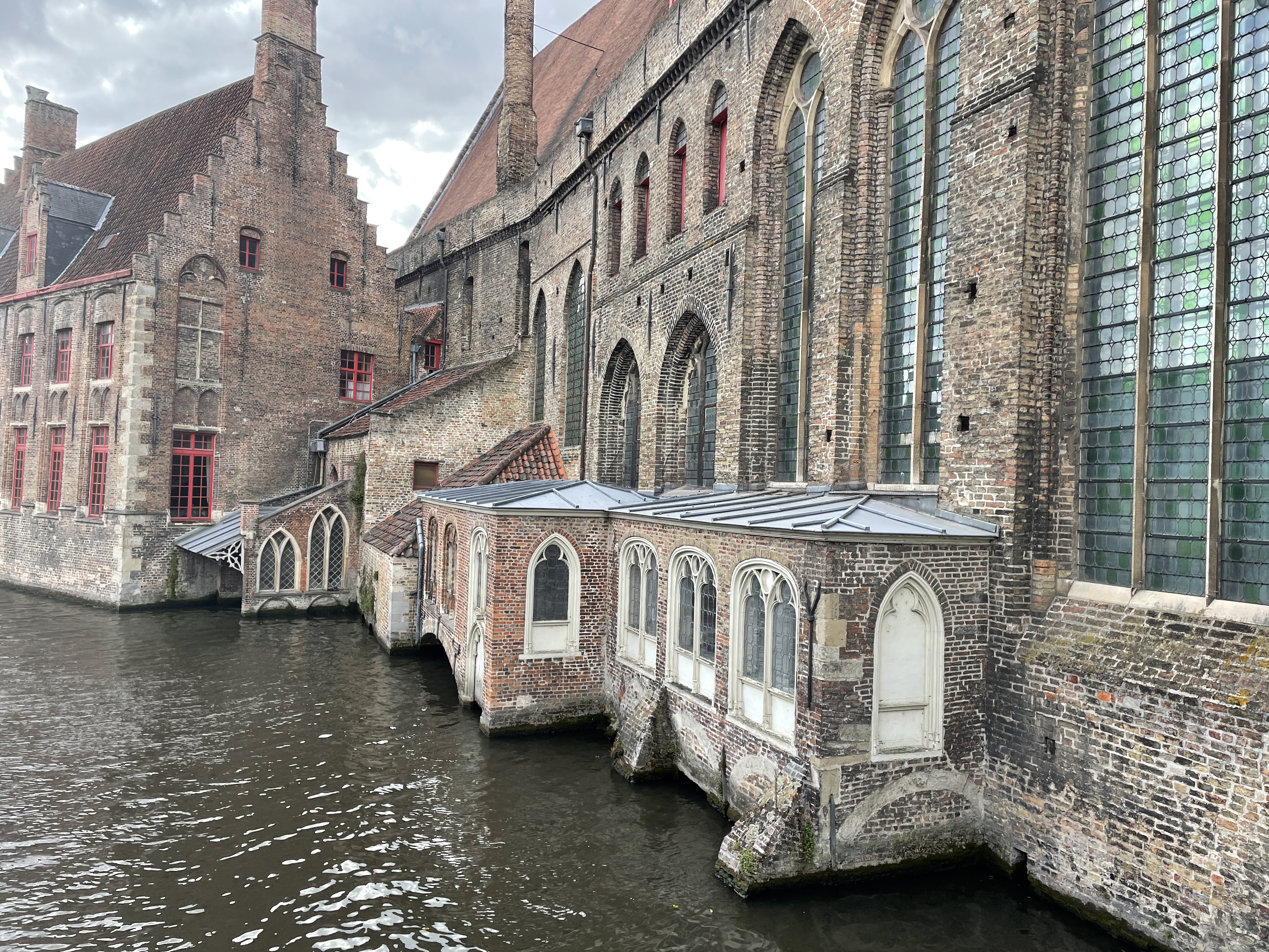
After 3 days in Bruges, (previous post here: https://whereisgrandma.com/2022/04/09/europe-here-we-come-it-all-begins-in-bruges-belgium/) we walked to the train station and boarded the train bound for Brussels.  On board we met a family from California who gave us a bit of guidance on European trains and short connections.  We had 13 minutes in Brussels to find our train for Amsterdam which turned out to be plenty of time.  

Saturday, April 9, 2022

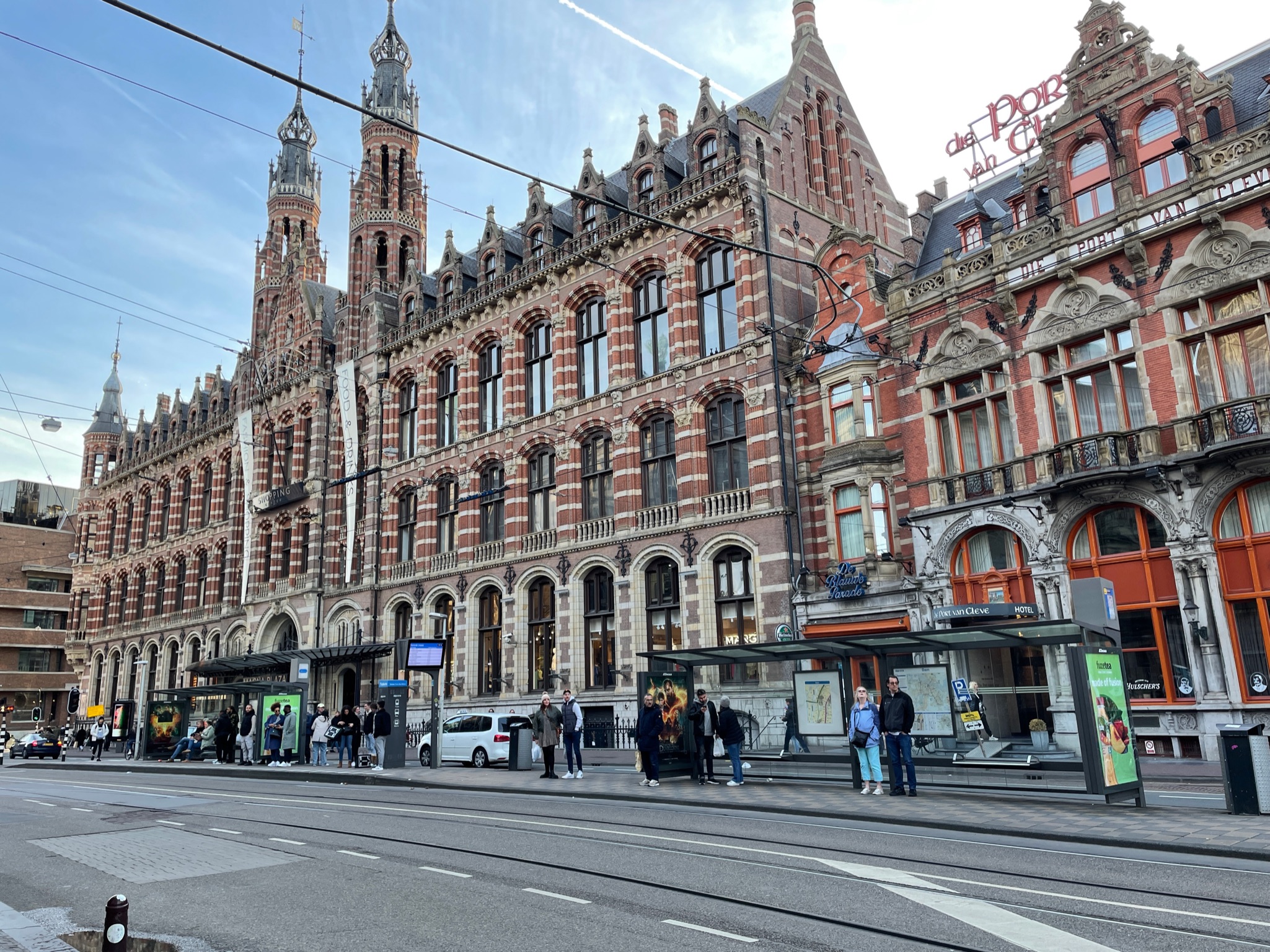
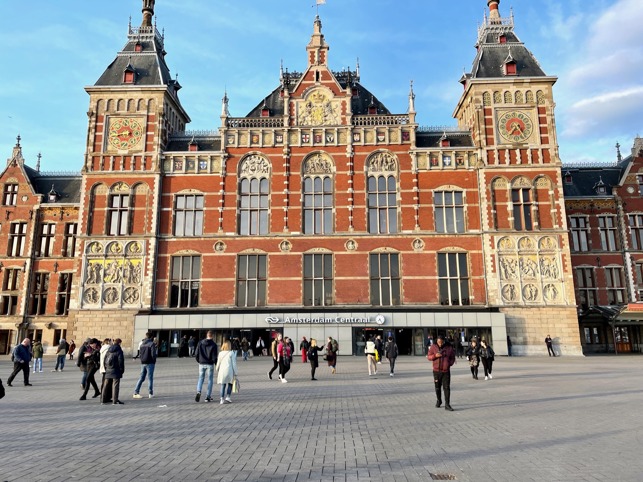
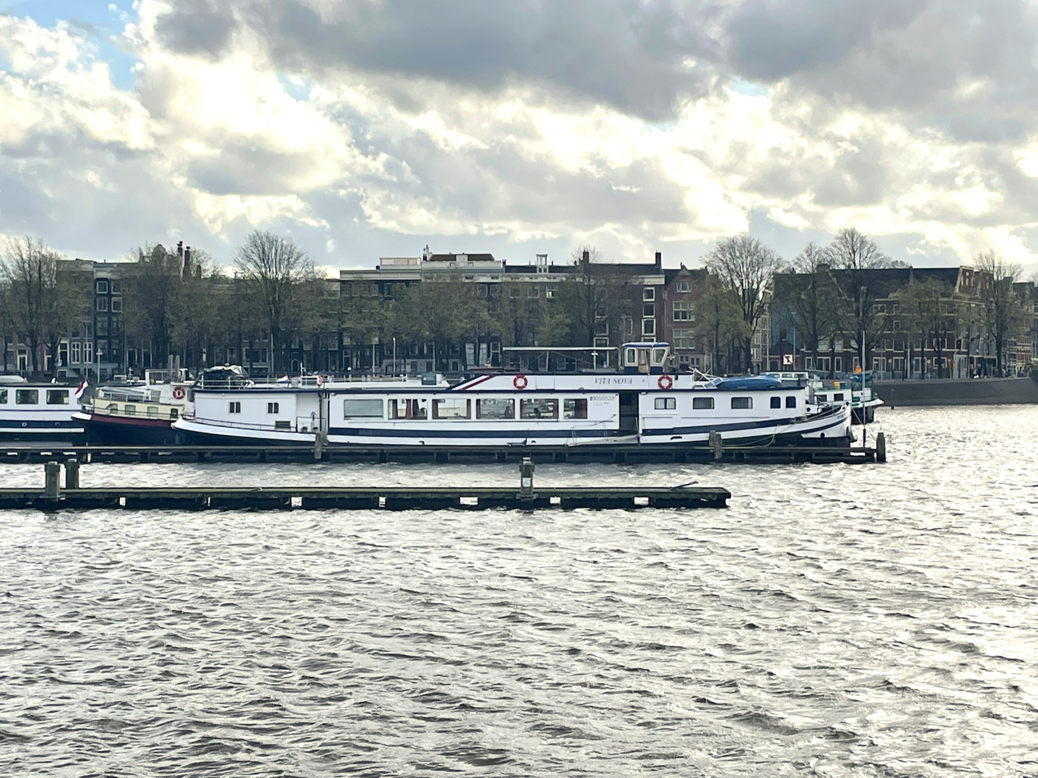
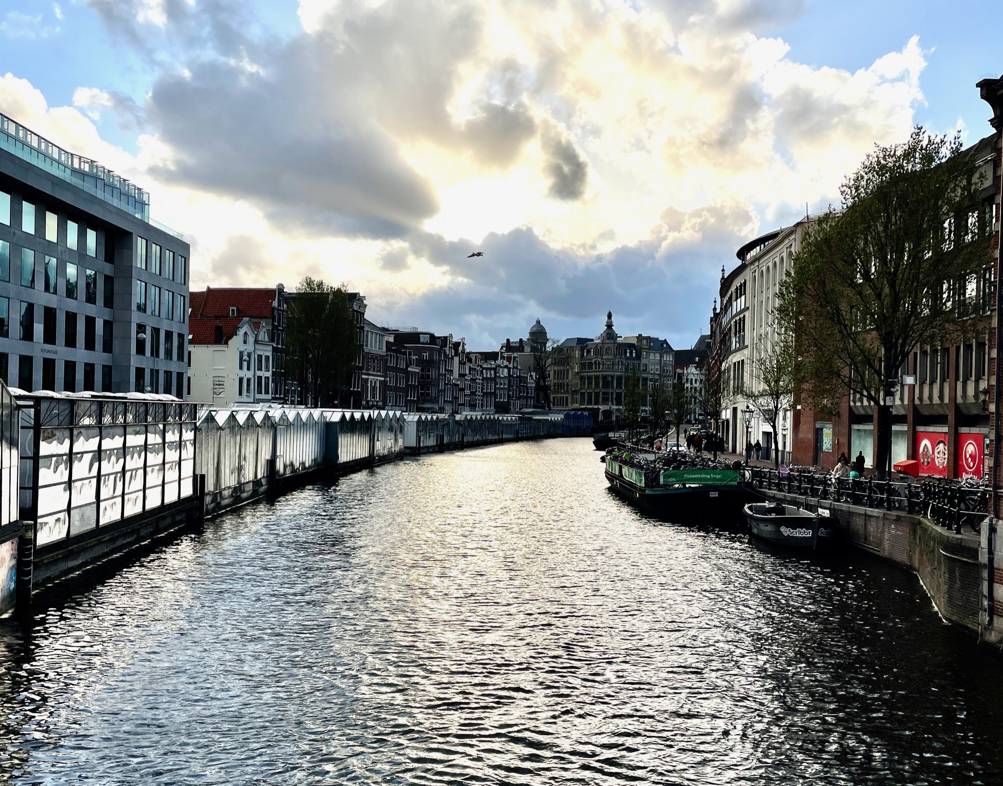
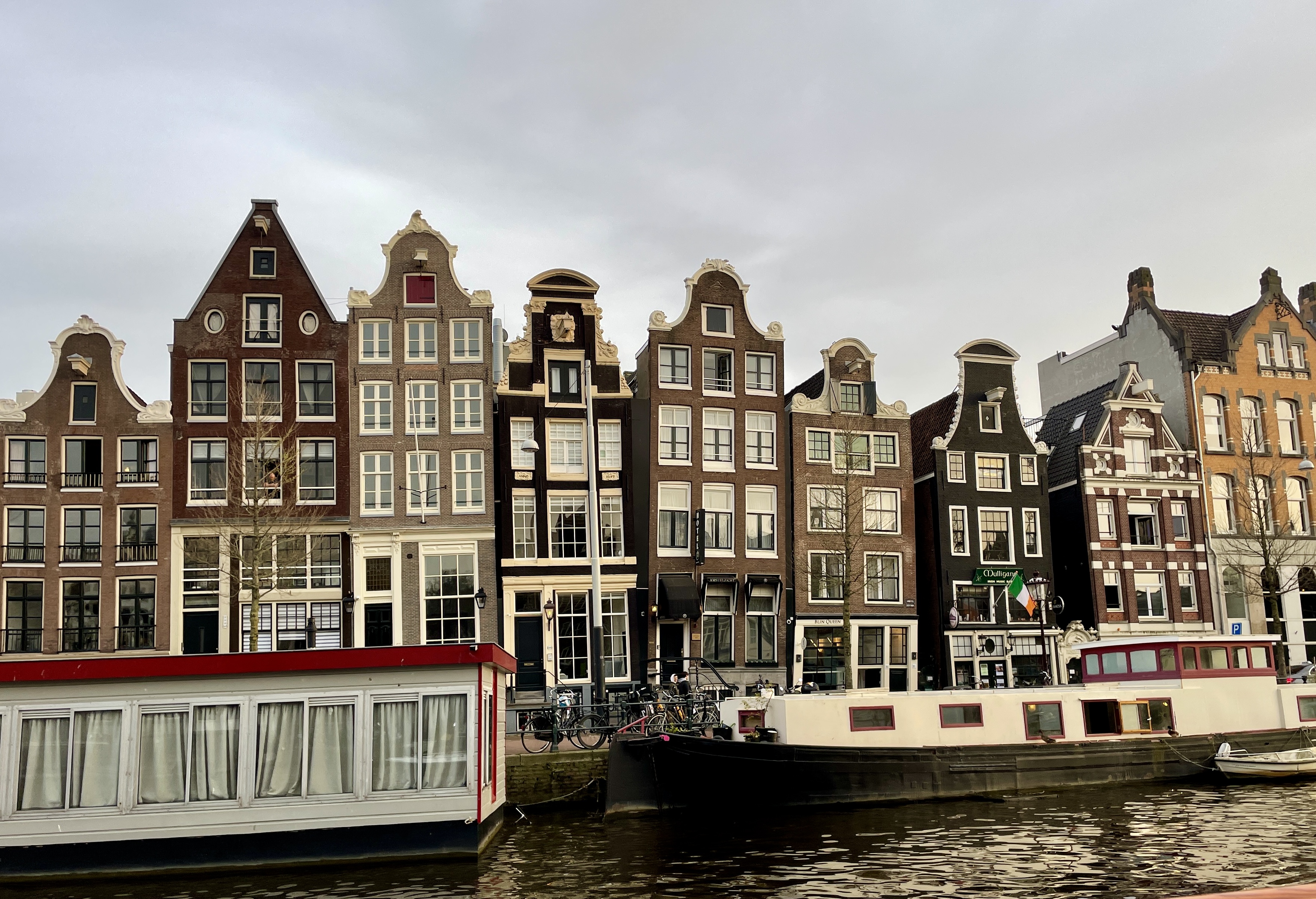
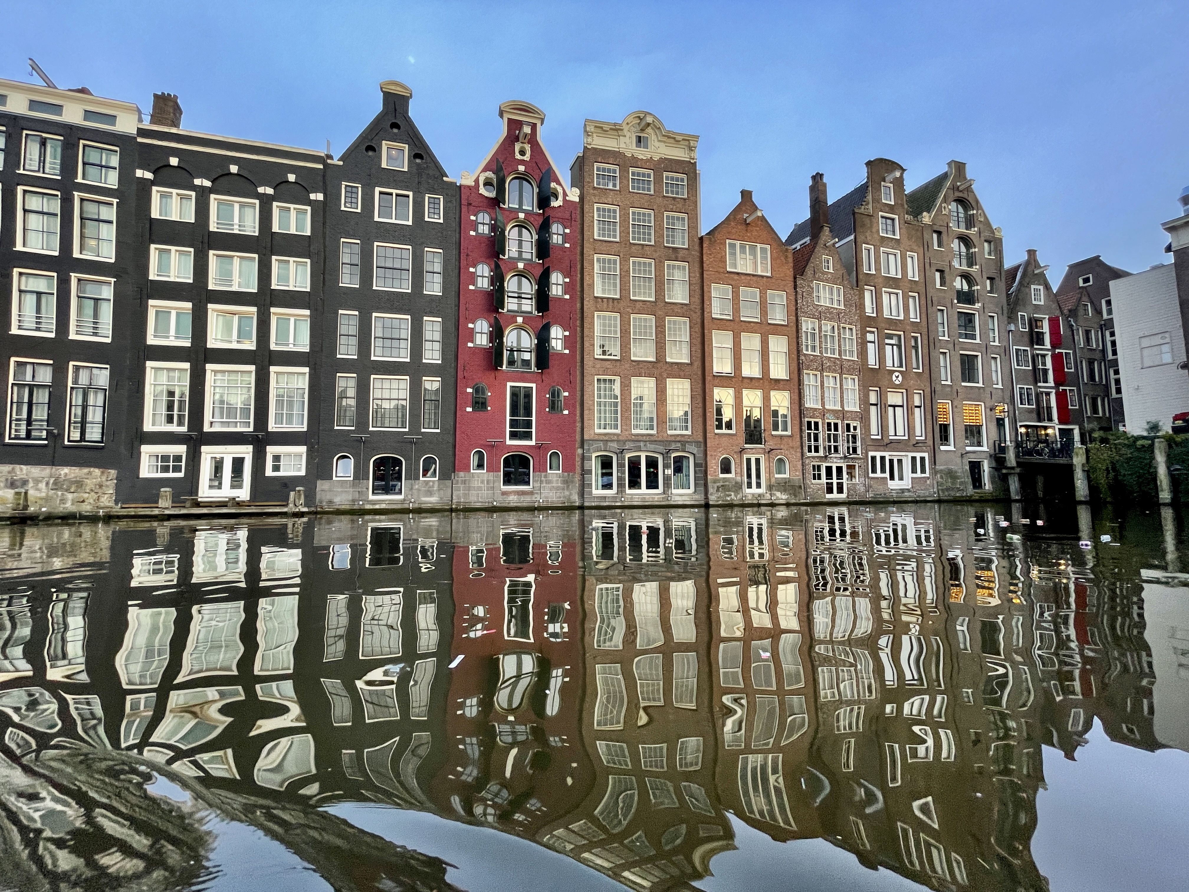
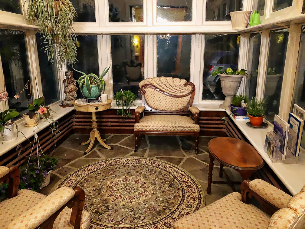
Amsterdam Centraal is a busy station and with the mapsme app we found our way to the boat (The Vita Nova) we’d reserved a “room” on.  It’s tiny.  Just a small bunk each and a sink and barely room to turn around. Oh well.  It’s just a place to sleep and rooms in Amsterdam are pricey!  The rest of the evening we spent wandering the city and enjoying the sights, (even though we were freezing! 3 degrees is cold when you don’t have your mitts and toque with you). For dinner we chose Thai.  Isn’t that one eats in Amsterdam?  It was delicious!

Sunday
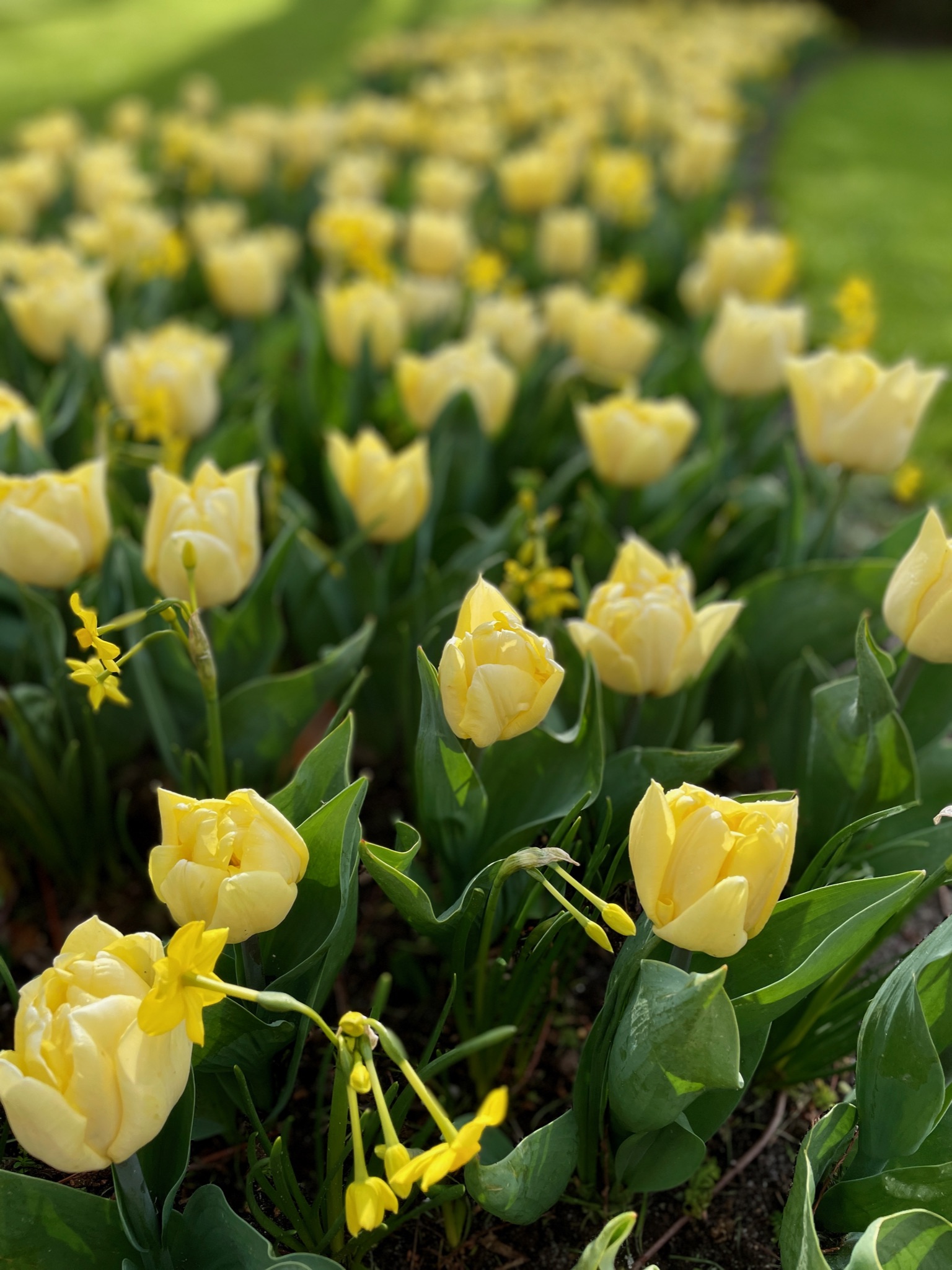
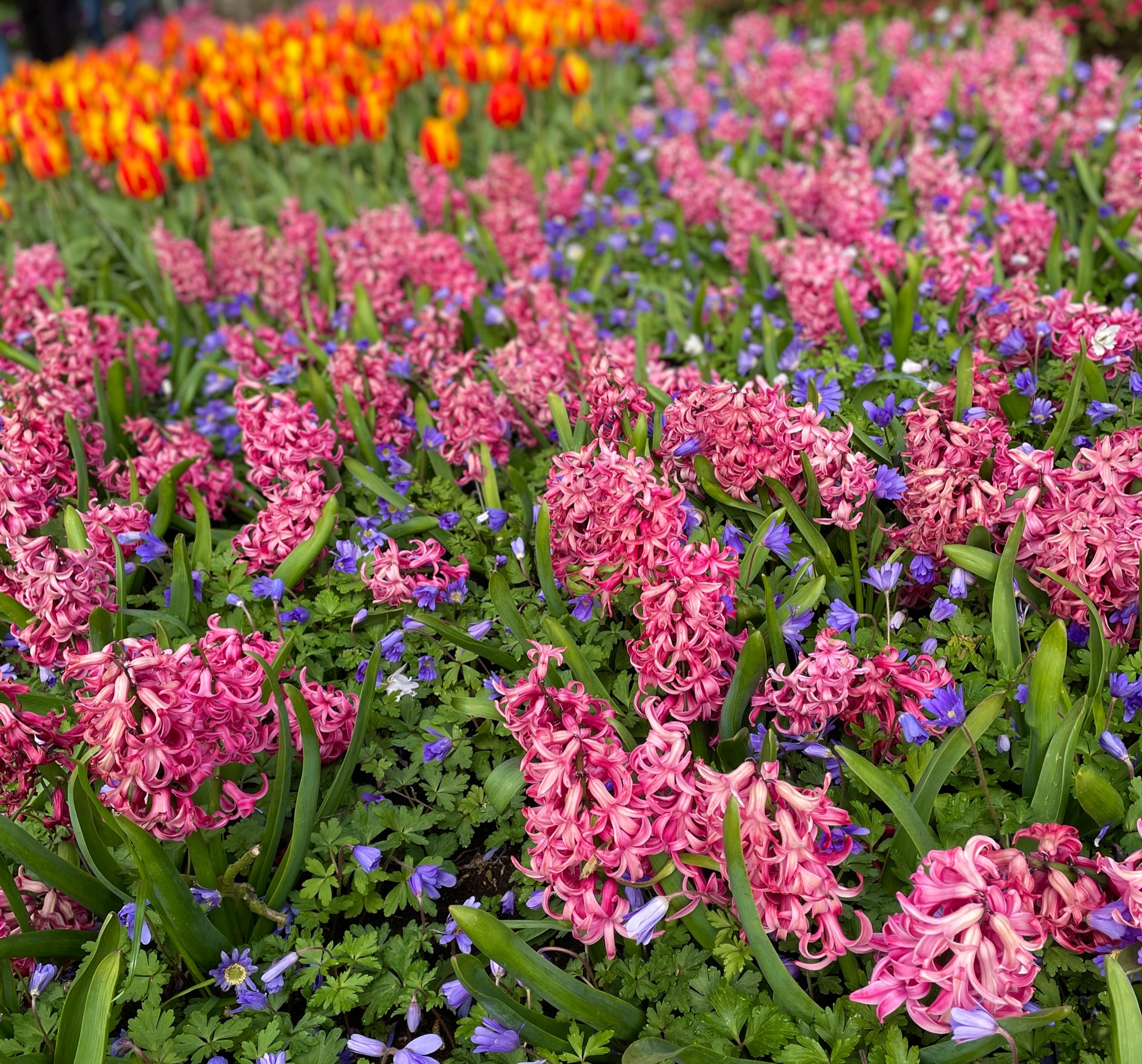
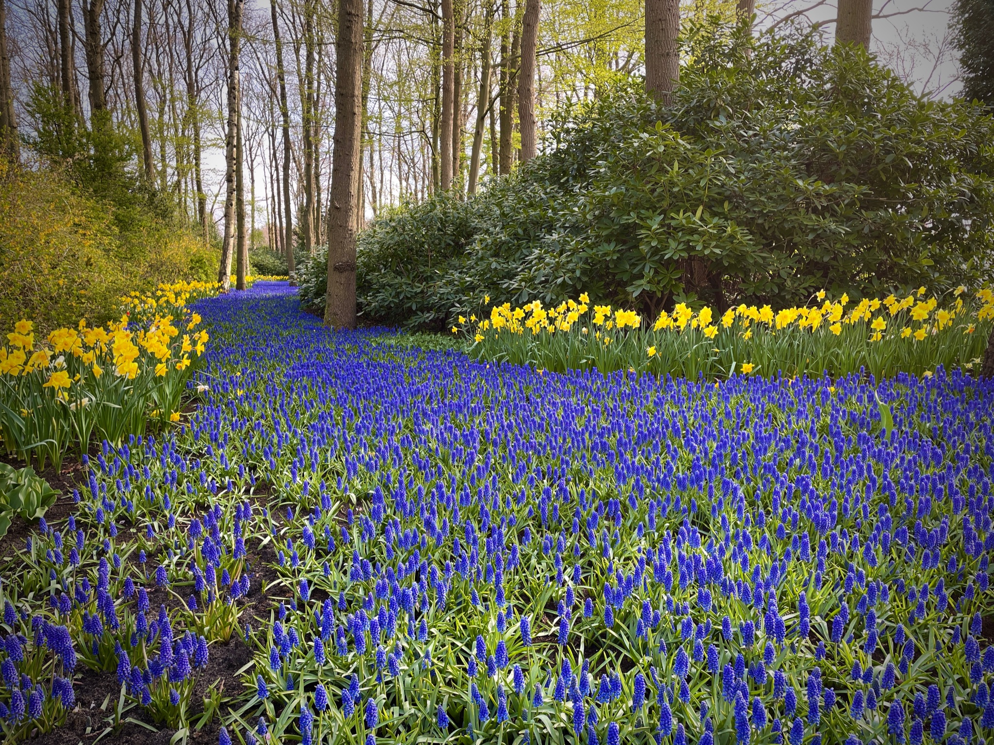
Breakfast isn’t served until 8:30 but we had a 9 am reservation for the Keukenhof gardens so we had to miss out. At the train station by 7:30 am we figured out how to get physical tickets for the 3 day transportation passes I purchased online. I got the one that included the gardens and everything and it worked out well. Get your tulip festival tickets here

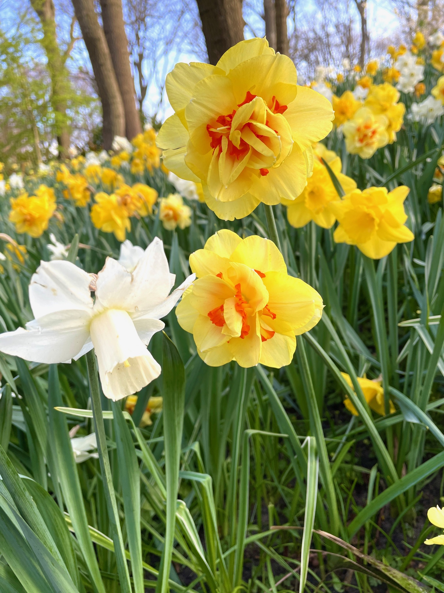
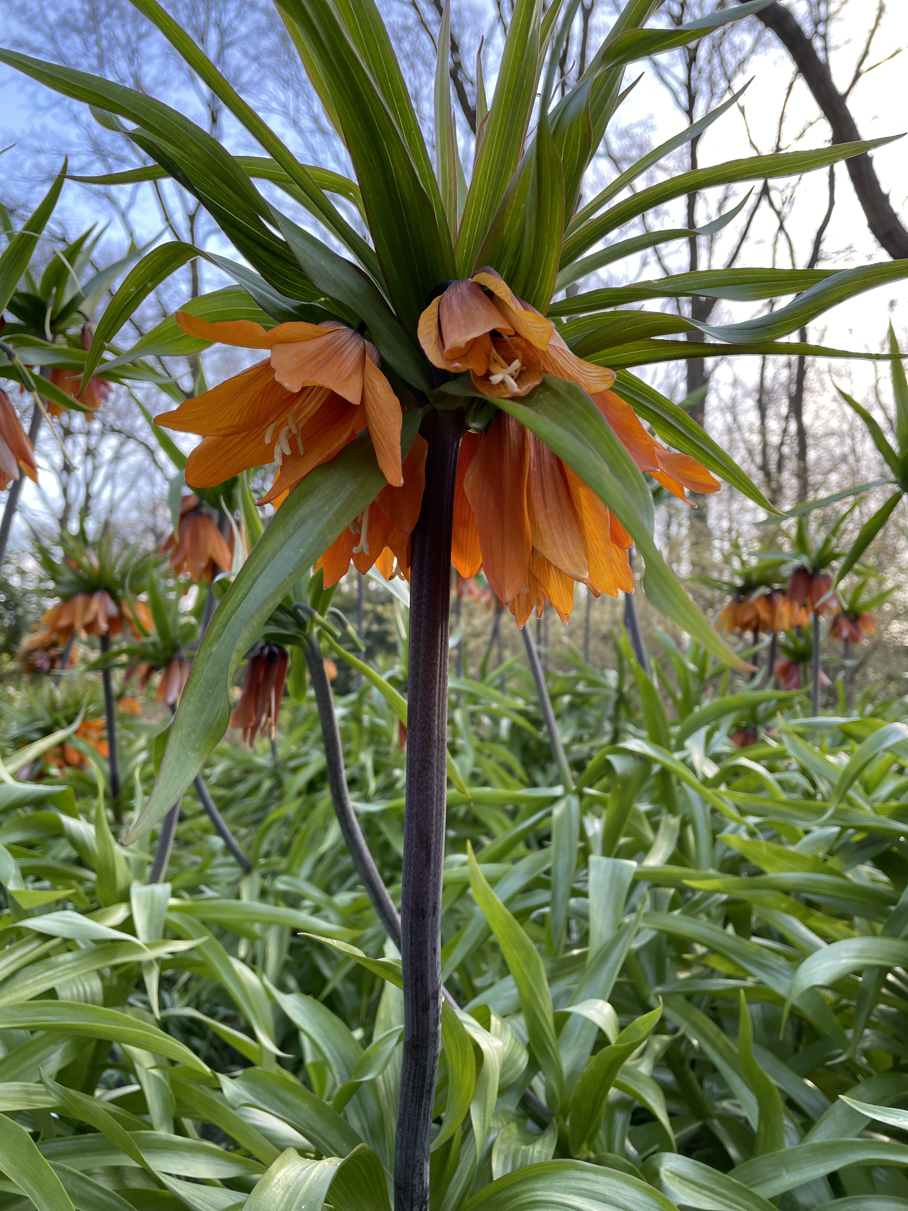
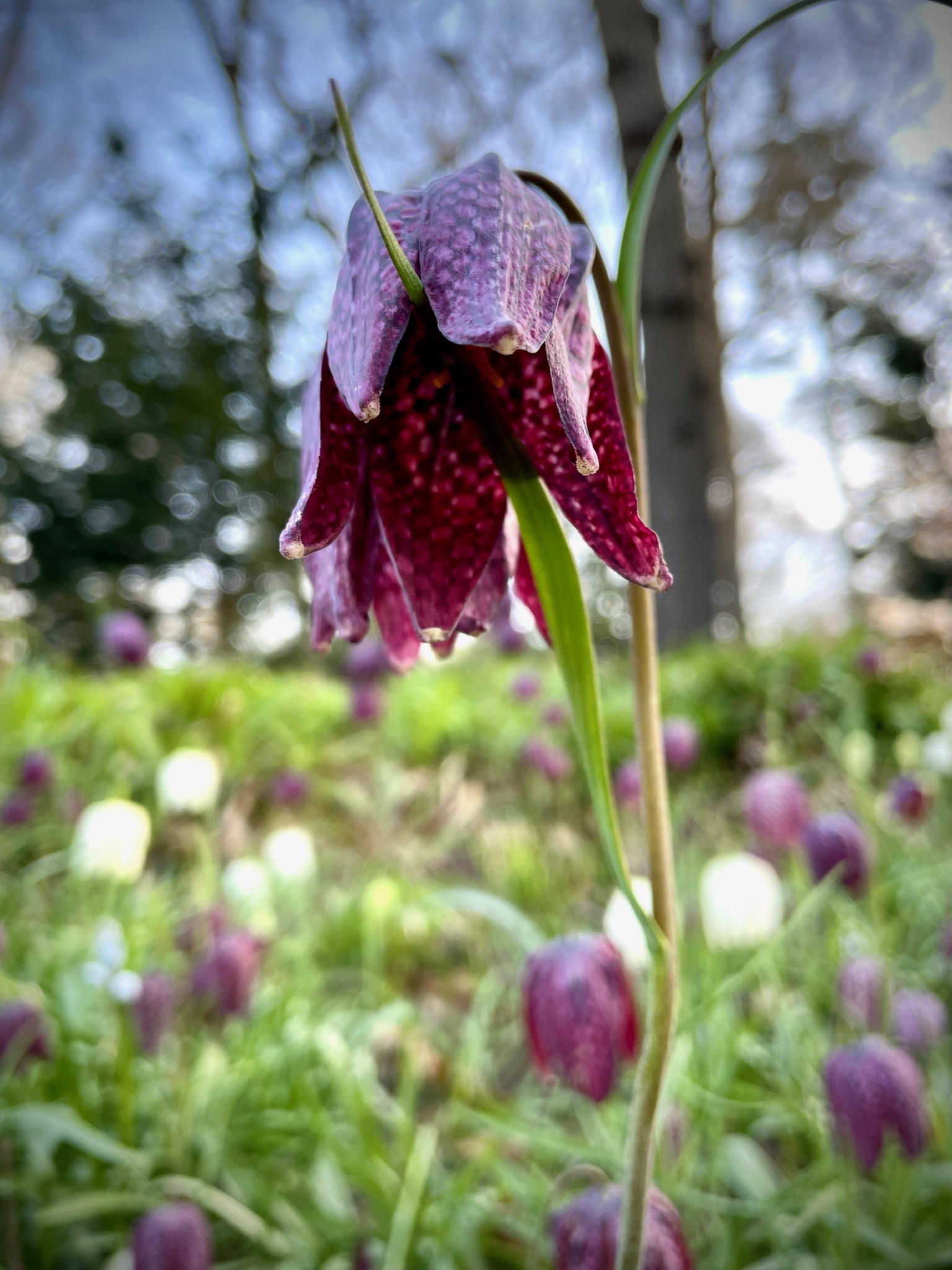
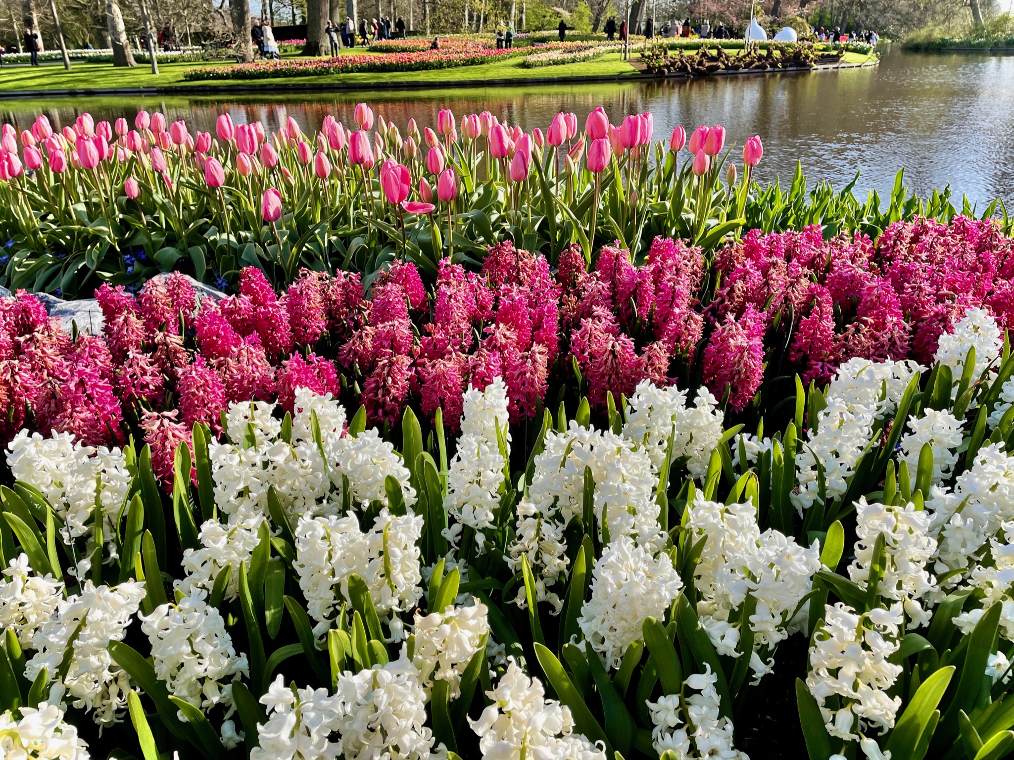
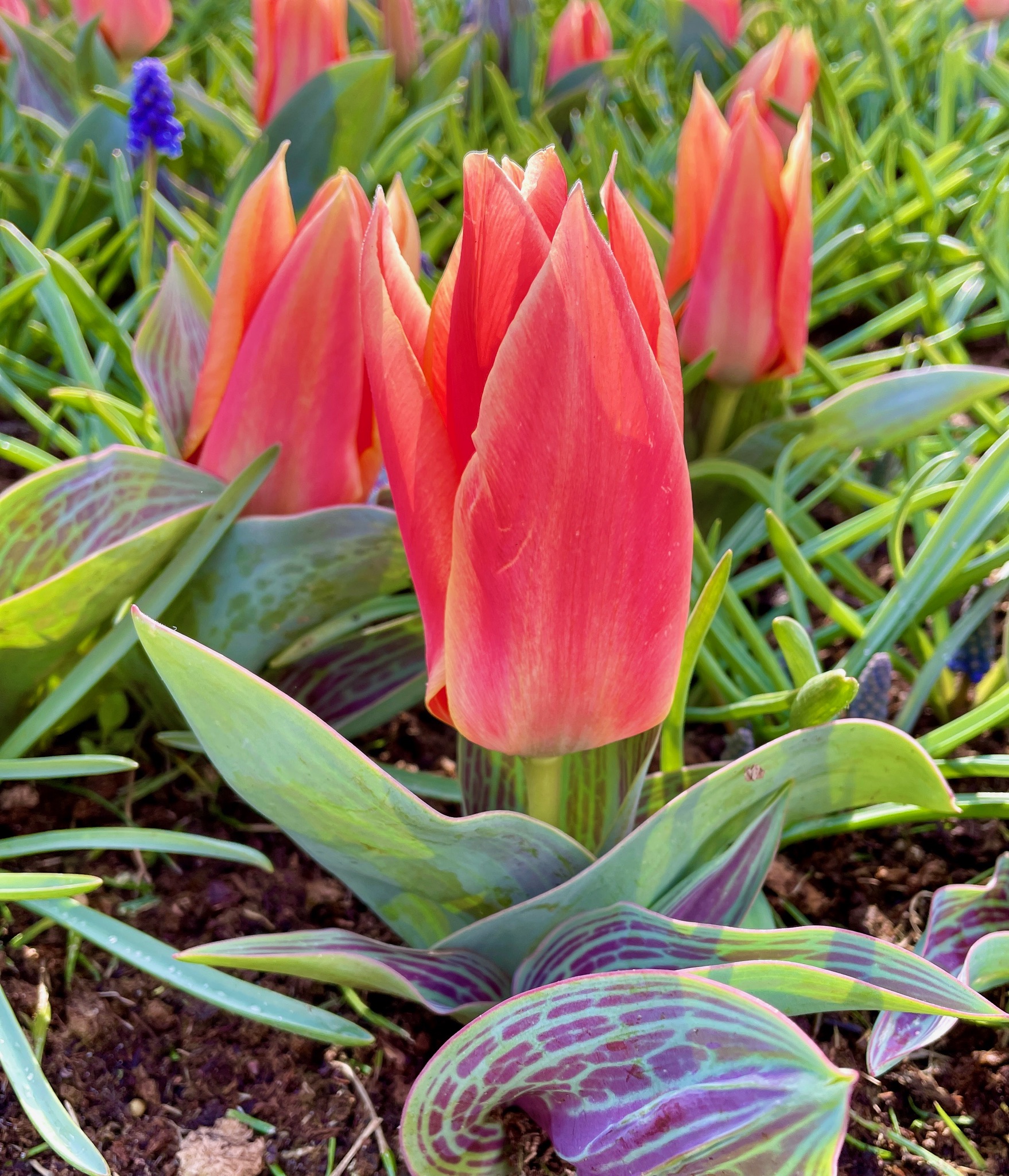
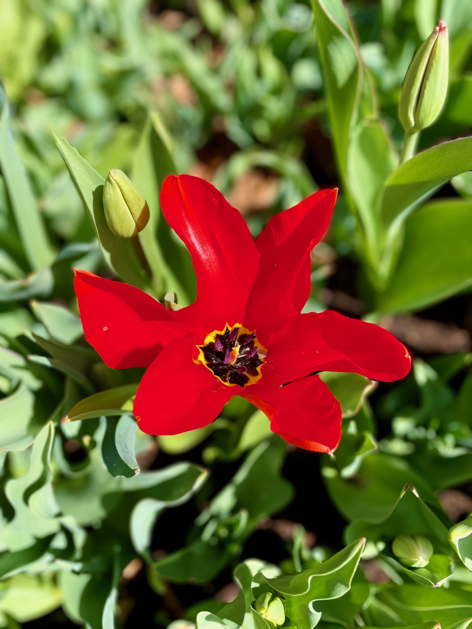
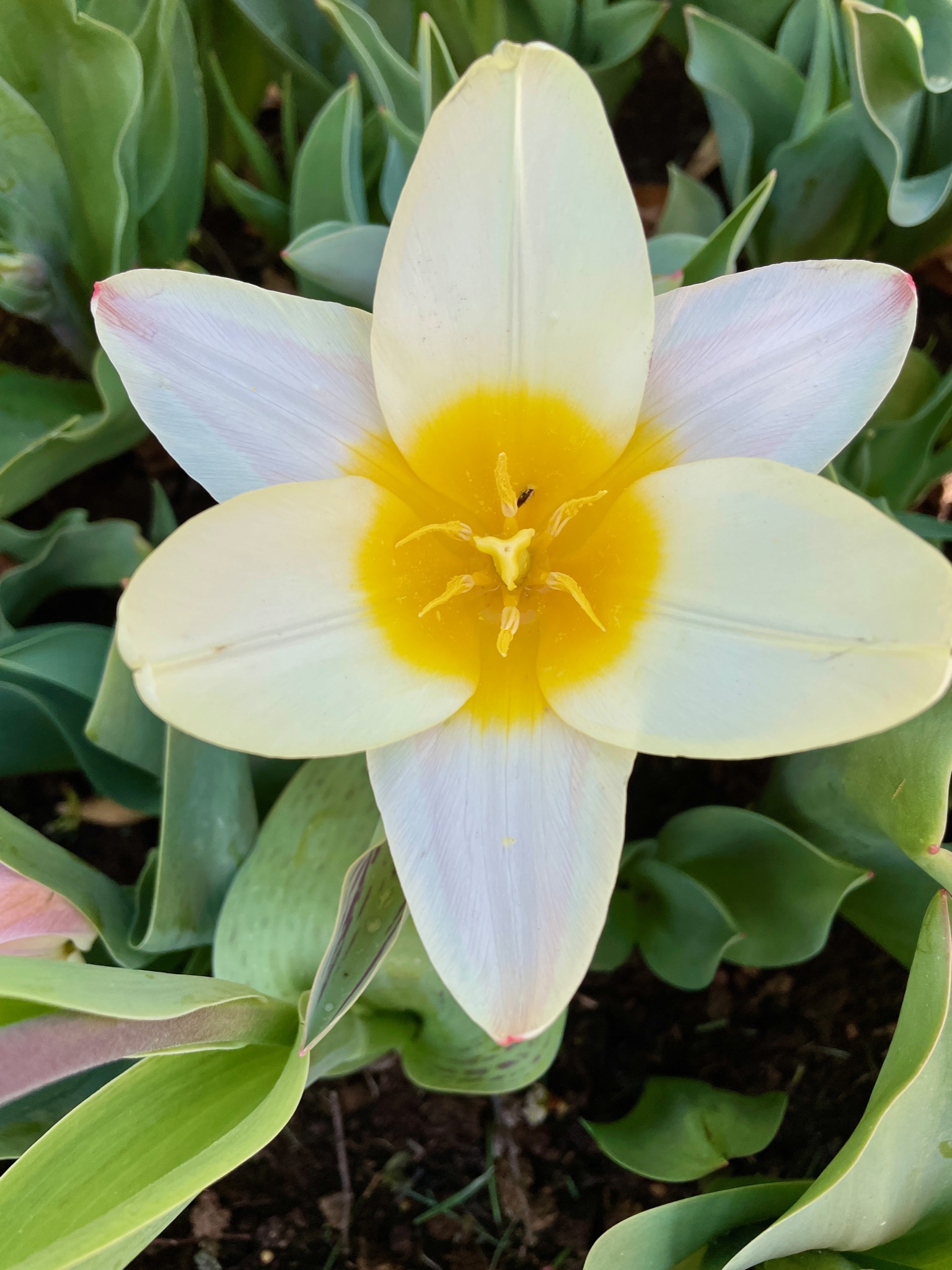
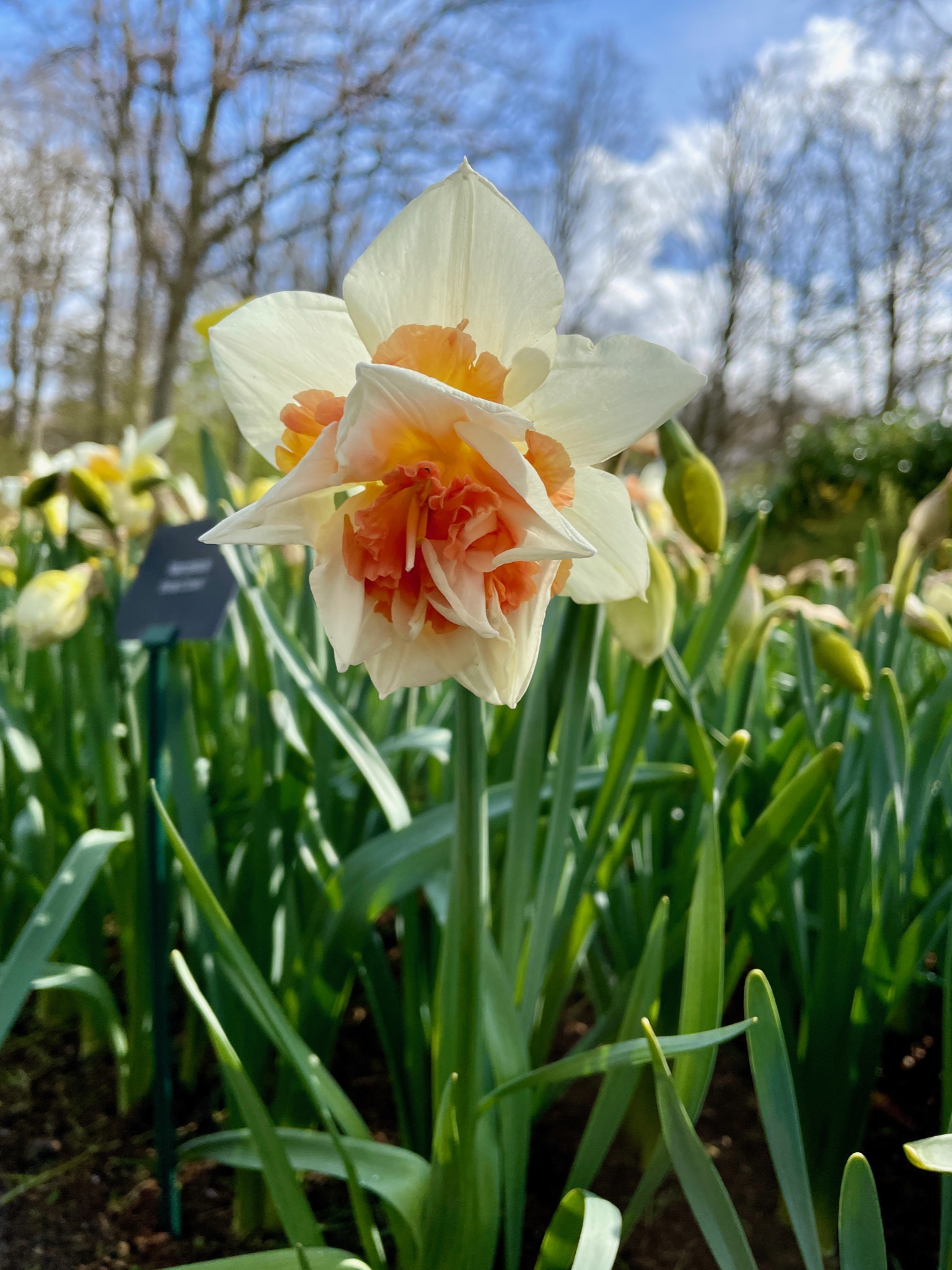
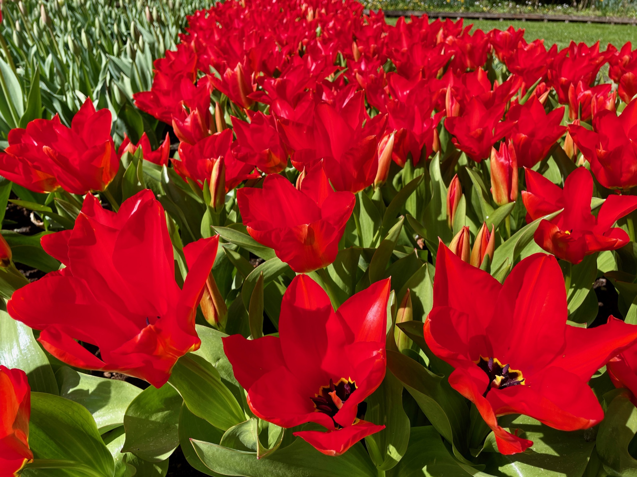
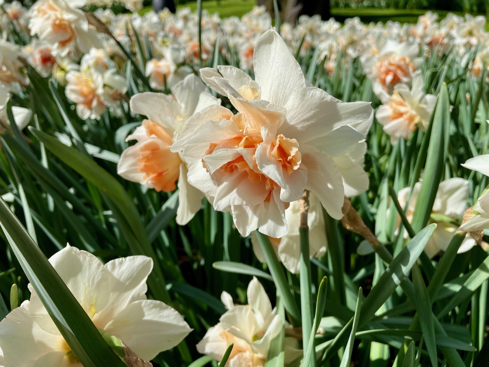
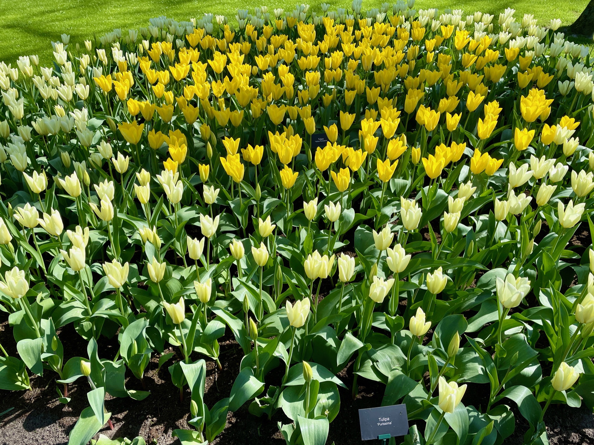
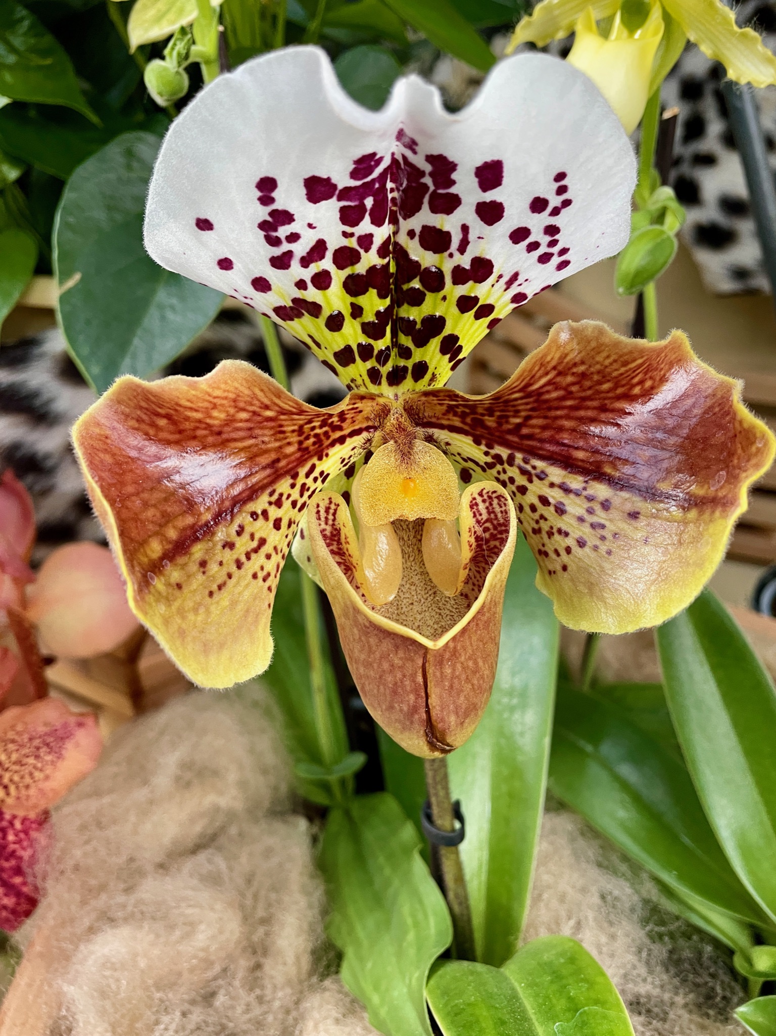
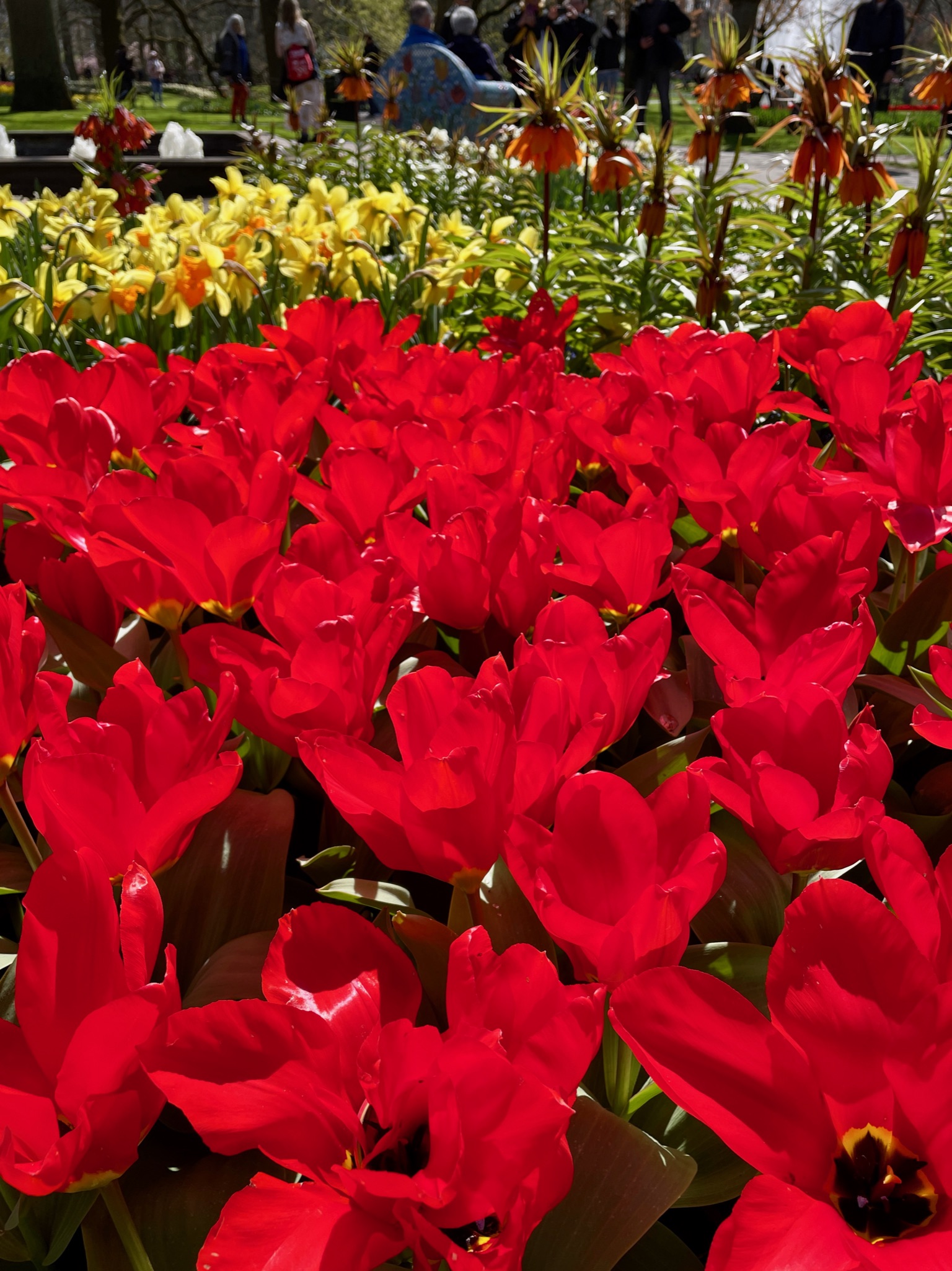
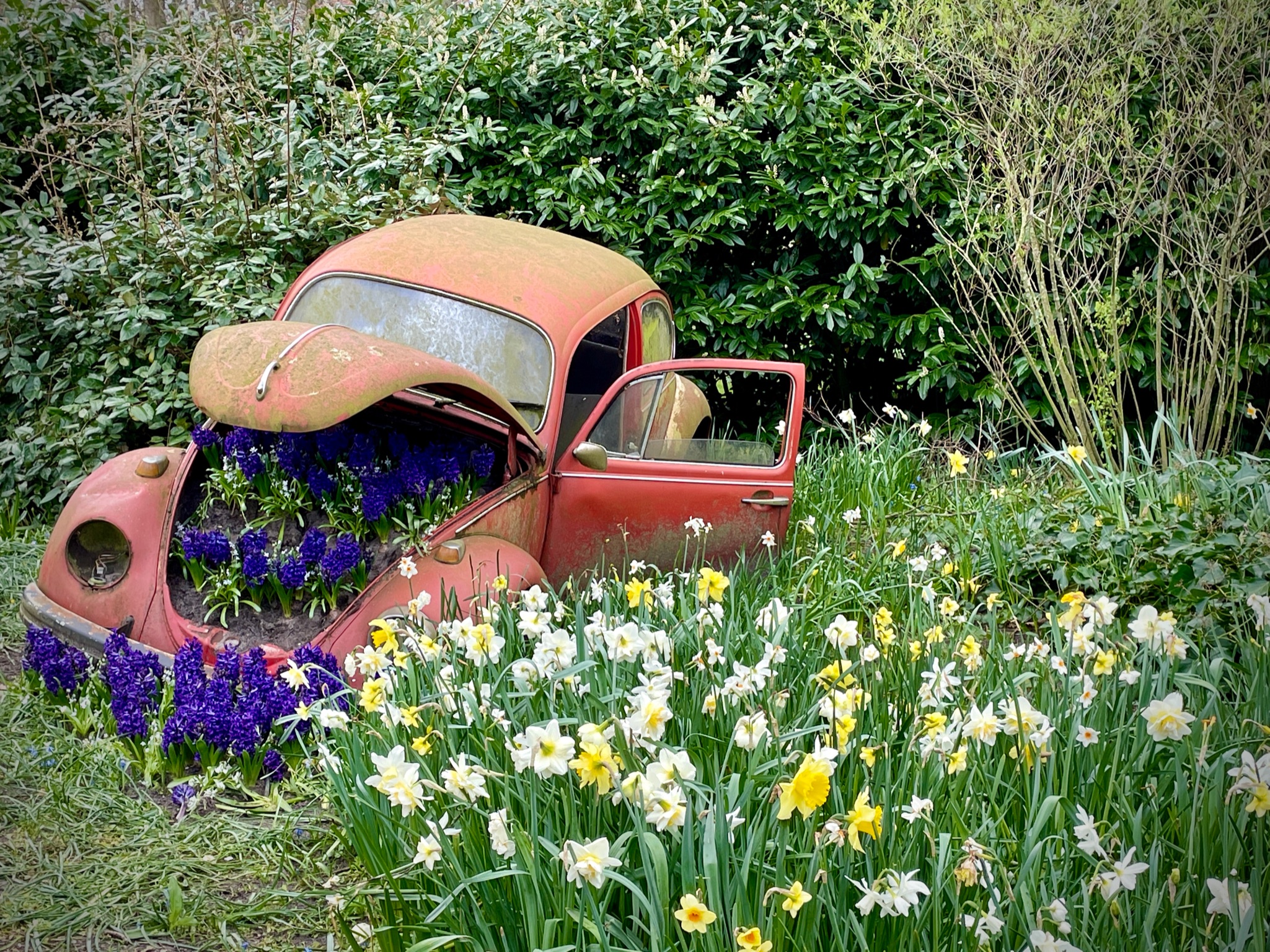
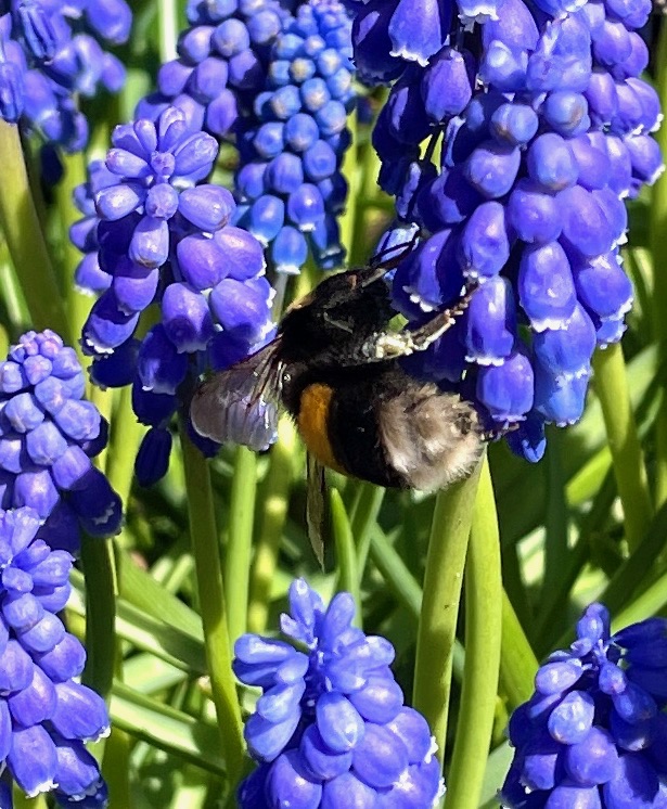
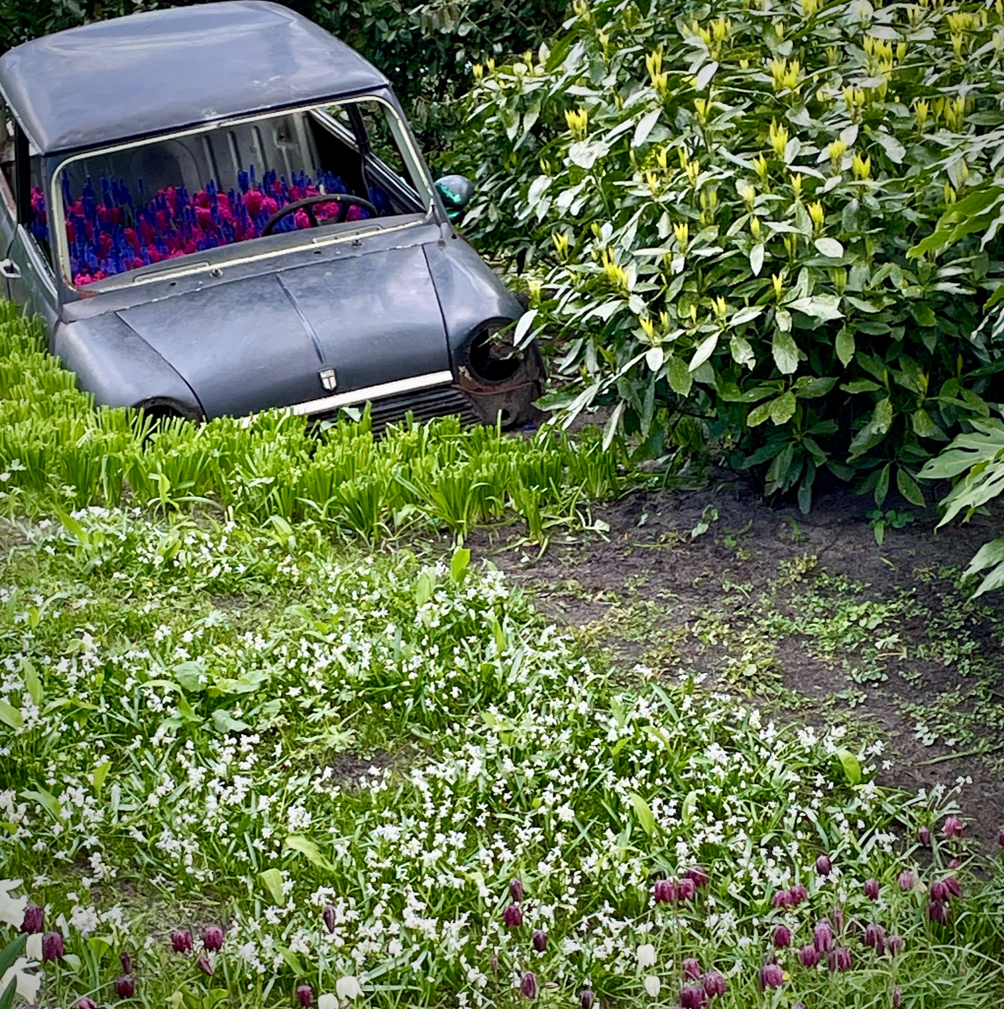
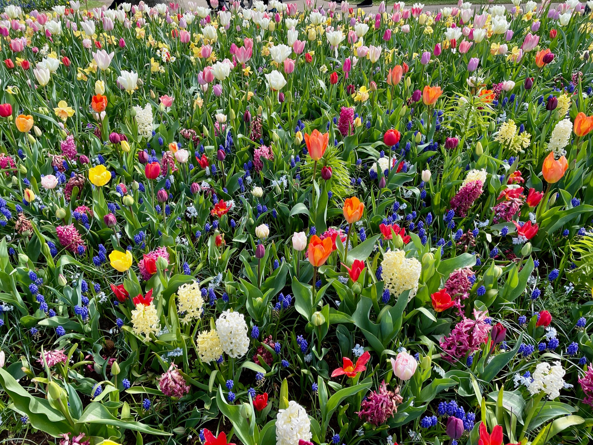
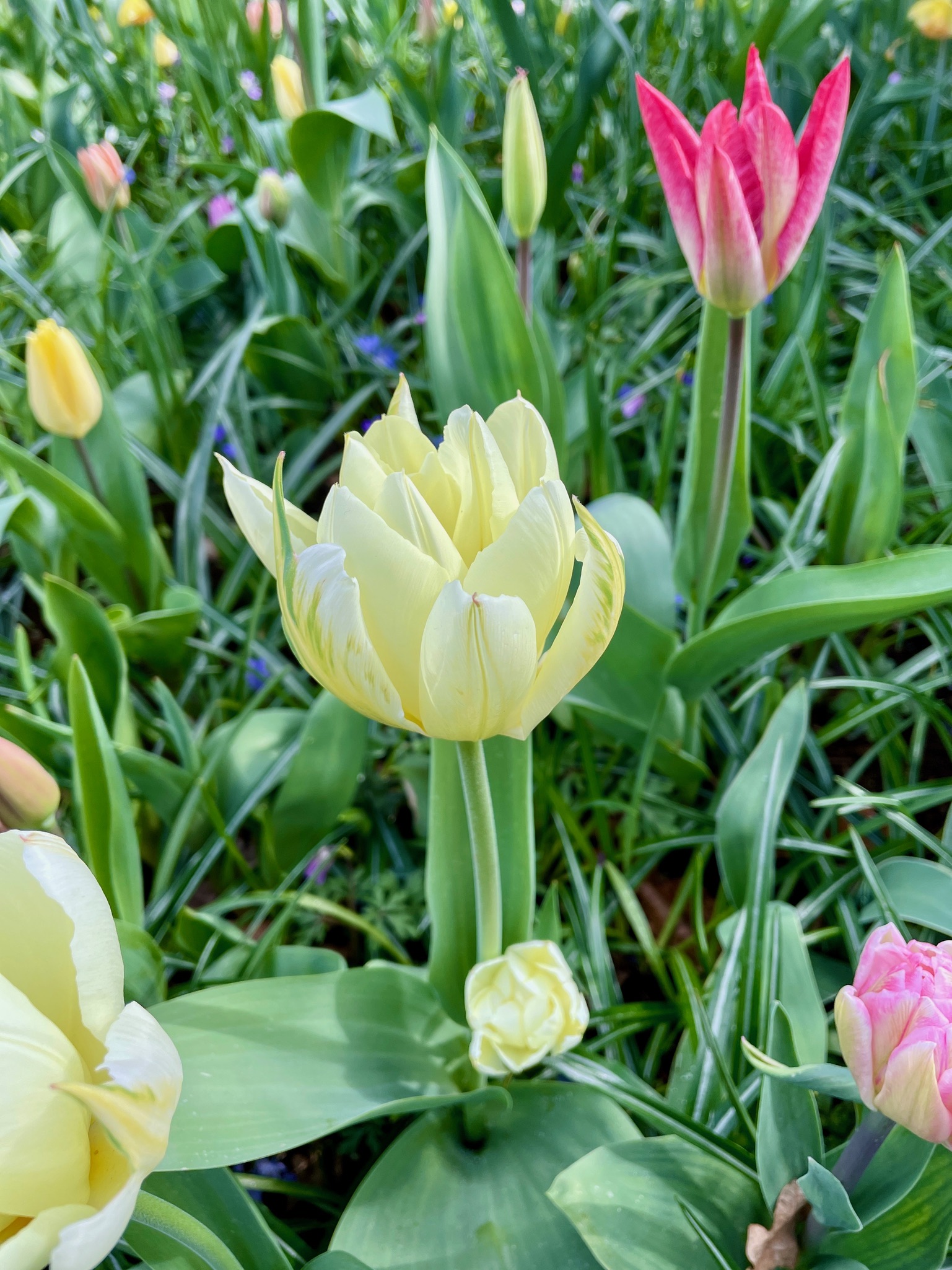
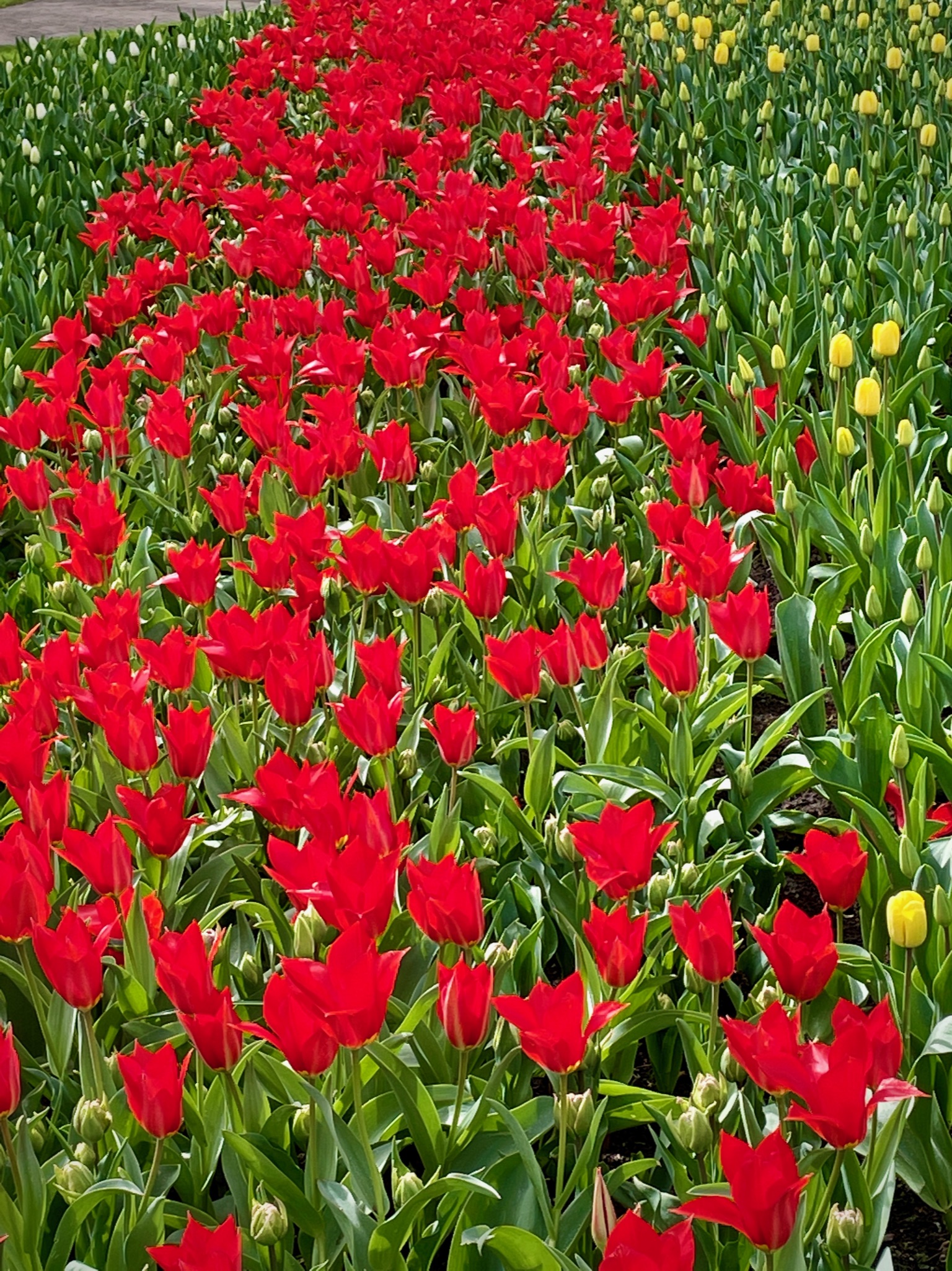
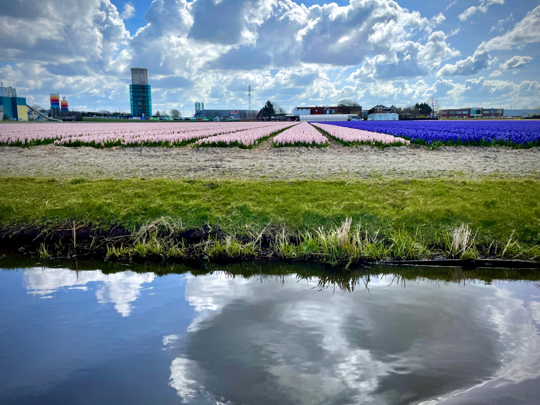
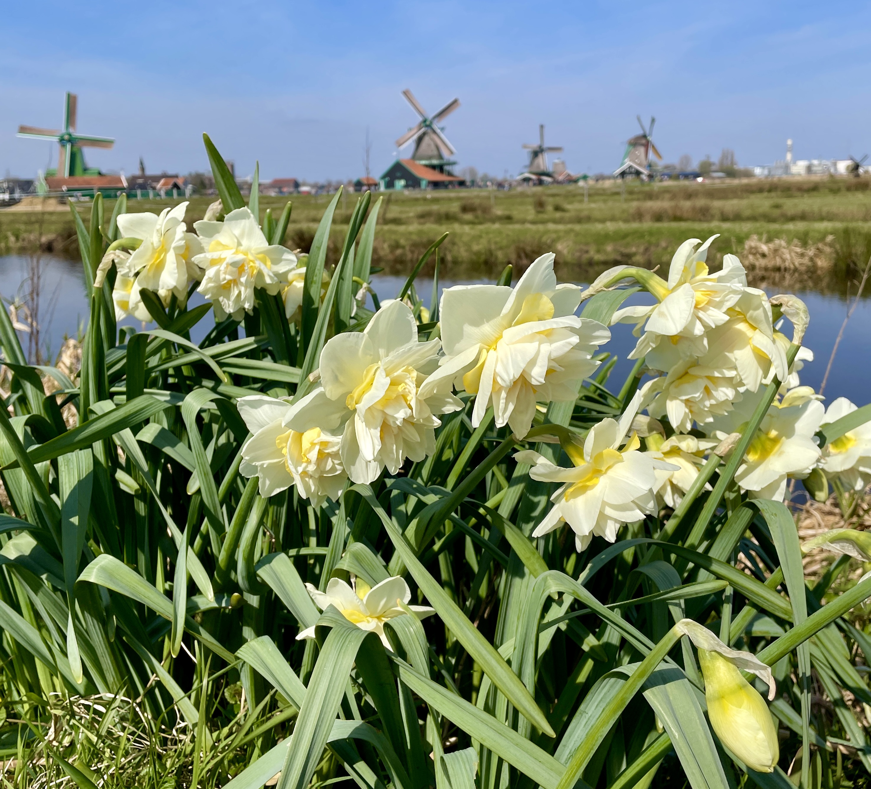
So we took the train to the bus and the bus to Keukenhof where we spent the next 5 or 6 hours exploring the gardens. I think we managed to cover all of it. We did the boat tour too but I didn’t think that was really worth it. The field tulips weren’t blooming yet so it was just daffodils and hyacinths.

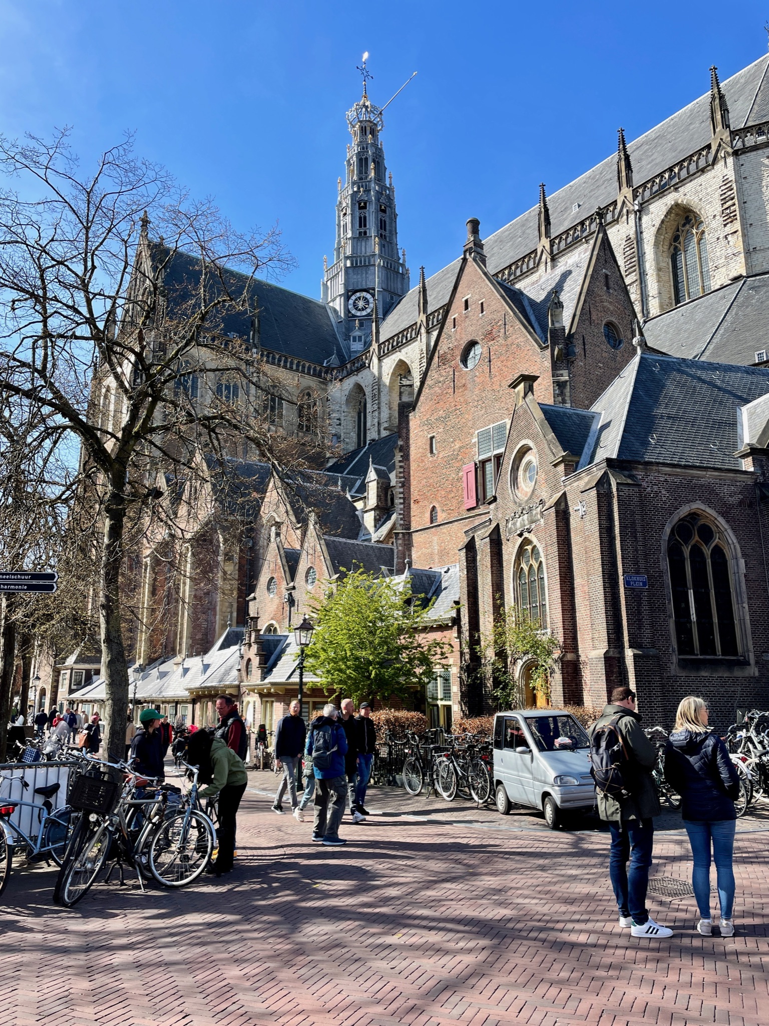
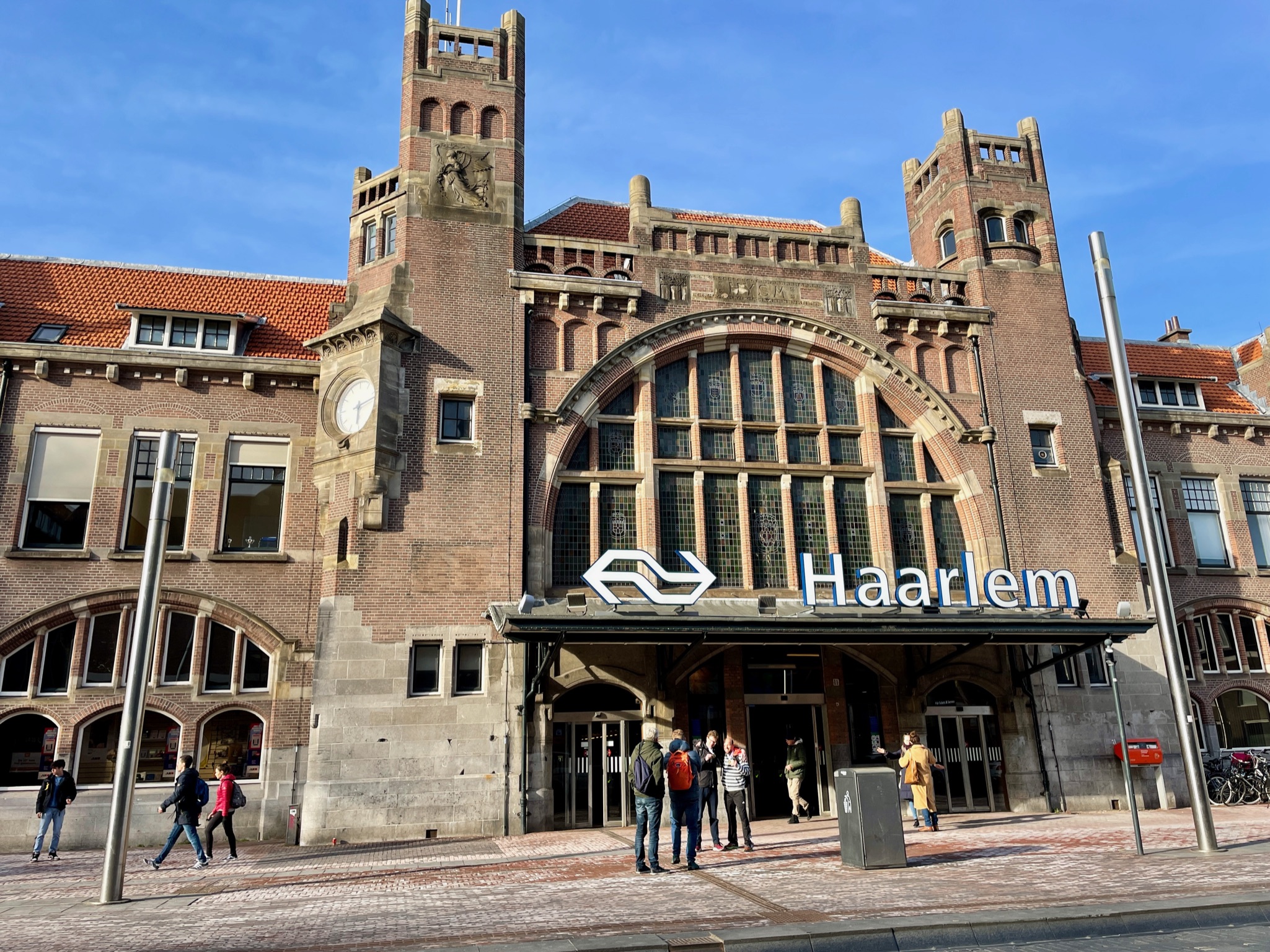
Next we took the bus to the train and headed for Haarlam where we wandered around and had dinner. After a full day on our feet, having eaten only a muffin for breakfast, we were starving! Haarlam is a pretty city with lots to see including some teenagers practicing their dance moves at the town square.

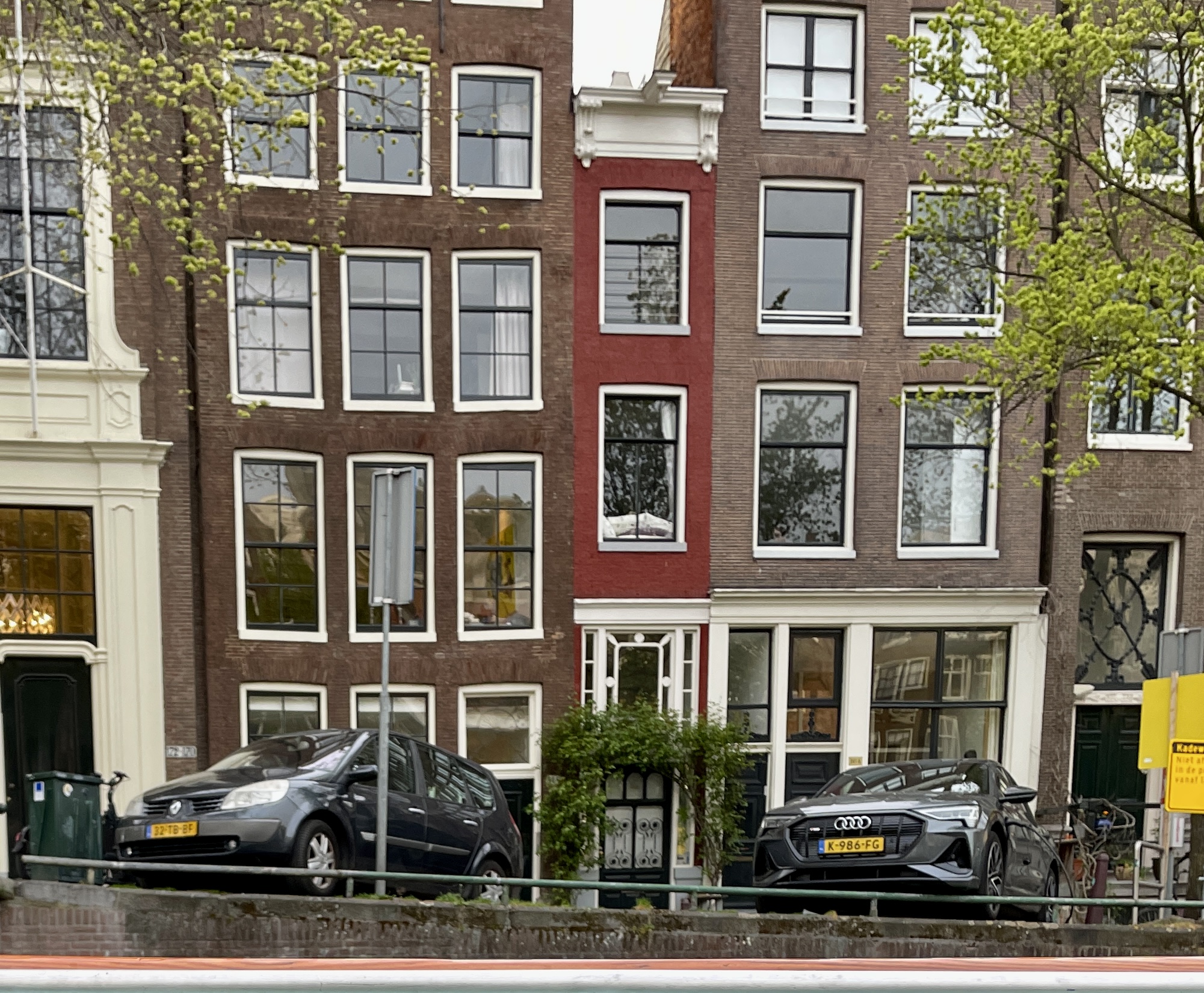
The train back to Amsterdam was easy and we spend some more time wandering the back streets, looking for stropwaffles. No luck with those. Apparently that’s day time food so we settled on candy and found a wonderful selection of droppies. Maybe a few will even make it home to share.
By the time we got back to our boat we’d logged 30,000 steps. Twas a good day.

Monday

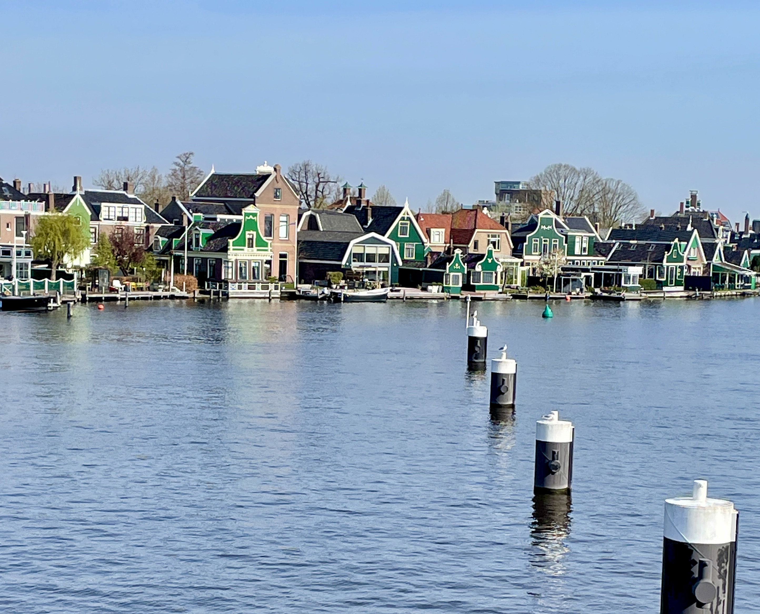
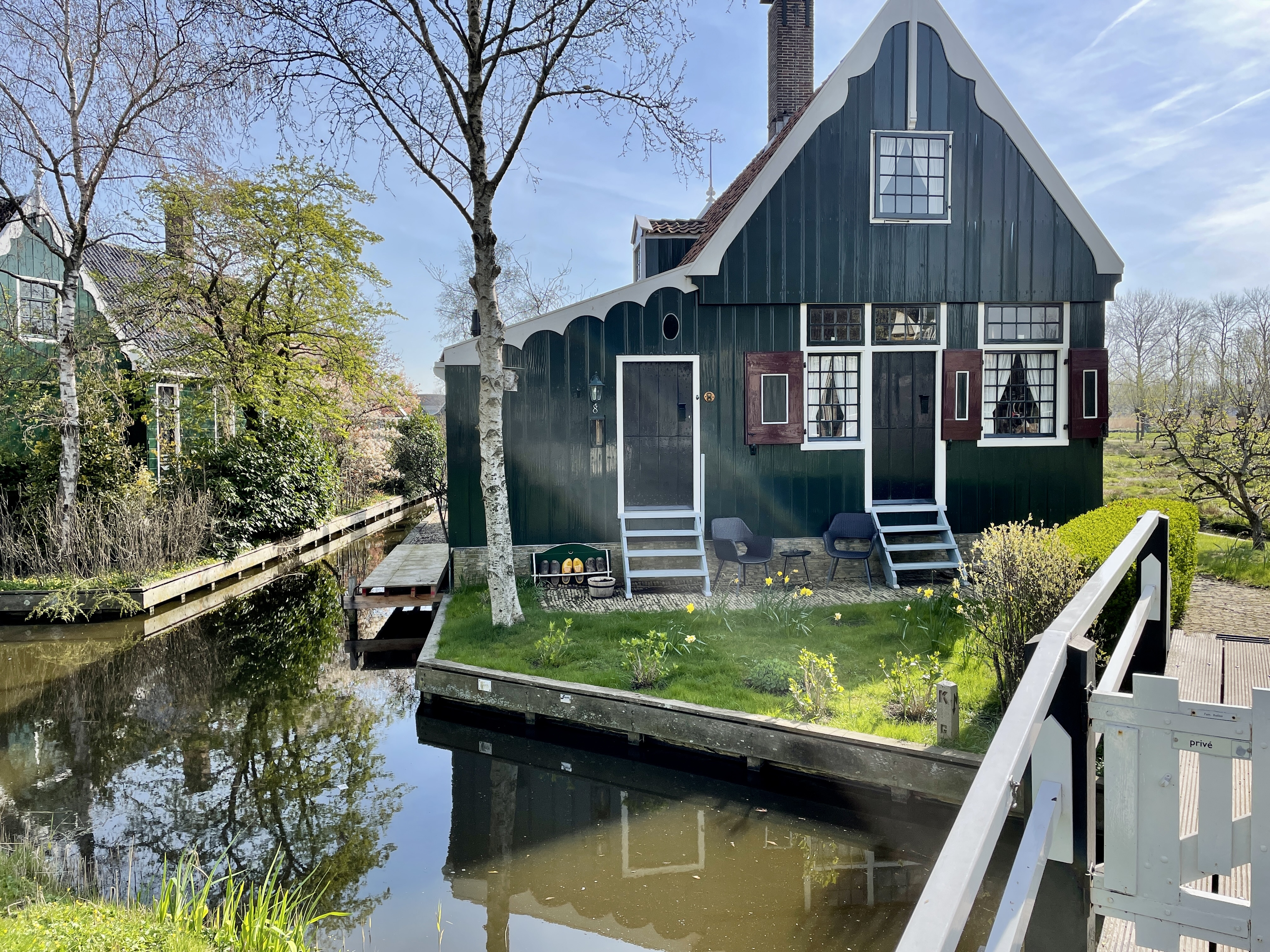
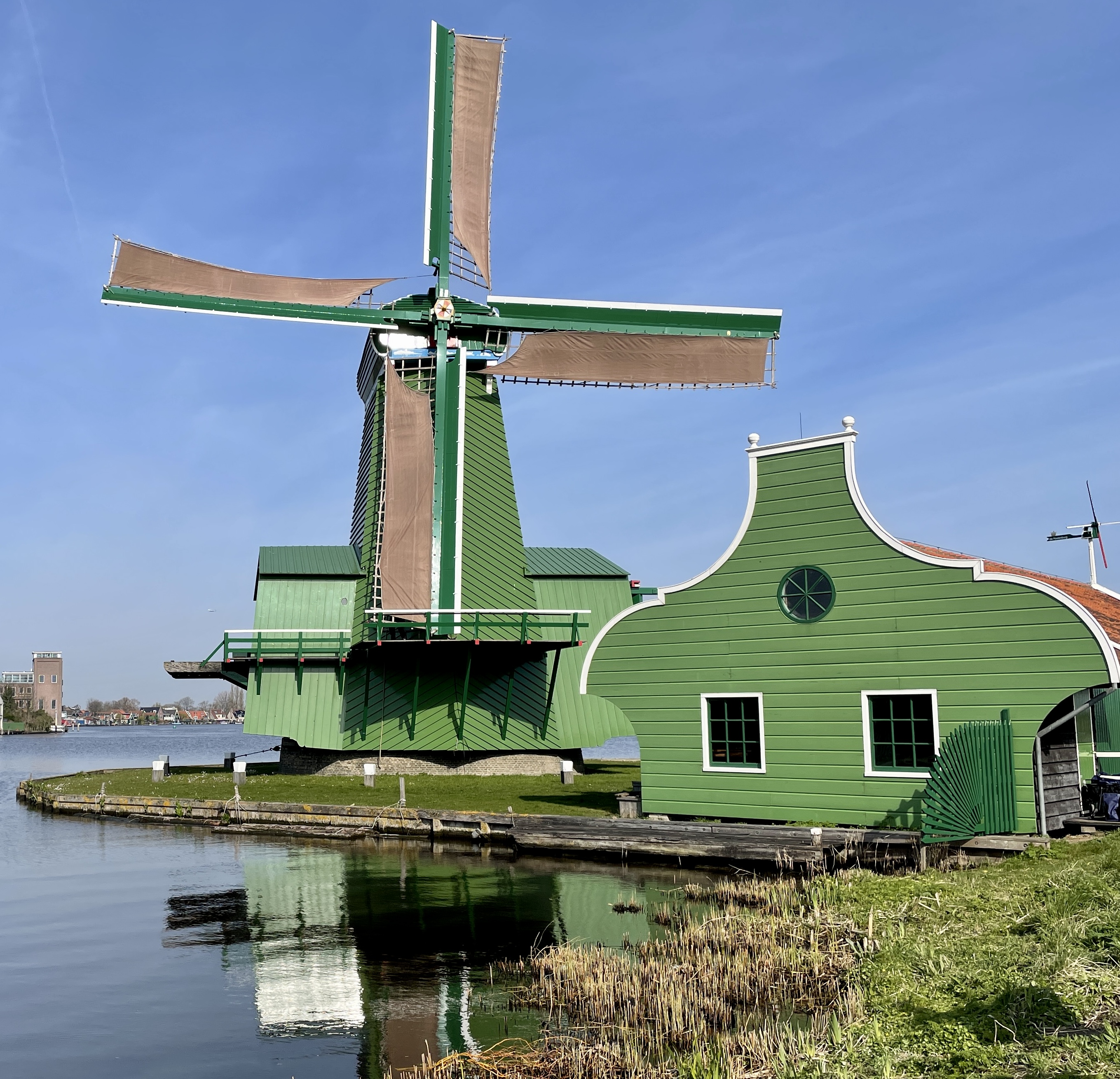
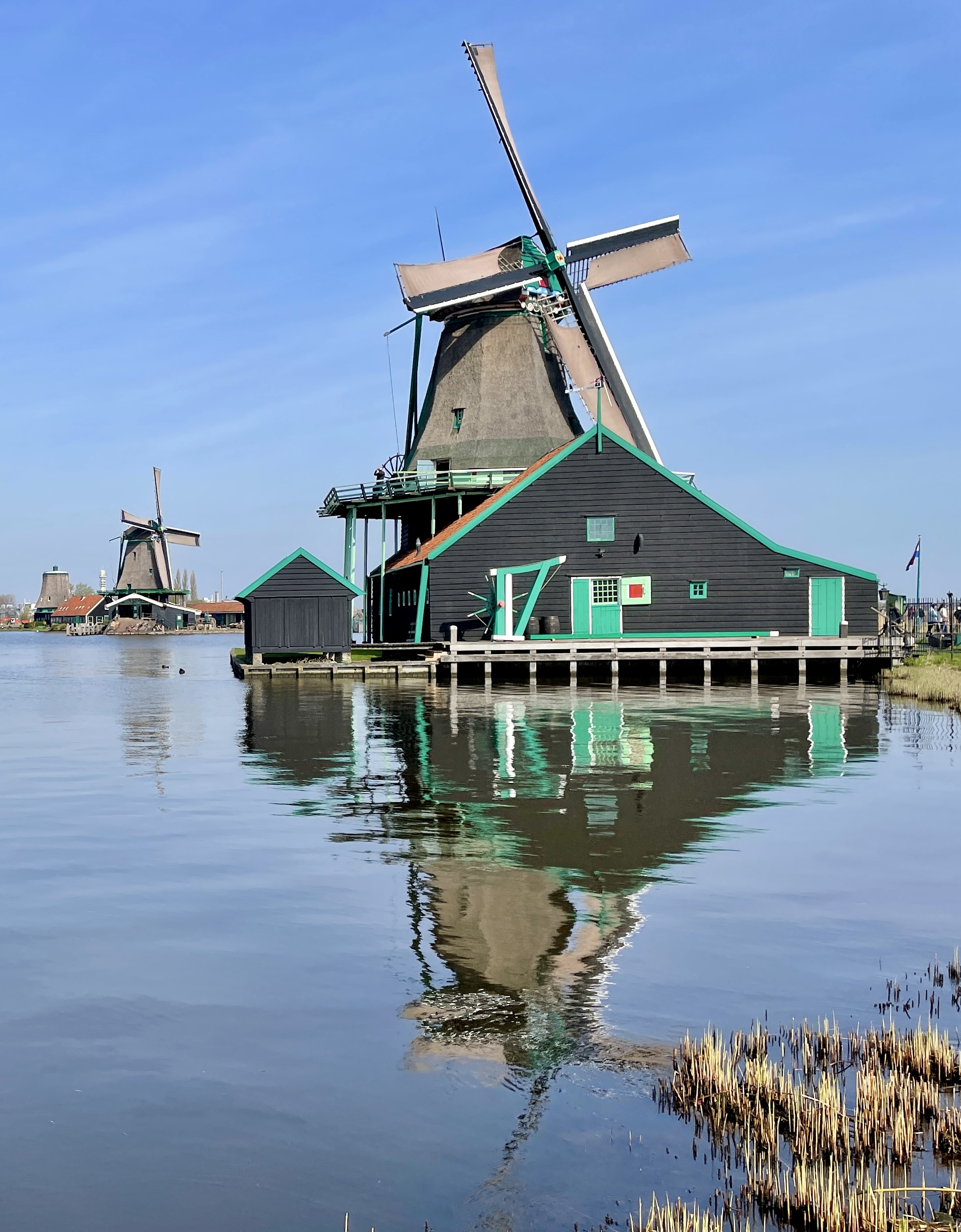
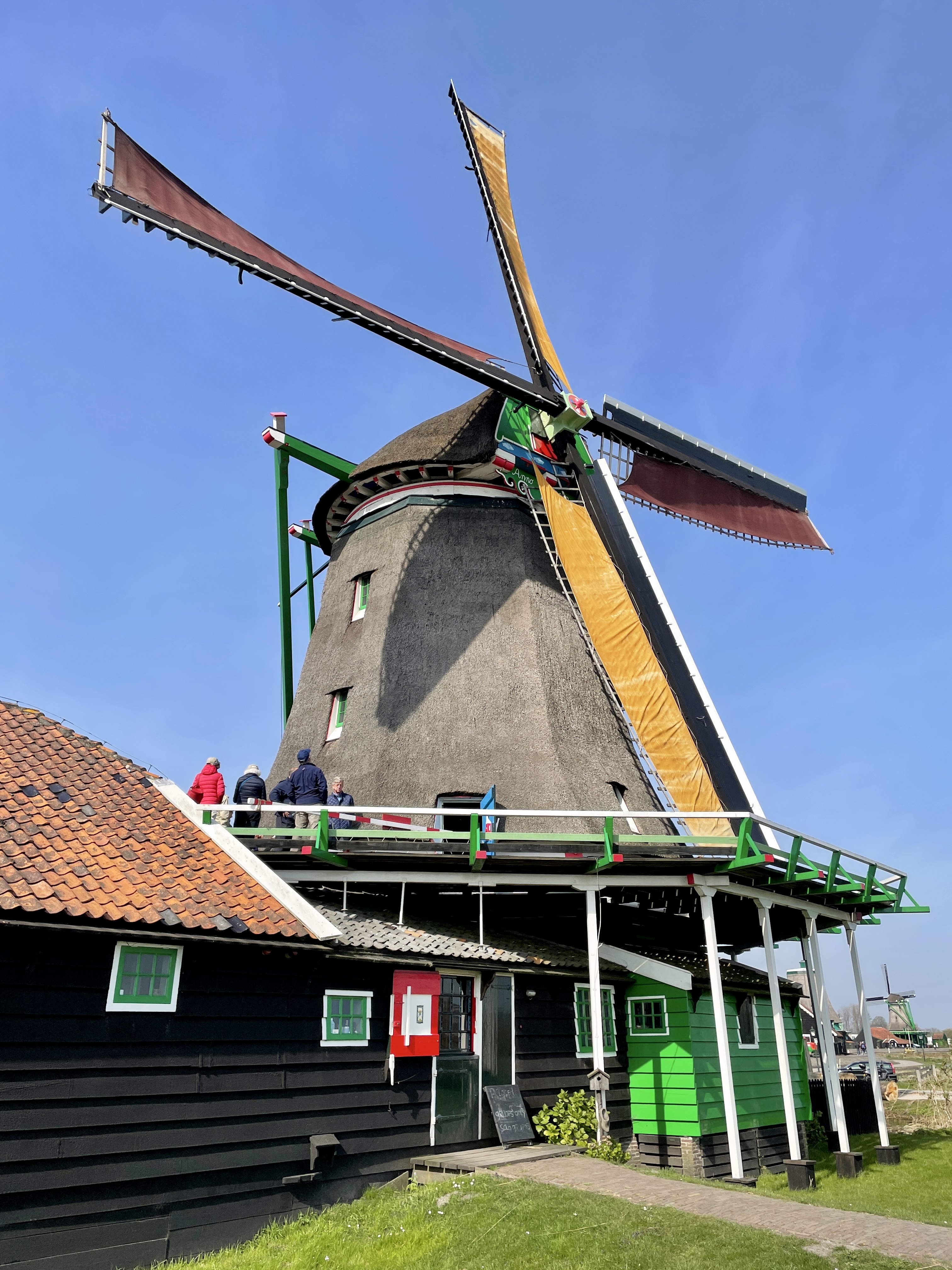
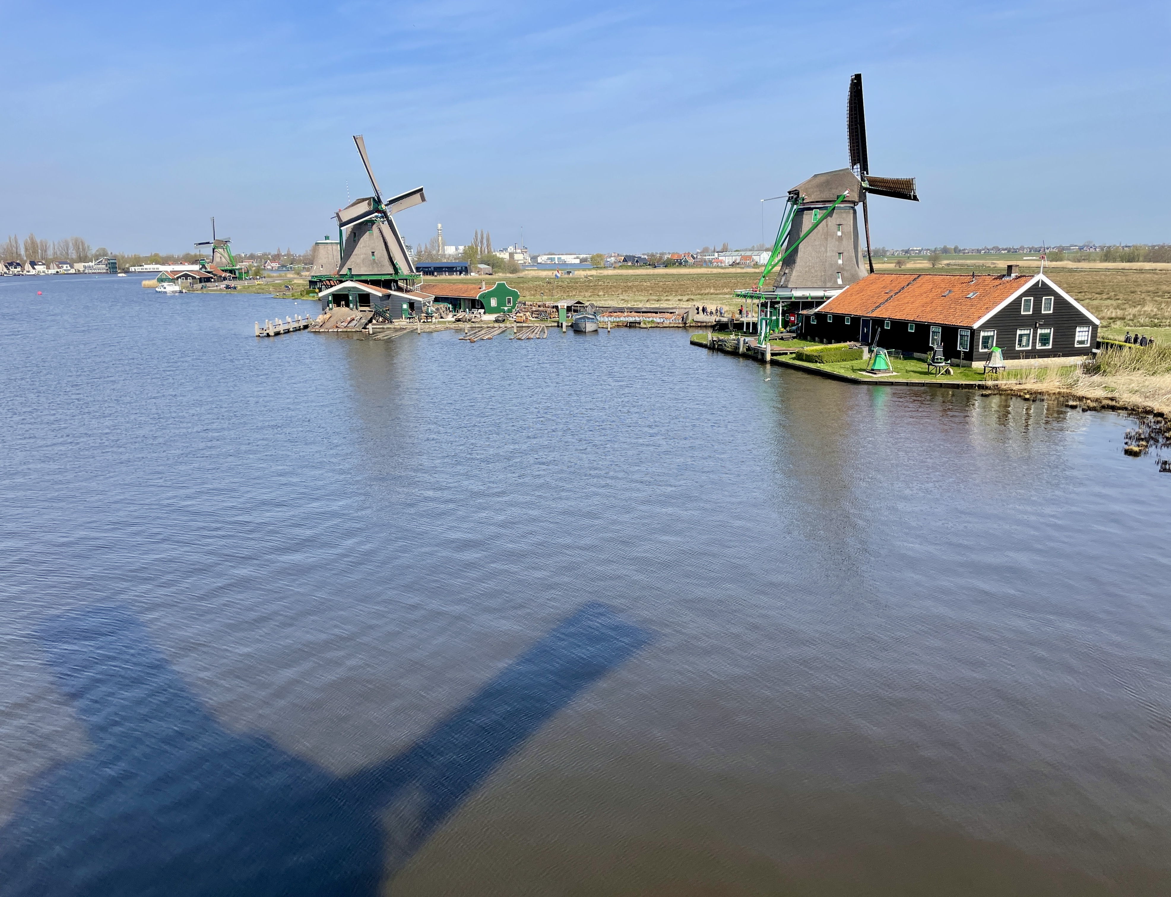
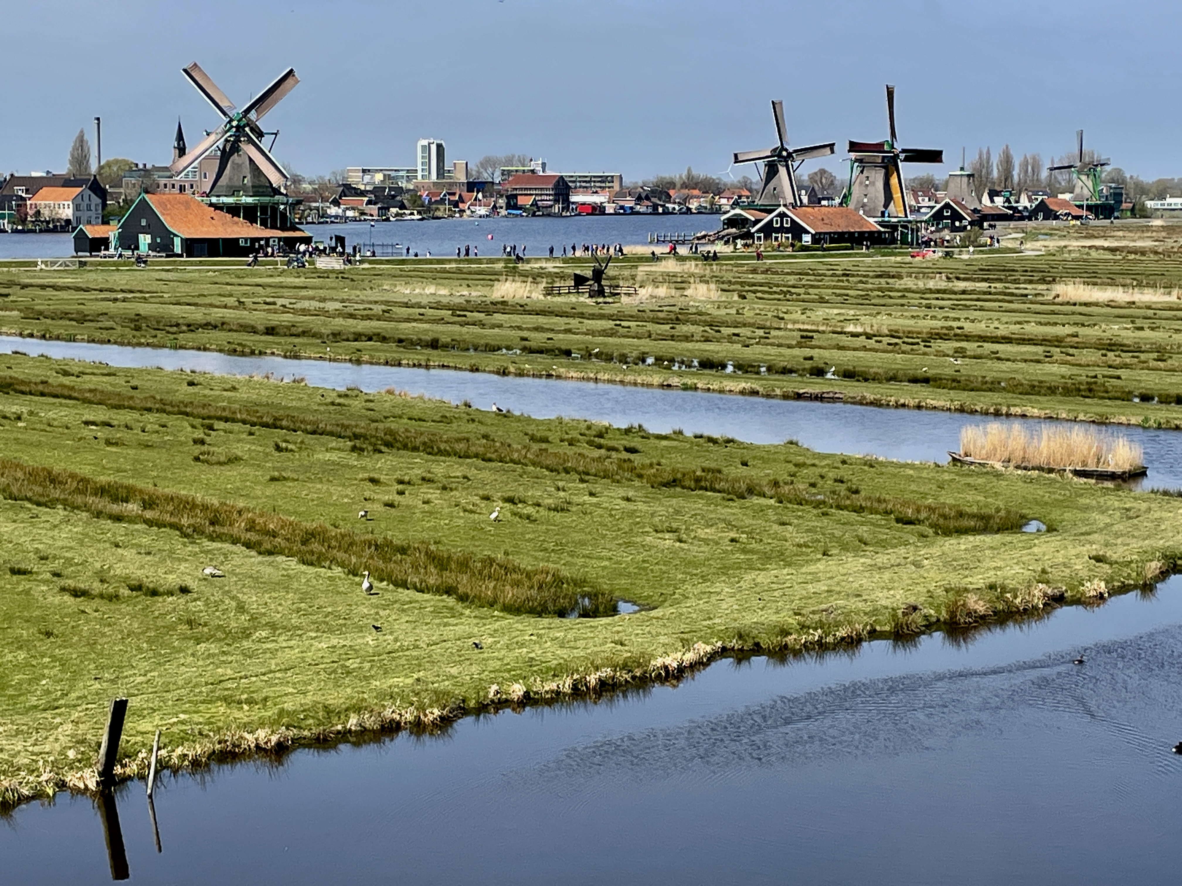
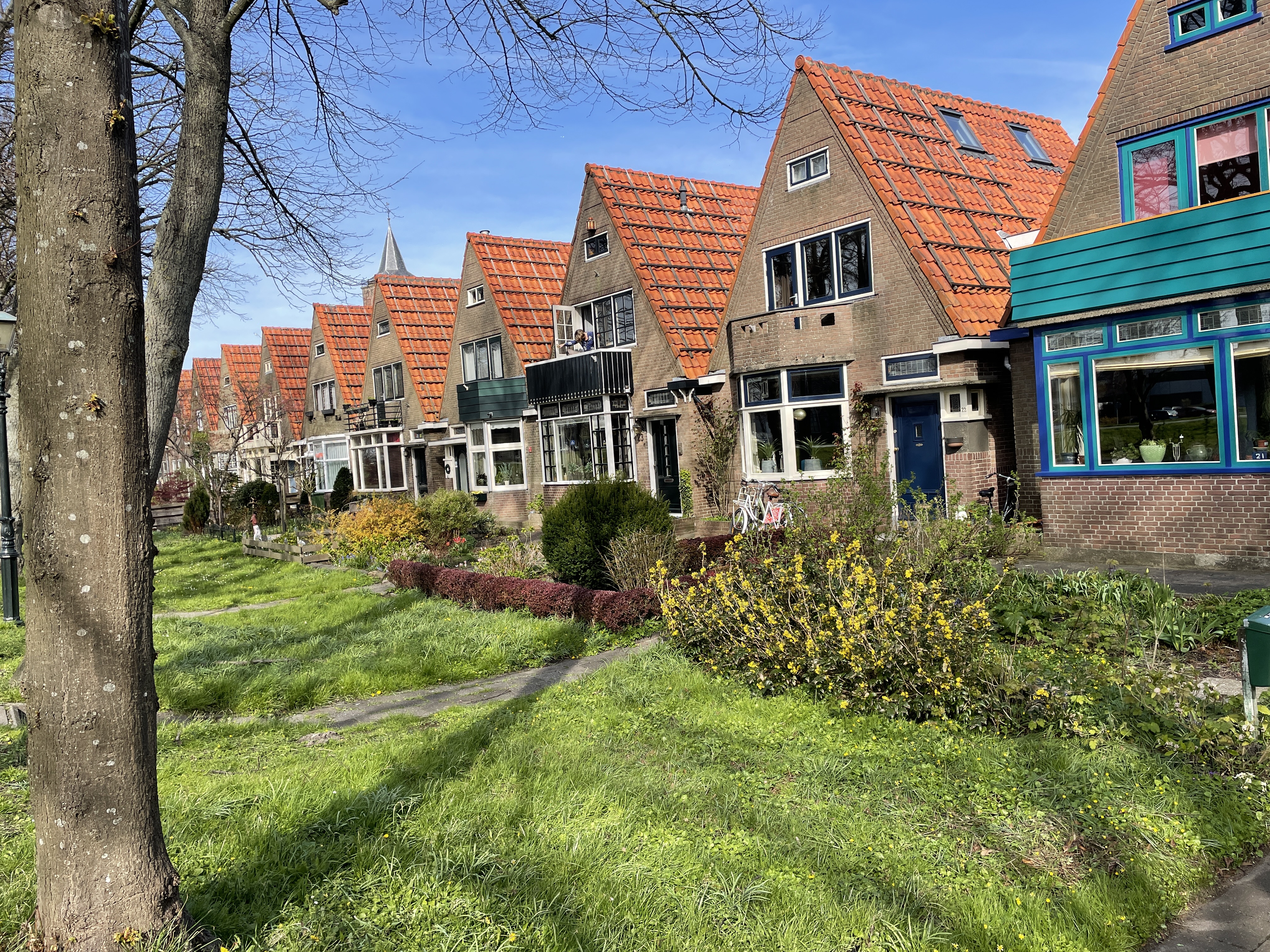
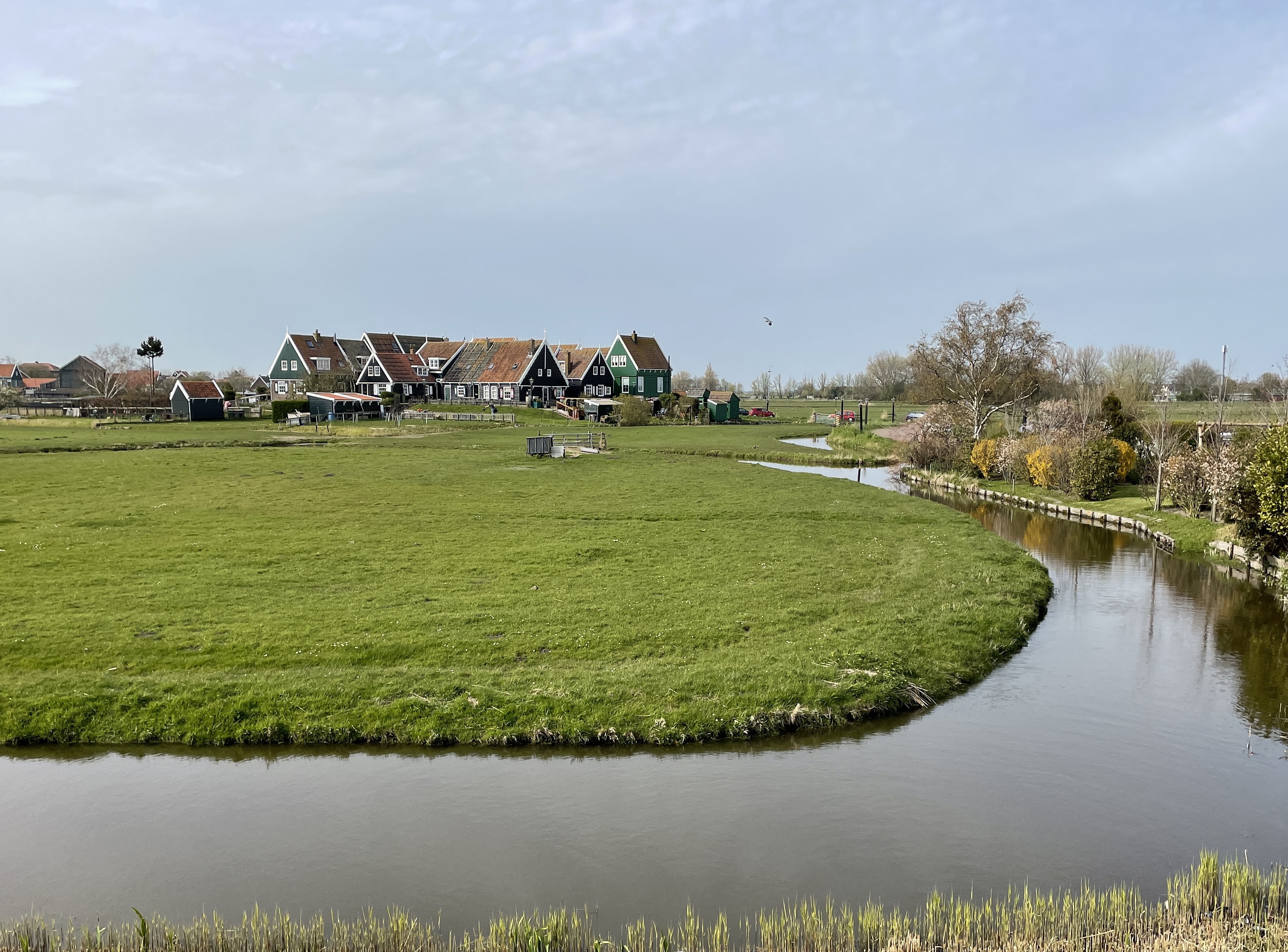
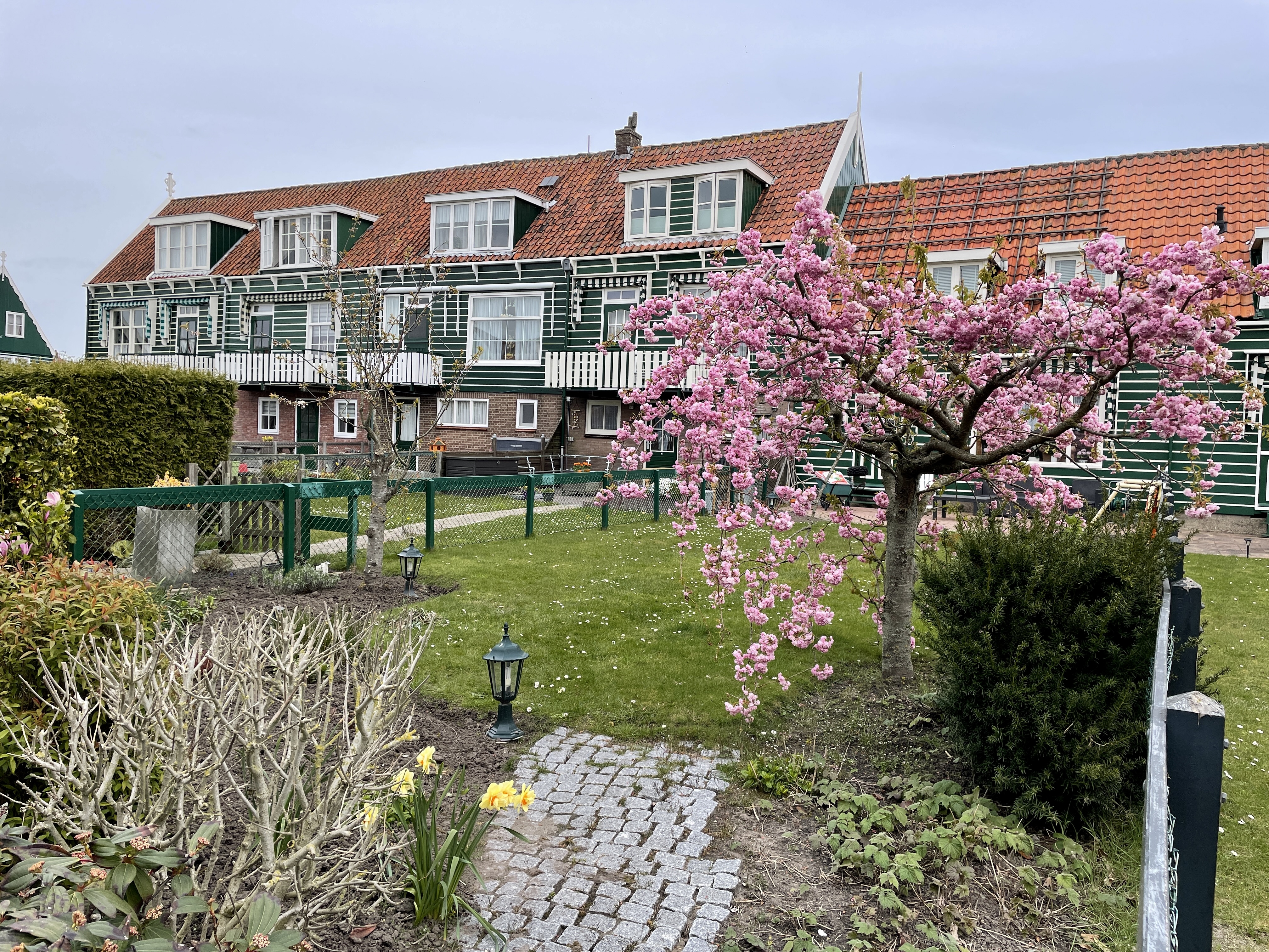
The Vita Nova provided a really good breakfast of yogurt and granola, breads, cheese and meats which is nice when you spend your day walking. We got great use of our transit pass today. First we headed for Zaanse Schans, a beautiful village with some of the oldest windmills in the world, a cheese factory (of course) and lots of beautiful homes. We wandered about there for several hours, tasting every cheese we could, watching a demonstration on how to make wooden shoes, climbing a windmill and a look out tower. You could see for miles!

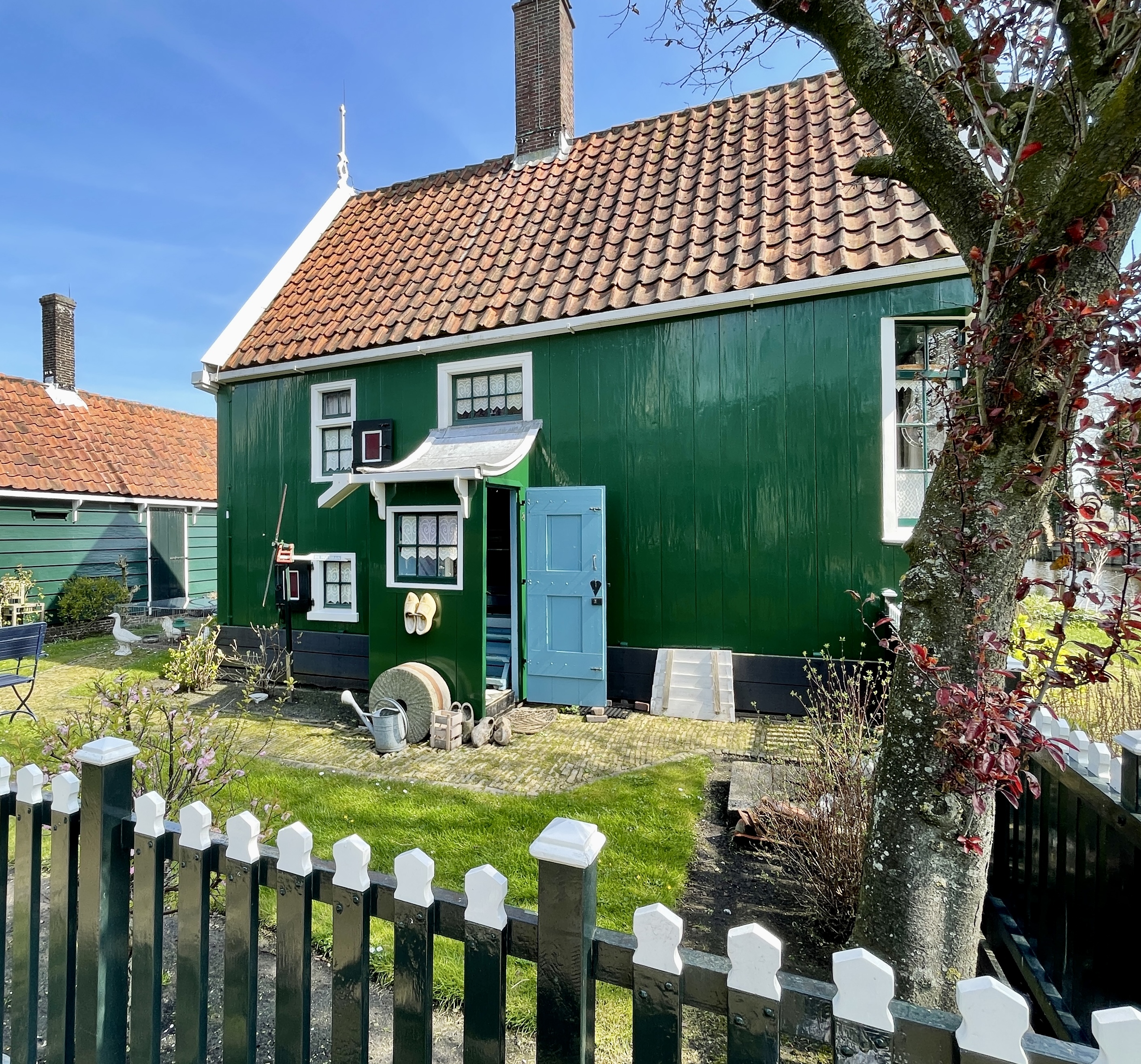
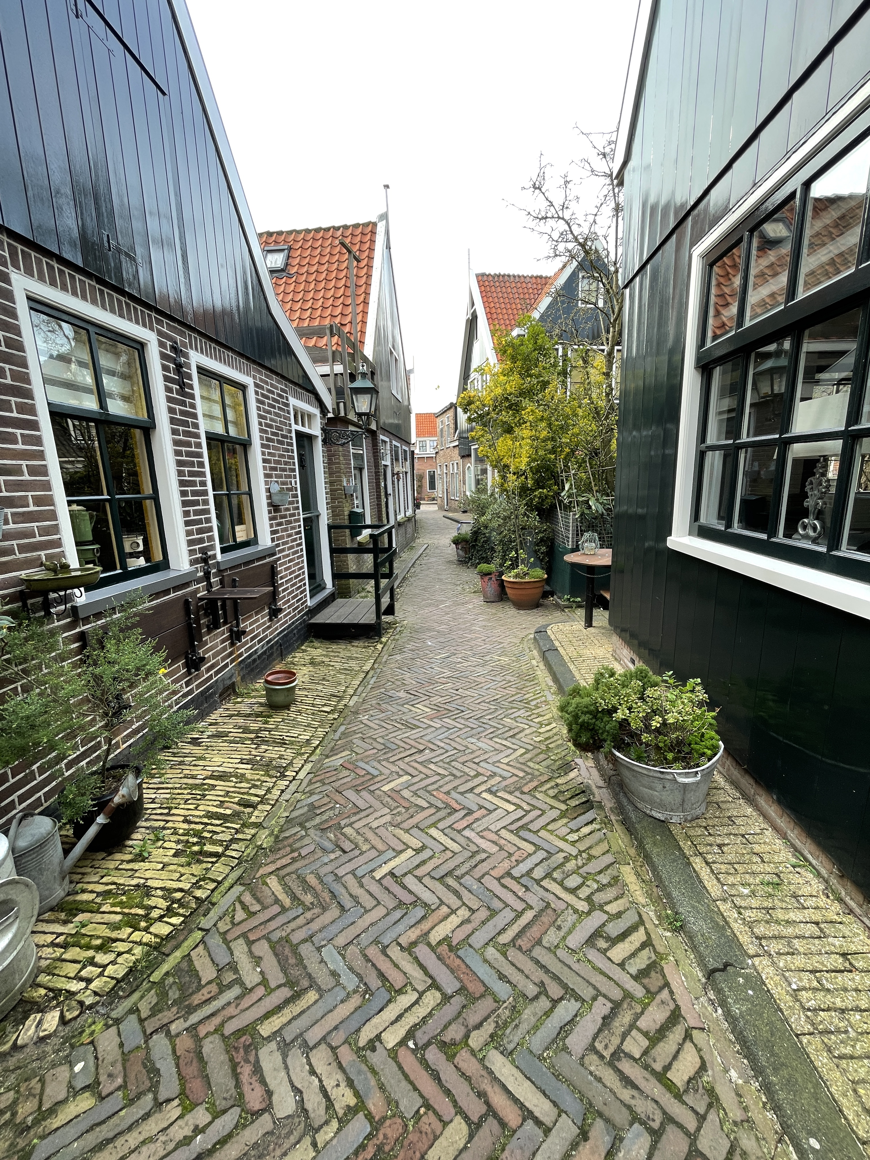
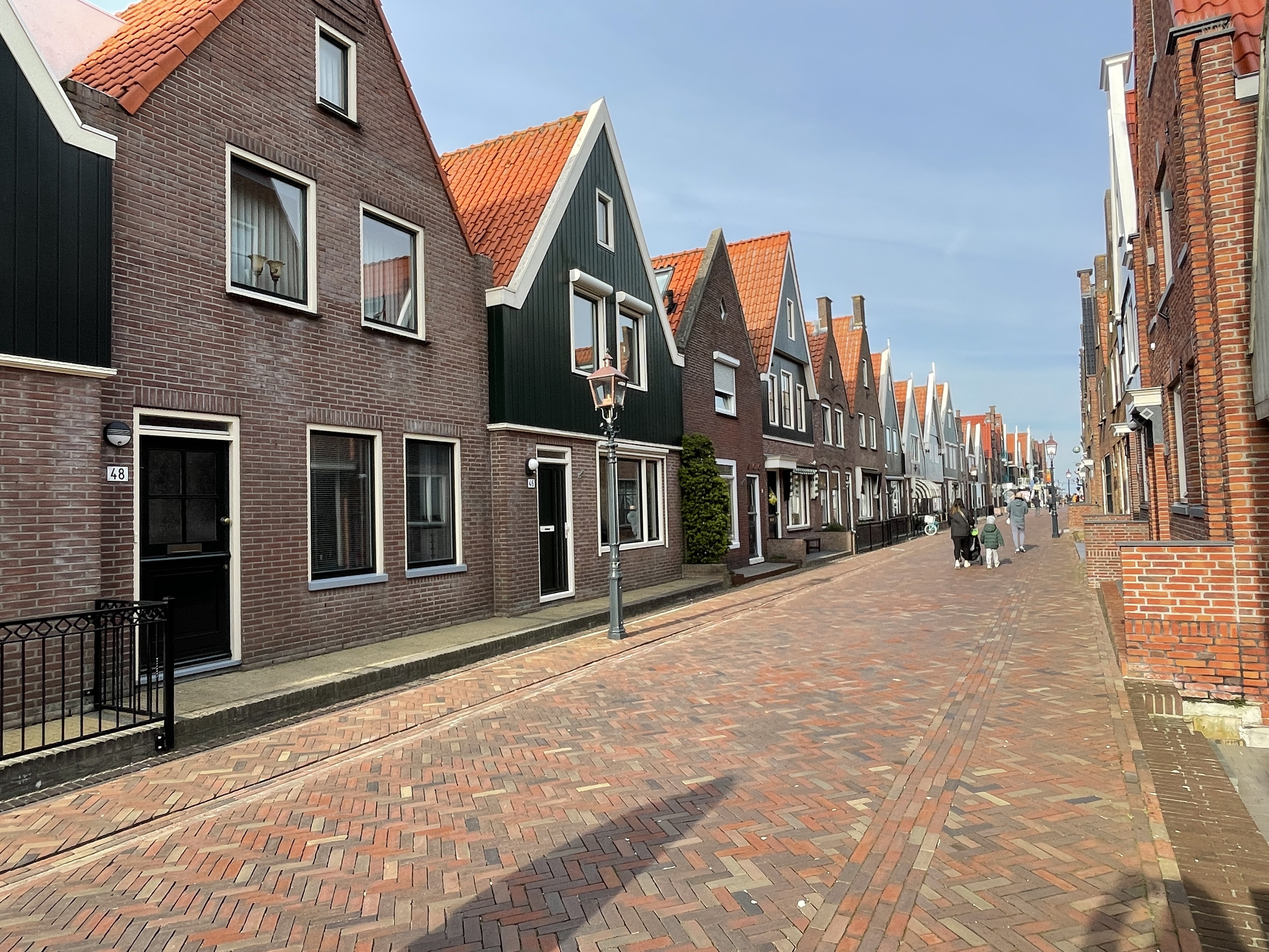
Next we found a bus to Edam and wandered that village for a while. More pretty houses, yet different than Zaanse Schans

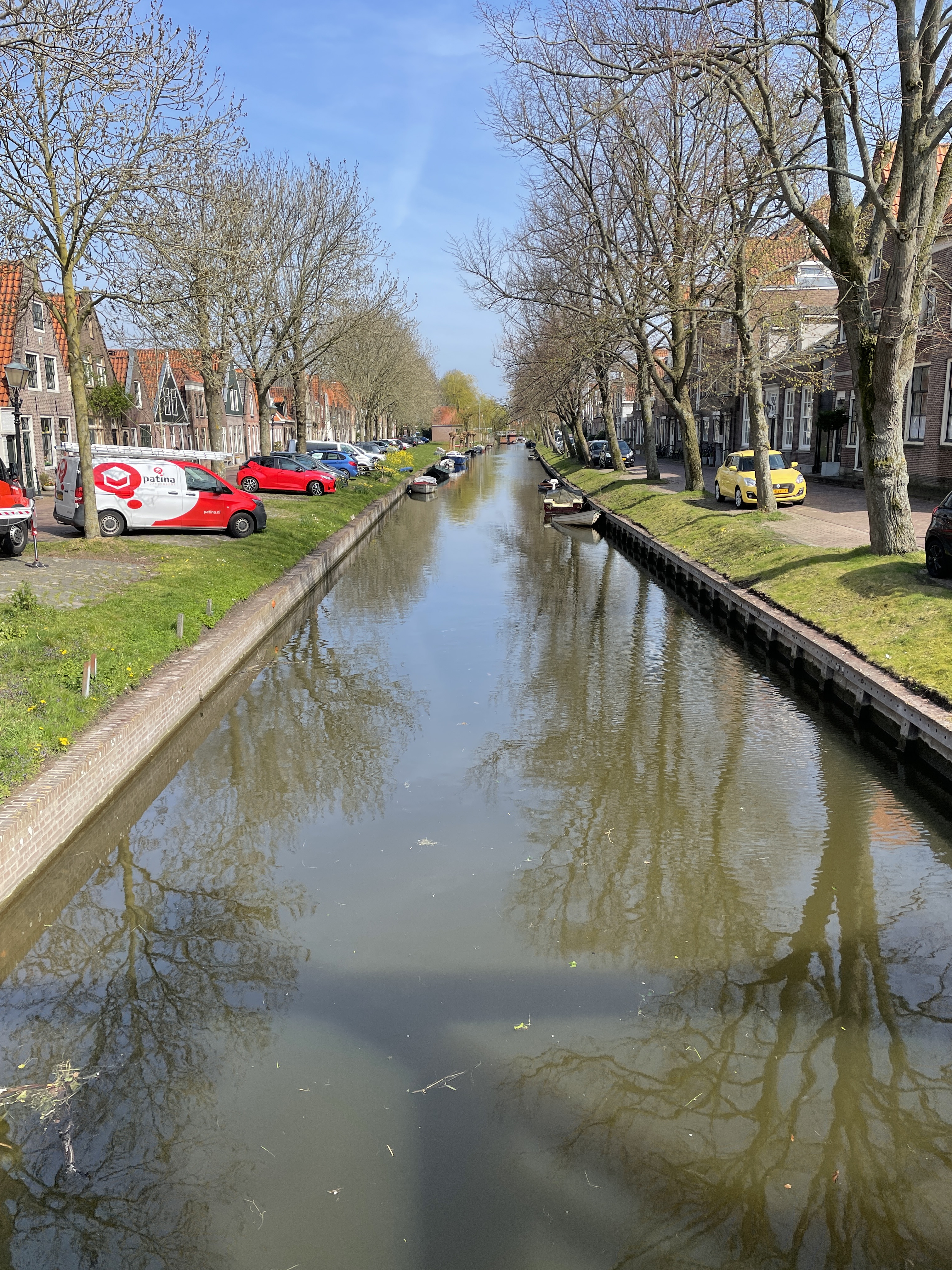
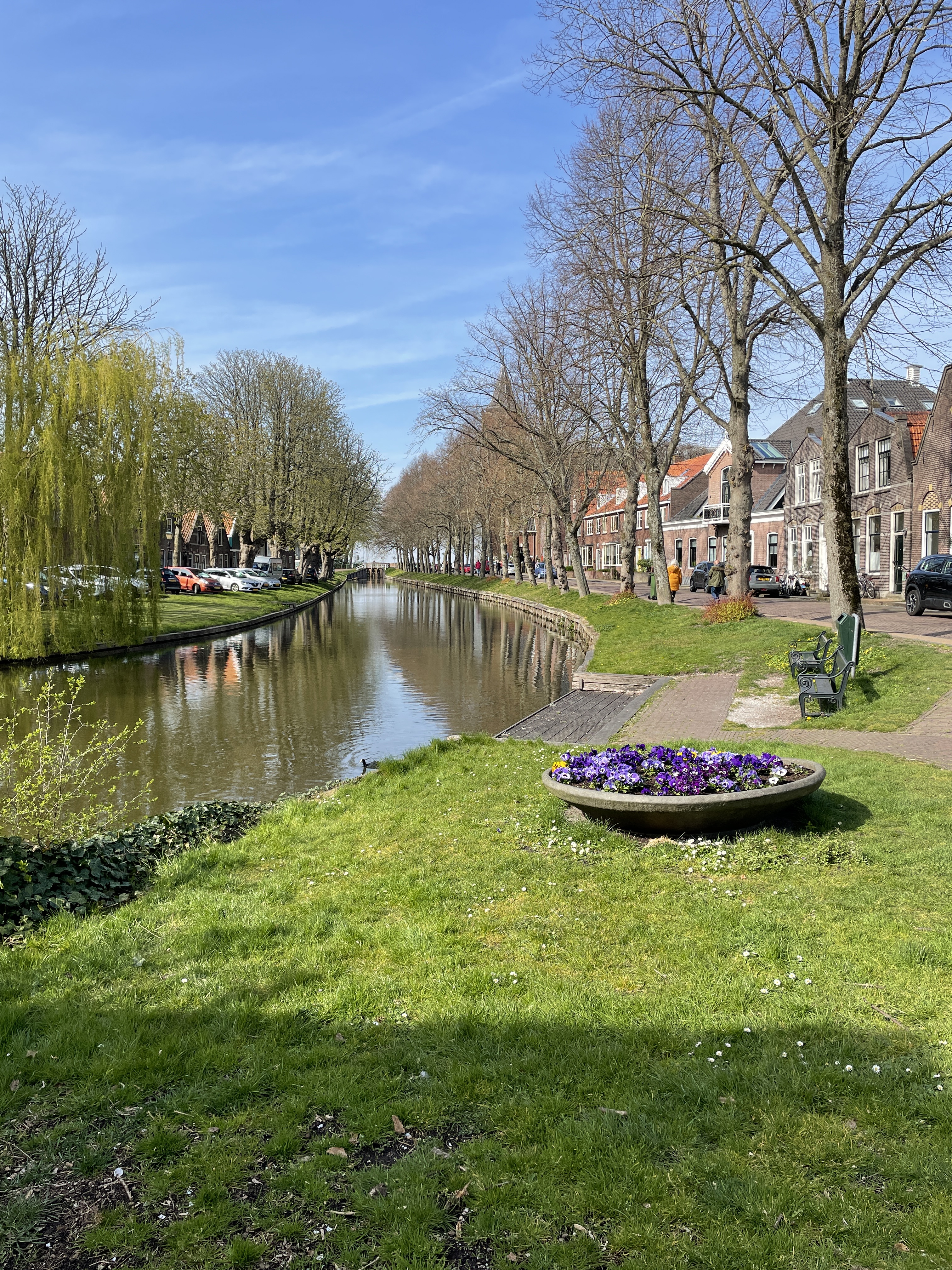
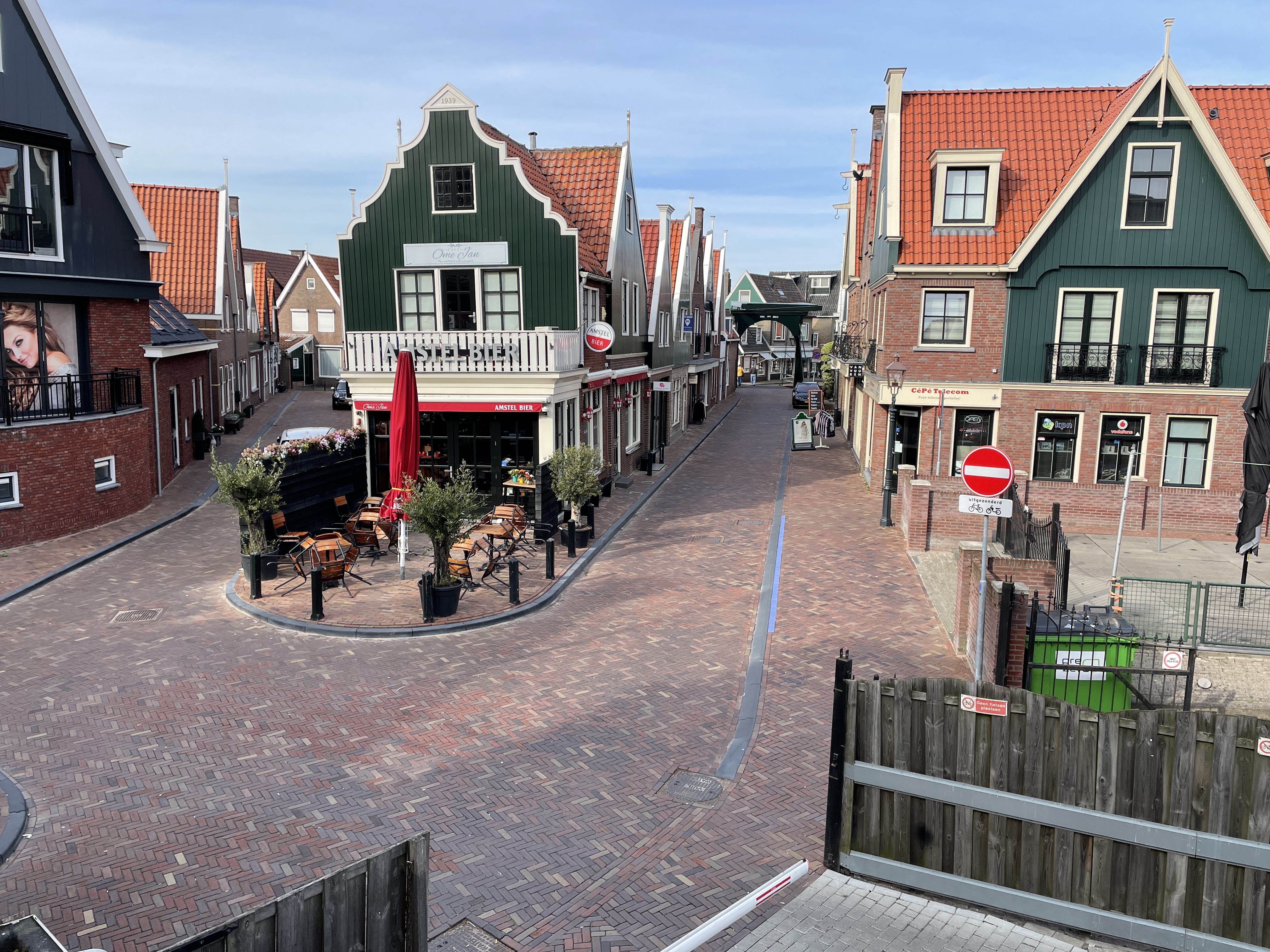
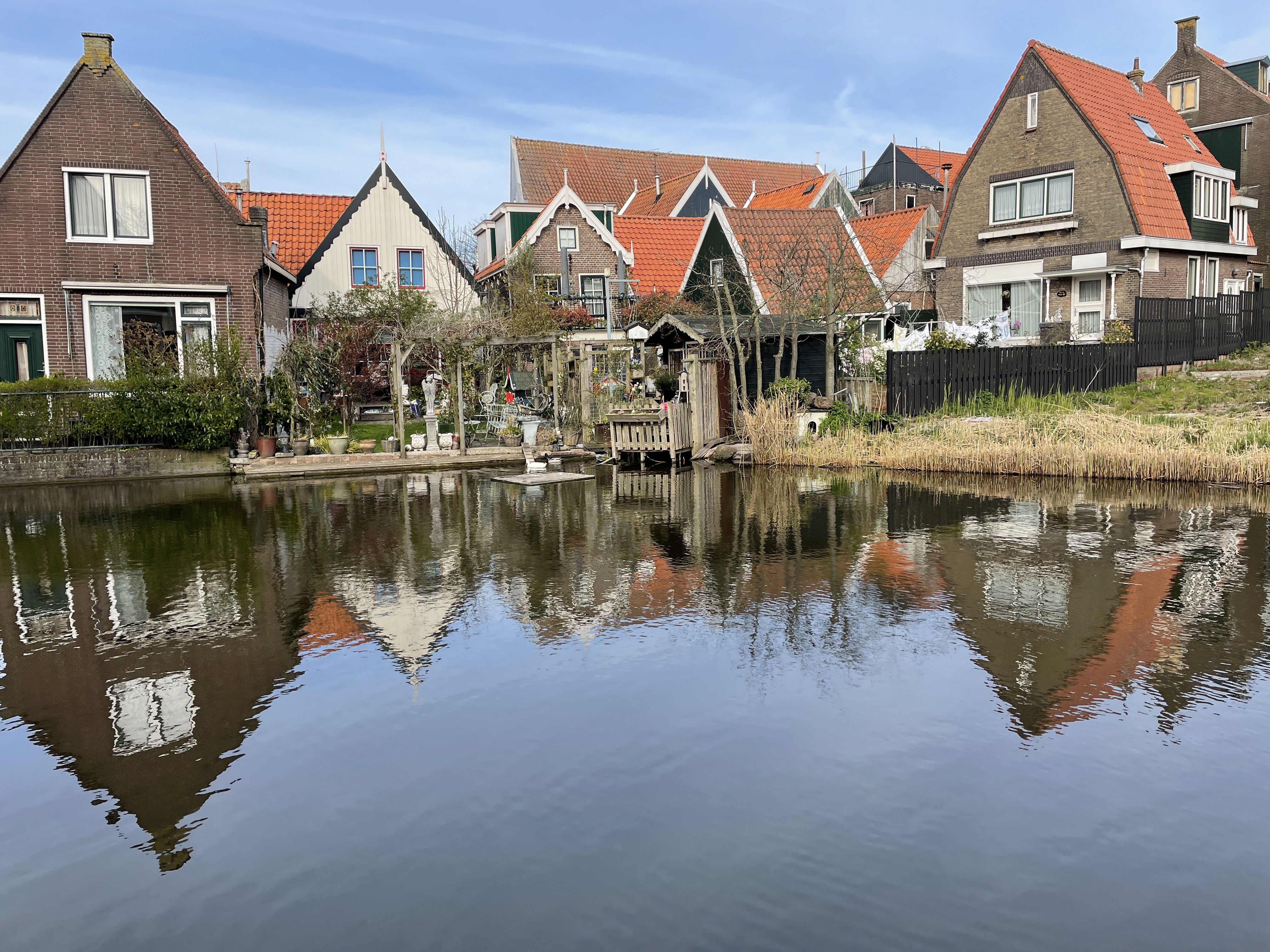
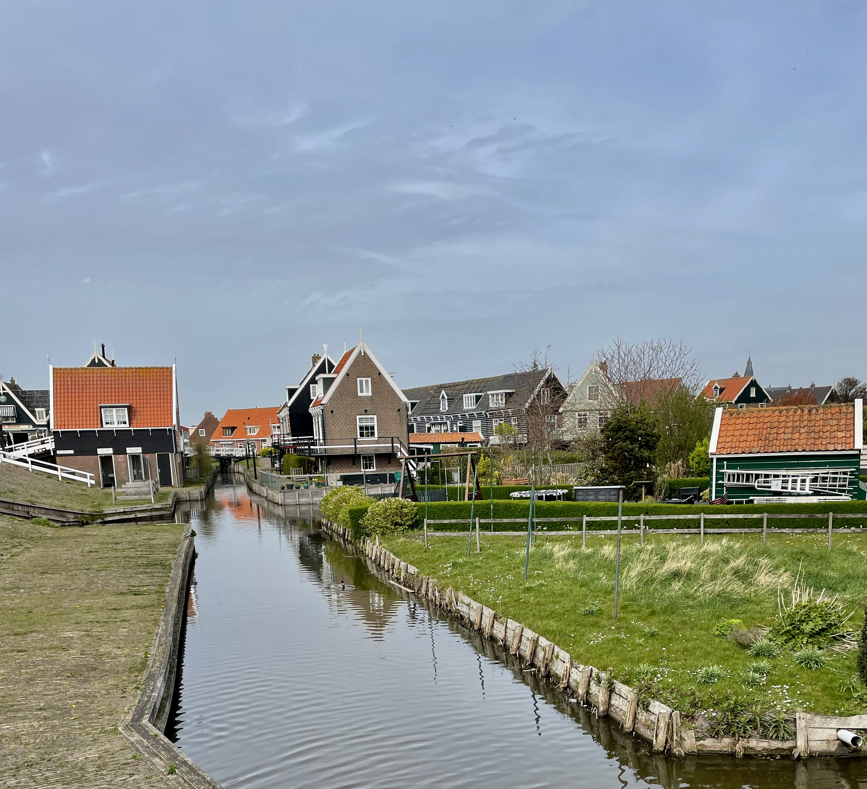
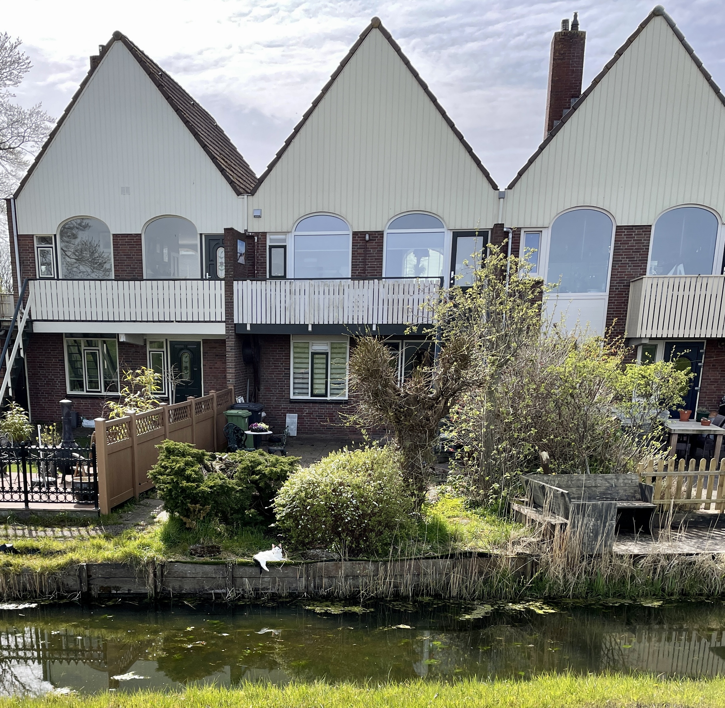
Volendam was our next stop. Yet another beautiful village but this one’s on the sea and the houses are different again. It was COLD by the sea! The afternoon sun had made us feel like peeling a couple of layers of clothes but they were back on once in Volendam. After enjoying dinner inside a restaurant overlooking the sea (crazy Dutch people eat outdoors) we again found a bus heading for Amsterdam. We got off the bus closer to our accommodation so only 27,000 steps today. Hahaha!

Tuesday

So Today’s adventure was fun. Our transit tickets cover Amsterdam region but there’s no map or anything telling you what that is. I guess we’re just supposed to know. So we decided to go to Gouda and Rotterdam. On the train the conductor checked our tickets. That’s new but ok. Sue’s checked ok but mine wouldn’t scan. She said it was likely her machine. Got off the train at Gouda and couldn’t get out of the station. I tried pushing a button near the turnstile that said “information”. I got a recording in Dutch that didn’t sound promising. I called the number on the wall that said “for info call….”.
Out of service. We were beginning to worry we’d have to live in the train station!
We Found a conductor. She said we were out of the area and it’s not allowed on the ticket. Could be 50 euro fine. Since they haven’t had tourists in 2 years such tickets are new to many employees which is why the woman on the train who checked our tickets didn’t catch it. Also. SHE wasn’t even sure what IS covered by the ticket!
So we tried to find a train back to Amsterdam. No luck. Finally asked another conductor who said we’d have to go to Utrecht and on but it’s not allowed on our ticket. So he took us to the train and explained to that conductor who let us on and showed us to the Amsterdam train in Utrecht. We saw a lot of countryside!

So. Back at Amsterdam Central almost 3 hours later we decided to take a bus to Marken. We KNEW that was allowed on our ticket.

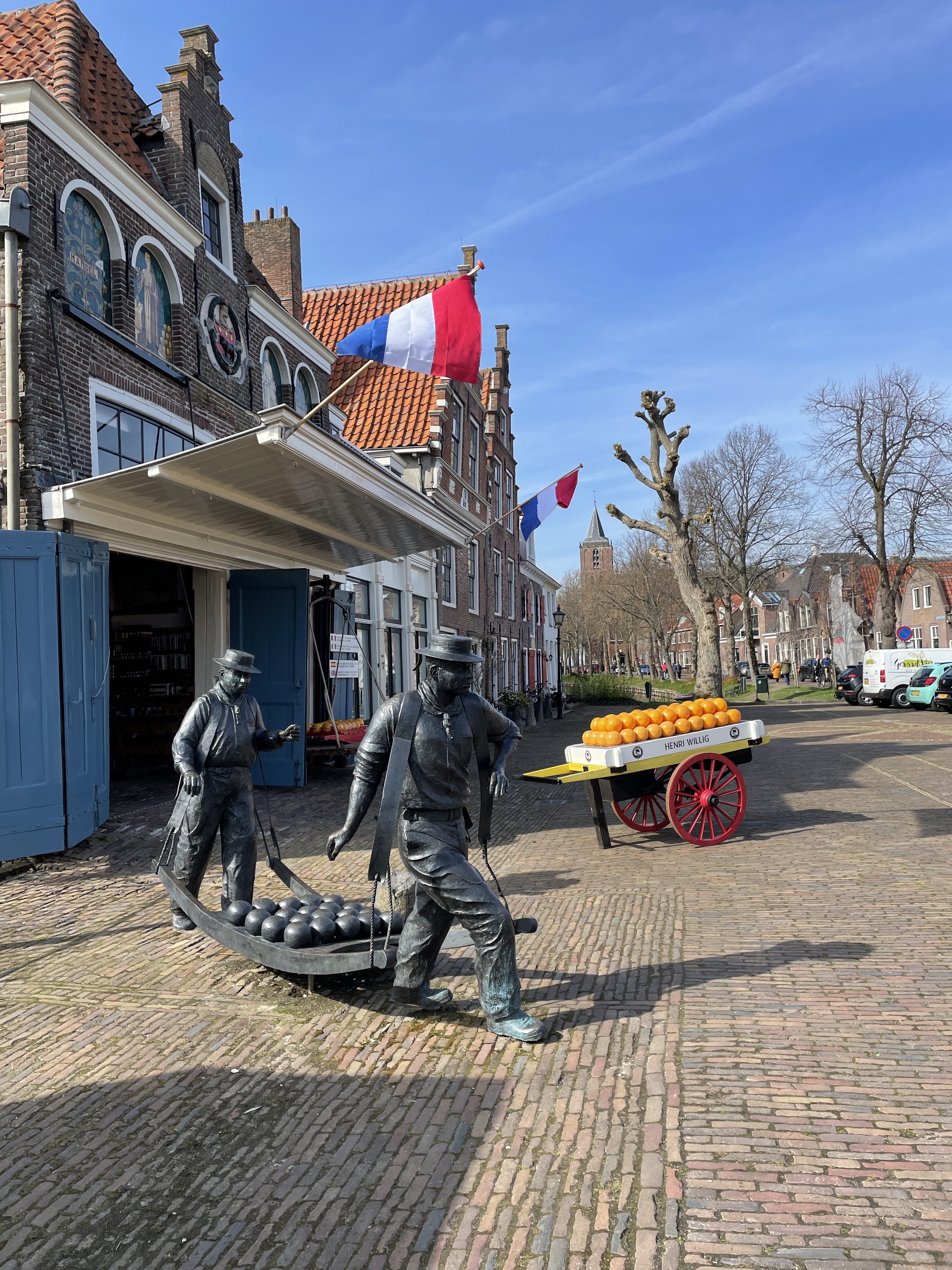
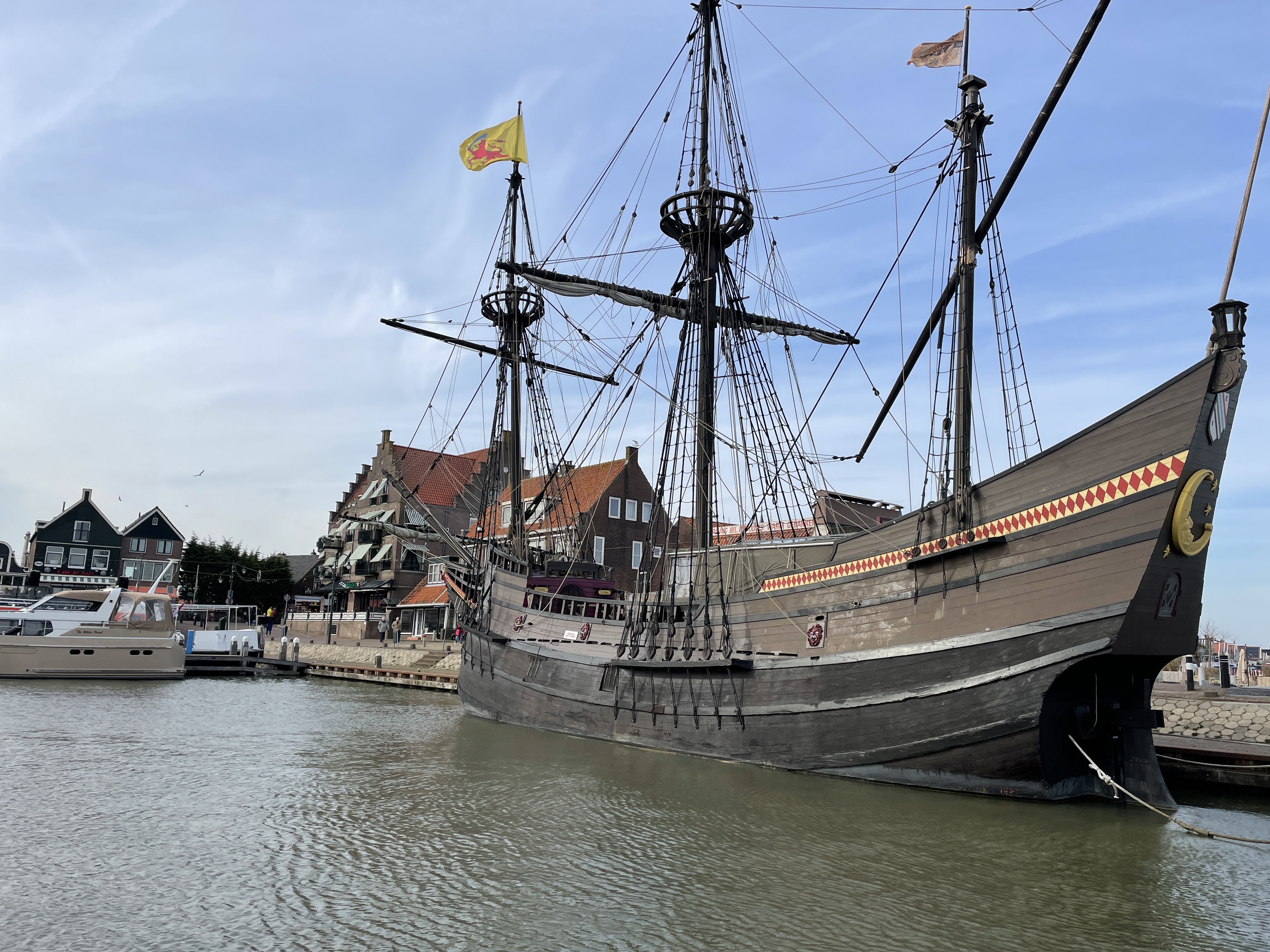
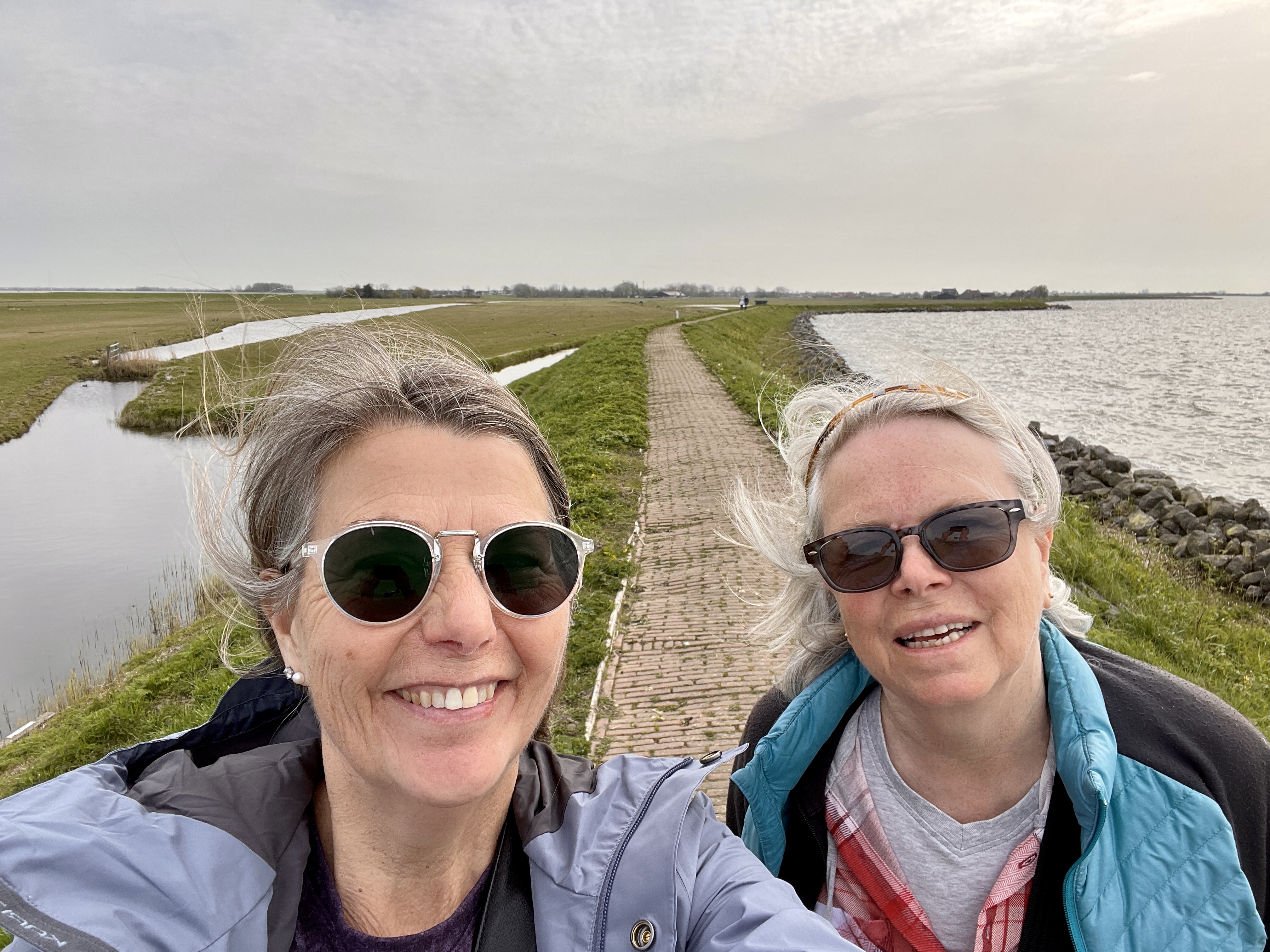
There we wandered the town, enjoyed a nice lunch on the waterfront and went for a good walk on the dike around the island. It’s really no longer an island as it’s connected to the mainland by a causeway

View of Marken from the dike

It’s not our day for transportation. We were the only 2 people on the bus from Marken and the driver spent the whole time on his phone. Not a problem till he ignores all the stops. I pushed the button AND we stood up at the door before our stop. He still breezed by. When Sue hollered at him he said “you should have pushed the button!”
Right. So we had to figure out how to get back from the last stop on the bus. It wasn’t that difficult, just time consuming and annoying.

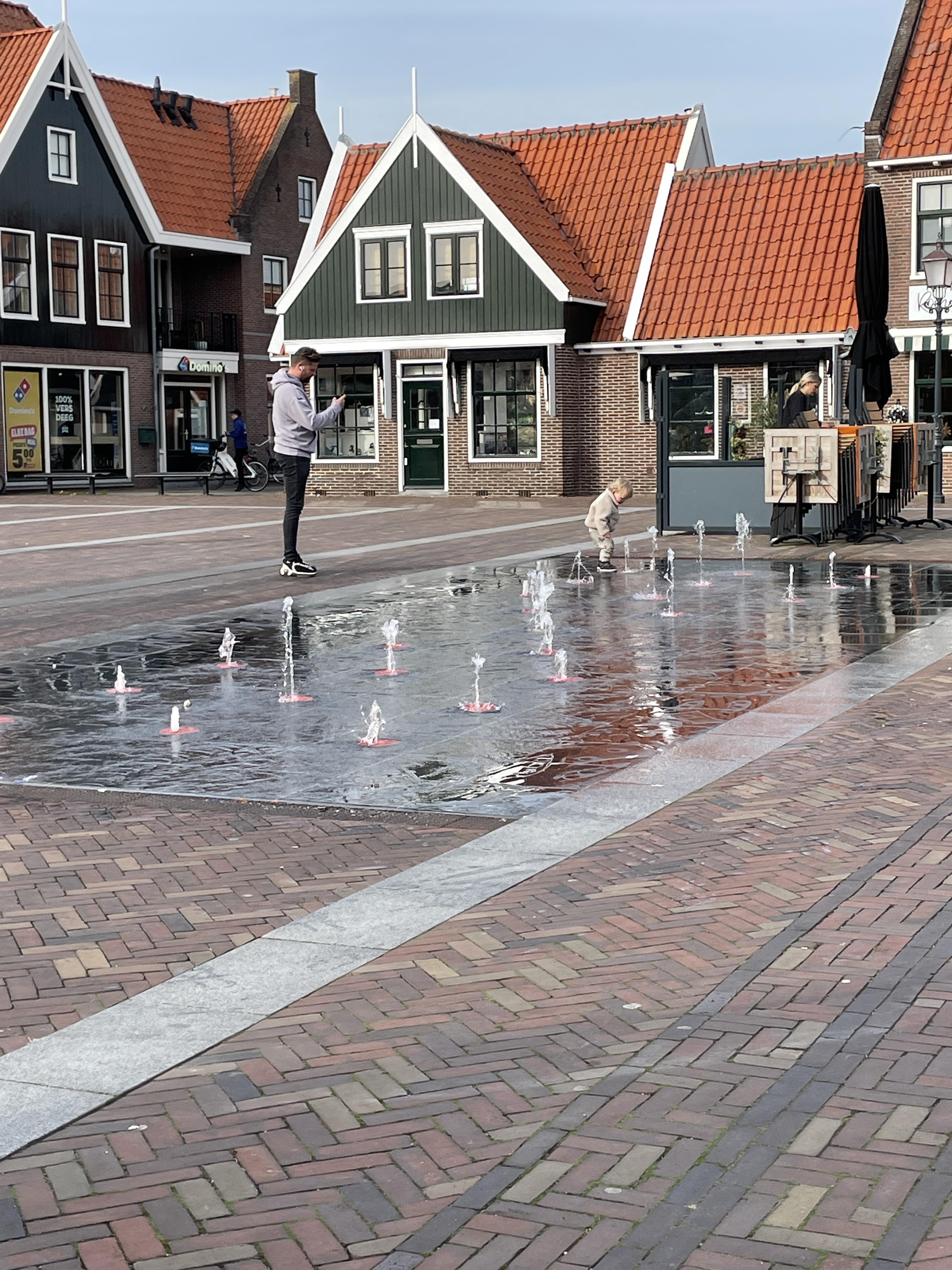
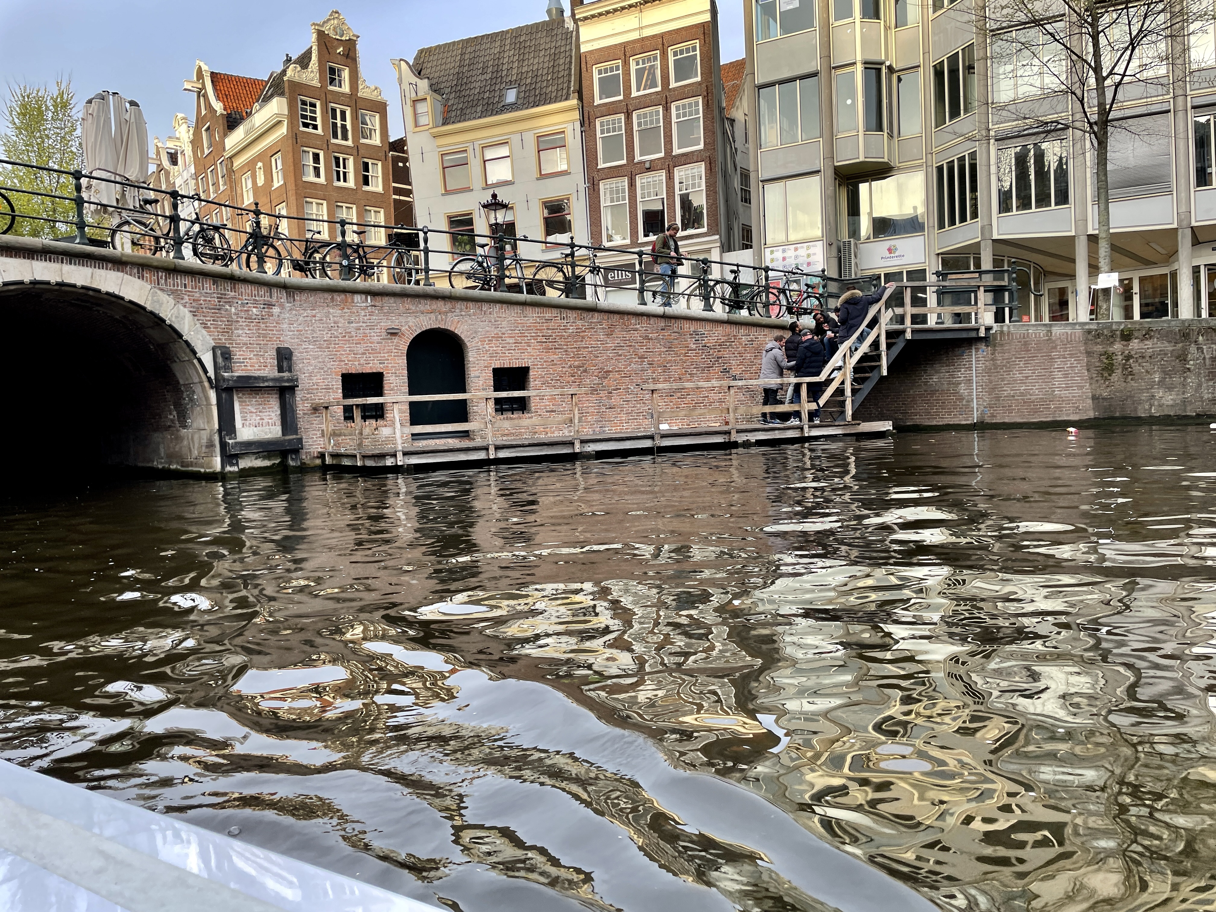
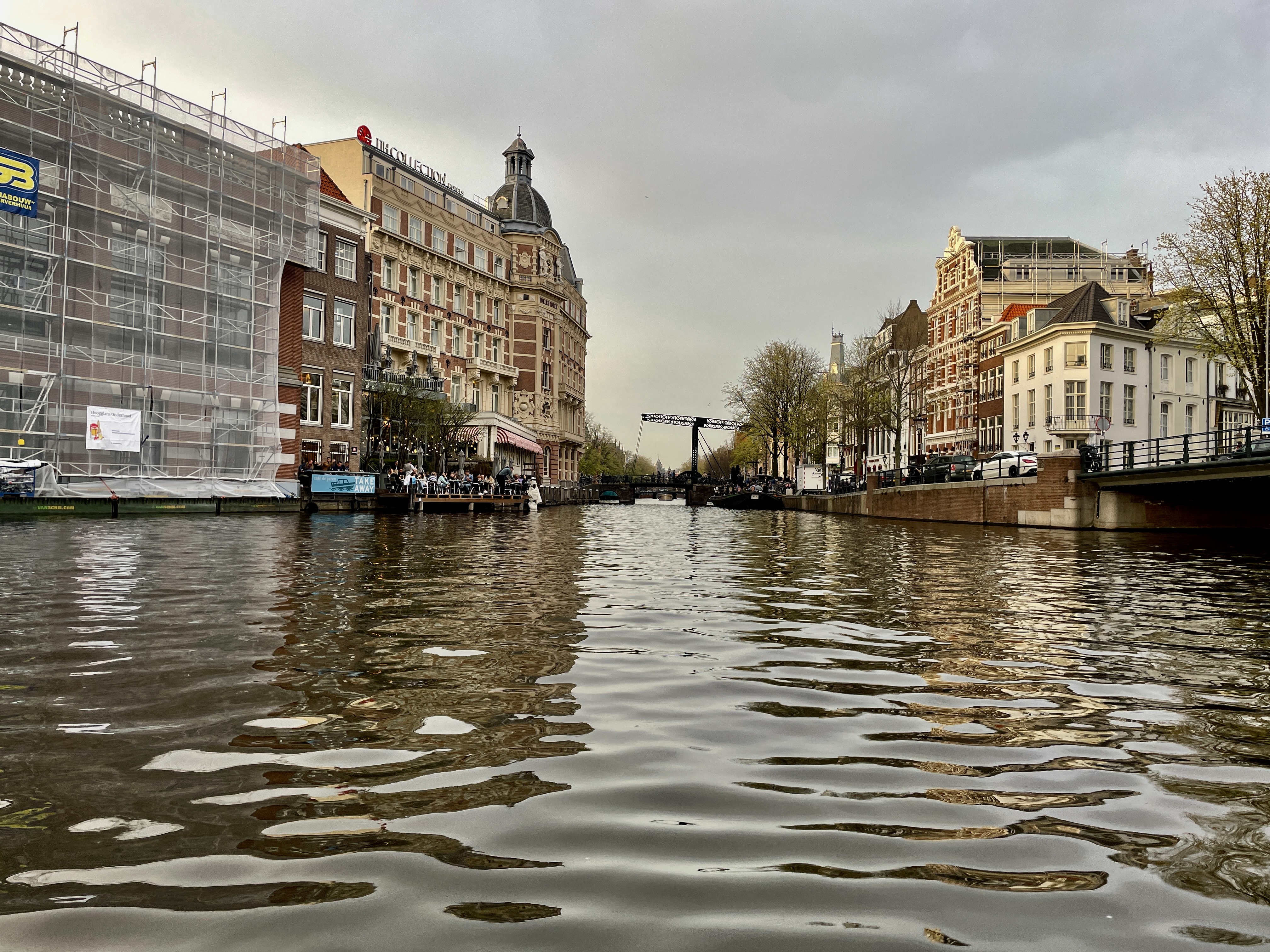
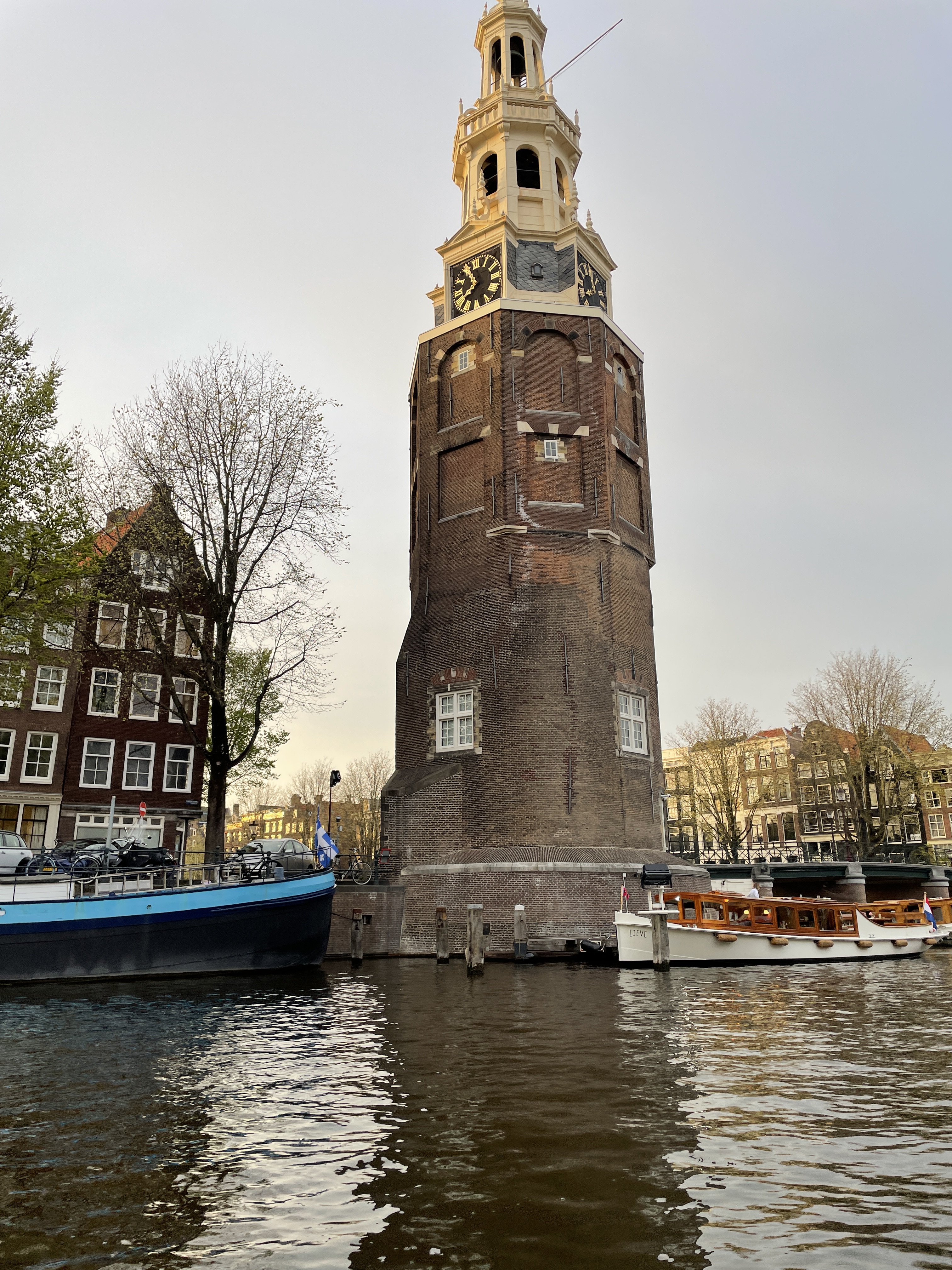
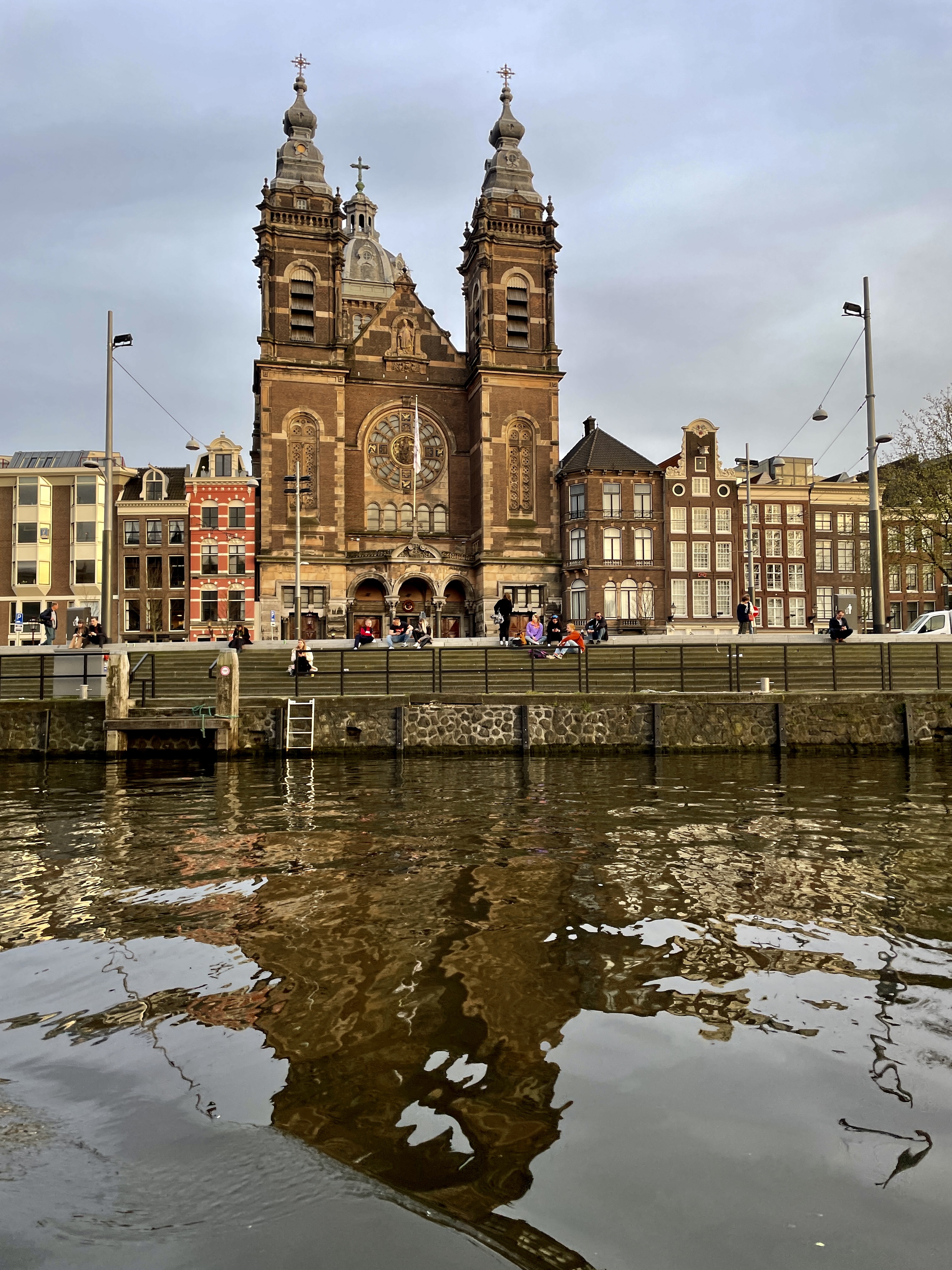
Back in Amsterdam we finished our time here with a canal cruise, a must when in Amsterdam. Our captain was a lot of fun, full of stories and corny jokes. We grabbed a sandwich for dinner and got back around 9 pm. 28,000 steps with more than 3 hours of the day on the train…not bad. lol

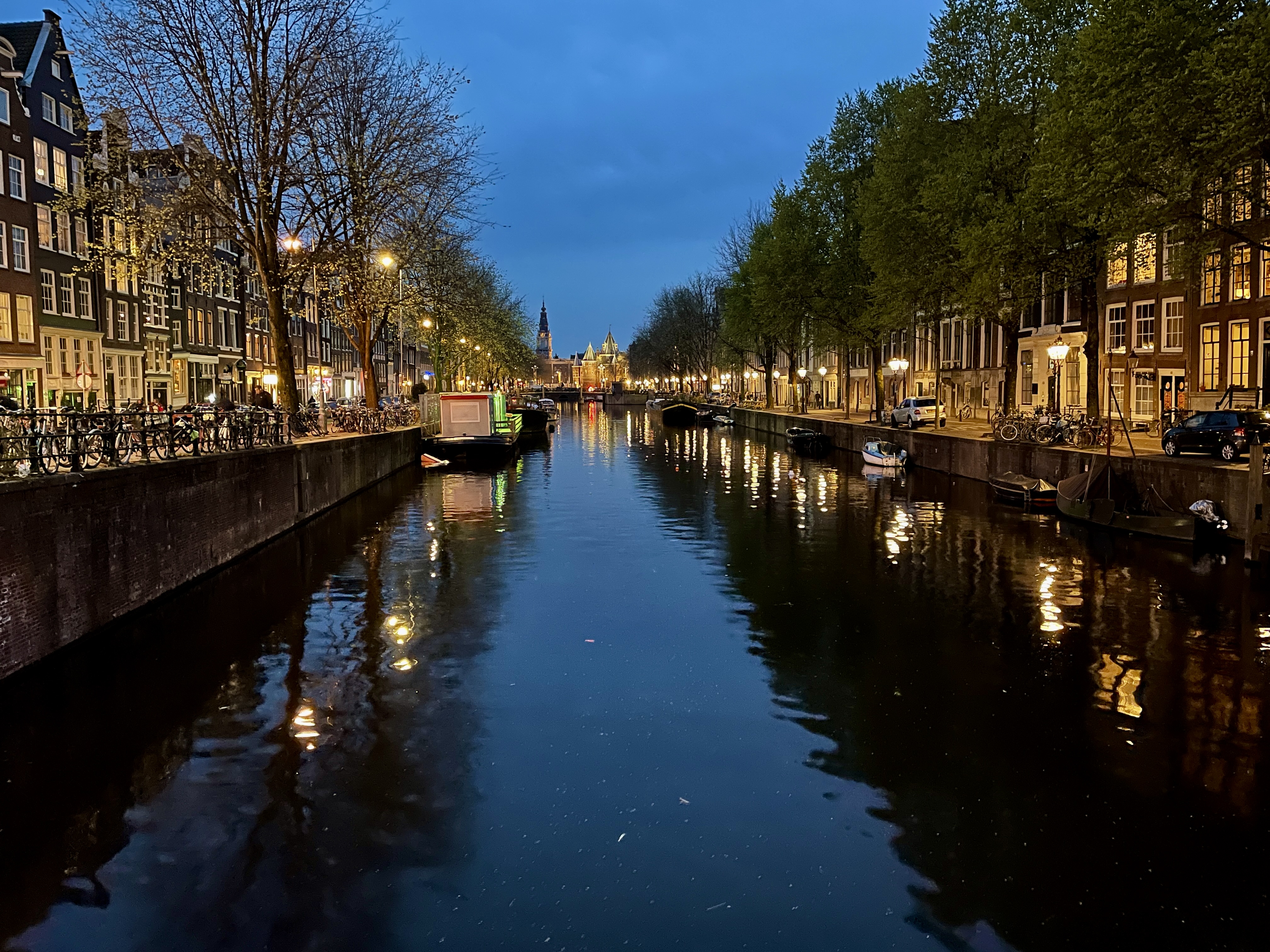
So that’s it for Amsterdam and surrounds this trip. I’ll have to come back to see the rest of the Netherlands another time. Tomorrow we’re moving on to Bremen, Germany

Europe, here we come! It all begins in Bruges, Belgium

Our final route for the next 2 months looked like this!


Wednesday, April 6, 2022. Our flight from Toronto was delayed a bit due to a medical emergency but a tail wind helped our Aer Lingus flight arrive on time in Dublin. Good thing as we didn’t have much of a layover. Just enough time to check documents, a quick walk and bathroom visit and board the next plane. We were surprised a just how easy it all was.
Brussels airport was easily navigated so I bought a phone SIM card. Good signage helped us find the train. There I stood, staring at the ticket machine when a kind young man came and helped us out. He pushed a lot of buttons and said “there, I found you the cheapest ticket”. Thanks! Gotta love the kindness of strangers.
Upon arrival in Bruges, I used the trusty Mapsme app to plot the direction to the Ensor Hotel. Just follow the arrow on the phone LOVE technology. When it works ;). We had about 30 minutes to settle in and then off to find the starting point of our walking tour with Legends of Bruges, Free Historical tour. We’ve learned that the best way to fight jet lag is to keep moving. The tour was excellent and a great introduction to this beautiful city. Bram gave us recommendations for food too so after the tour we went to CAMBRINUS for some authentic, Flemish dinner. It was filling and delicious! The bill reminded us that next time we order beer with dinner rather than water ;). The walk back to the hotel was just enough to revive us so we could stay awake till at least 8 pm.

Thursday
After a wonderful, 10 hour sleep we were ready to face the day with NO jet lag. By the time we finished our leisurely breakfast the rain had stopped and the sun even came out so we headed straight for the Belfort tower, paid the fee and climbed the 350 odd steps to the top. The wind was brutal and we found out later they closed it shortly after we climbed. Lucky for us as the views are spectacular

We wandered for a while and happened upon the Friet Museum. (http://frietmuseum.be.) Yep. It’s a museum dedicated to fries which they claim are Belgian, not French.
Since we got a combination ticket, we also went to the chocolate museum. That was wonderful as we got lots of samples and Belgian chocolate IS amazing!

By this time we were ready to try some beer so went to the Halve Main brewery which is the oldest in Bruges and even has a beer pipeline. Read about that here https://www.atlasobscura.com/places/halve-maan-brewery-beer-pipeline.
Since we had to wait a half hour for the next tour and I needed some food to absorb the beer, it was a good time to try some infamous Belgian fries. We got them with beef gravy on top. Delicious!
The tour was great and included a view from the top of the building along with a beer of our choices at the end. Fresh beer with no preservatives was actually really good and I’m not a beer fan.


By then it was time for dinner and we hadn’t yet sampled waffles so we followed Bram’s recommendation and went to the House of Waffles. He told us to look for waffles made with dough, not batter. Interesting! The waffles were amazing and the owner even sat down to chat.

Back at the hotel we put another layer of clothes on as the wind hadn’t stopped and we were to join a walking tour at 7 pm. That was led by Louis, again of Legends walking tours, and was also very entertaining. The tour ended at St Christopher Hostel where Lois treated us to a beer and we enjoyed nice conversations with folks from Argentina, Germany AND. a fellow Canadian.

By the time we got back after 11 pm (so late for us!) we’d done 23,000 steps. A good day!

Friday
Another cold day but at least the wind had died down. We walked about a bit and ended up at the Church of our Lady Bruges. We paid to see the museum part as it is home to the only MichaelAngelo sculpture outside of Italy. The Madonna is certainly worth it. The whole church is beautiful and there are also interesting graves.

We were cold so it was a good time to try the the Old Chocolate House that had come highly recommended by several people. Rightly so. You can choose the chocolate to make your hot chocolate. They serve it in a chocolate cup and you drop that in your cup of hot milk and whip it with the whisk provided. It is amazingly rich and delicious. Sue had the dark from Ecuador and I had the dark from Papua New Guinea. Oh my. We were just finishing up when a young couple from England we’d met on the walking tour came in. We ended up chatting for an hour or so.

We wandered some more and ended up taking the canal boat cruise which is also well worth it. Our guide was amazing and easily switched between Dutch, French and English, while navigating the boat.

Next we wandered some more, visited the beer wall that boasts over a thousand beers, walked through some residential areas, checked out the 3D glasses thing by the statue of Jon Van Eyck, the windmills and then back into the centre to find D’Lammetje where we feasted on mussels. We were lucky to get there early (5.30 ish) as they were booked from 7 on. I could see why. The service was great and the food amazing.

That’s it for Bruges this time. On to our next adventure in Amsterdam!

Onwards to Tobermory, Flower Pot Island, Lion’s Head, the Grotto and Mono Cliffs…ONTARIO!

If you haven’t been following the journey, we’re 3 “mature” women on a road trip with a very vague plan. The previous post can be found here: The Road trip continues; Manitoulin Island.

The next adventure (stress inducing for me!) was to drive my car on the Chi-Cheemaun ferry that would take us from Manitoulin Island to Tobermory. I needn’t have worried. The staff was amazingly helpful and patient and it was almost ….. EASY!

I’m sure the trip is much more fun when there’s no pandemic. No cafeteria or bar and no socializing with other passengers was disappointing, but the views were really nice and we barely noticed the choppiness. Lake Huron is rarely calm.

Once in Tobermory, we headed directly to the trailer we’d reserved at Trout Mountain Camp. Good thing we had enough food for a make shift dinner as it’s a half hour drive from everything and grocery stores close early. The trailer was nice and clean and had a FURNACE. Definitely a step up from our tent, considering the weather hadn’t improved much. After settling in we went for a walk around the park and just missed seeing a BEAR. Again! Apparently there’s a bear and her cub that have been visiting the camp regularly so we looked for her every day. We saw the resident fox but never did get to the see the bear. Bummer.

September 20-24, 2021
Our search for a restaurant for breakfast was difficult as there’s not much in Lion’s Head. Many restaurants hadn’t opened due to the pandemic. A local told us about Bear Tracks, back on the highway and we headed there. It was excellent and we came out of there fully stuffed and ready to get groceries. We drove around a bit, got the “lay of the land”, considered a few hikes but the rain didn’t stop and again, we’re fair weather hikers so we headed back to the trailer. We enjoyed a lazy afternoon playing cards and just walking around the camp. There were lots of nice folks camping and some great puddles after all the rain.

The next day we had reservations for a glass bottomed boat cruise to Flower Pot Island, home of Fathom Five national marine park. Lucky for us the weather cleared and we enjoyed a great day! Not only was the island beautiful, but the hikes were great too. That was a surprise. Considering how popular and well visited it is, there’s still a good section that’s wild and the trail is technical in spots. The trail to the major attractions like the flower pots, lighthouse, caves etc is easy and well trod but the interior trail is great fun. On the way back we saw a couple of sunken wrecks easily in the incredibly clear water.

Monday we’d booked a 4 hour time slot at the Grotto in Bruce Peninsula National park. Click on this link to book yours.

One day we’ll have to go back when we can spend more time. This pandemic is really annoying. We did the accessible trail (Georgian Bay trail) and connected with the Marr Lake but if I were to do it again I’d skip that one and do the Horse trail, continue along the lake shore and do the Marr Lake trail. Of course if you’ve got all day you can do them all but when time is limited that’s the way to go. Horse Lake is not at all difficult but Marr Lake has several areas that are “technical”. Apparently that’s what you call climbing over rocks and big tree roots as well as up and down steep hills.

After such a good hike we decided we deserved fish tacos in Tobermory. We’d seen a place that claimed to have the best so headed over there. There’s still no dining in allowed so we sat on the patio. It was chilly and while the tacos filled us up, they weren’t that great. It was also more like a burrito, not a taco. So, if you go to the Fish and Chip place in Tobermory, try something else.

Back at Mountain Trout Camp we enjoyed the sunset and walked around some more, looking for the bear. Nope. She was elusive.

The next morning we packed up, looked for the bear once more and headed to Lion’s Head to hike that portion of the Bruce trail. Again, we’d booked a 4 hour time slot at the parking lot. Lion’s Head is another trail that needs more than 4 hours. It was “technical” in spots and the trail was sometimes hard to follow. It’s well marked but the trail isn’t obvious as there’s so much rock. We missed the lookout and went a little further on the trail which turned out to be a good thing as there are a few beautiful views further on.

“technical” part of the trail

September 24 – 26

After enjoying another delicious meal at the Bear Tracks, we headed to Wiarton. We checked in at Wiarton Willy’s. Yes, we absolutely chose it for the name. When in Wiarton …. haha! It turned out to be a nice, comfortable motel, just outside of town and walking distance to Tim Horton’s.

Open restaurants that you can dine in are hard to come by in this area but we happened upon the Hungry Hangar, at the Wiarton airport and it was really good, plus being on the way to a hike we wanted to do. Bruce Caves conservation area did not disappoint. First we checked out the caves then started on the Bruce trail towards Skinner’s Bluff. What I’d read said it was 3 or 4 km one way. We’d been walking a while when we met another couple who told us it was more like 10. That was a little much considering we’d have to walk back too so we headed back. The hike was gorgeous with amazing views and fascinating geology.

We still wanted to see Skinner’s bluff so decided to drive there. Should you do this, don’t depend on GPS as it won’t get you anywhere near it. This website gives you directions. Follow them.. You’ll feel like it’s not right as it seems to lead you on an unmaintained road but it’s right. You’re welcome.

Next we headed to Spirit Rock Conservation area. We managed to get lost in there as well even though it too is well marked. Oh well. We earned our dinner as we put about 25,000 steps in.

You don’t go to Wiarton without visiting Willie so we headed drove downtown to the waterfront. Dinner first though as the restaurant closed at 7 and we NEEDED dinner. Dockside Willies turned out to be a great choice. The food was excellent, plentiful and the service great!

The next morning we packed up to go home with a stop at Mono Cliff’s provincial park. This time we could book a parking spot for the whole day, which made it easier to plan our visit.

By the time we got to Markdale we were starving and were ready to make due with Tim Hortons when we stumbled upon Kim’s Place. The food was really good, we got lots and the service was very friendly.

Fueled up and ready to hike, we spent a few hours covering most of the trails at Mono Cliffs. That concluded our road trip for this time. The 2 weeks had become closer to 3 but we covered a lot of ground and spent time at many parks. Ontario sure is blessed with a LOT of beautiful parks! Another road trip may be in order. This one just whetted my appetite for more!!

← Back

Thank you for your response. ✨

Please rate our website(required)

The road trip continues to Manitoulin Island, the largest fresh water island in the world. Ontario!

We left a week ago with a very vague agenda and a goal to find as many good hikes as we could. Our hope was to visit many provincial and national parks as well. There are WAY too many in Ontario to see them all!

The beginning of the trip can be found here: Ontario! 3 women and a car looking for great hikes. Restoule & Grundy NP, Sudbury and AY Jackson conservation area

With a dismal weather forecast, we wimped out of camping and found an airbnb. The Bridgeway in Little Current was a great choice as the kitchenette meant we could still make our own food rather than count on restaurants. Before stocking the fridge we tried a local restaurant, Elliots. It was a fantastic choice! If you go to Little Current. Go to Elliots for sure!

September 20, 2021

With not much daylight left, we headed to Kagalong to check out the town and Bridal Veil falls. Being Monday, just about everything was closed but it was nice to walk around the town and do the easy hike near the falls.

After contemplating life over plenty of coffee and breakfast, we decided it was a good day to explore the island by car. We’re also fair weather hikers. Thankfully there were a few breaks in the rain so we could find a couple of nice walks.

The next day was still miserable but we decided it was now or never and set off to hike the infamous Cup and Saucer trail. The benefit to icky weather is fewer people on a popular trail. It’s a tough one in that there are lots of rocks to climb but another benefit is not much mud to wade through, Turned out we managed to get to the top with no rain. We started the long, forest section but the weather looked ominous so we headed back down. We still managed to get in a good 6 or 7 km.

The weather cleared again so we decided to try the M’Chigeeng trail. It was a little tricky to find as it’s behind a ball field and technically closed. The sign said use at your own risk so that was open enough for us. The trail is wide enough for a vehicle but pretty rocky and treacherous, plus it’s straight uphill. At the top we kept going in spite of all the signs pointing in the other direction. At the end it was worth it for a another spectacular view, this one of M’Chigeeng and area.

The next day we headed to Misery Bay. It was another miserable rainy day so it seemed appropriate. On the way we stopped at Kagalong to see if the Bridal Veil falls had changed with all the rain. The pool at the bottom was a bit bigger and there was a giant fish in it. It had nowhere to go so I wonder if it can survive?

Misery Bay Provincial park is at the end of a long, dirt road. As so many other things during the pandemic, everything was closed so not even bathroom access. After studying the map (thankfully posted outside the building) we enjoyed a really nice hike, an easy one for a change and a total of about 9 km. A good part of the trail is along the water front, Misery Bay in Lake Huron.

Poor little tree
All of this rock was etched by retreating glaciers!
More strange rock formations
Natural boat launch?

A couple we met on the hike in Misery Bay recommended we stop in Gore Bay. The lookout was as lovely as they said and, on a nicer day, the picnic area would be a great place to have a meal.

We checked out the town while we were there and stumbled upon a chocolate shop. If you’re in the area, GO! Finnia’s Chocolate and Cacao. The young lady took the time to explain the process and differences in the various chocolate and was obviously passionate about her craft. We had the BEST fudgesicles I’ve ever had and the chocolate is amazing. I recommend the Honduran 😉

Finnia chocolates is right down by that pier

Our time on Manitoulin had come to an end and so on to the next adventure. For me, that was driving my car onto the ferry. This trip was pushing my boundaries. Yes, I’ve traveled extensively but this is the furthest I’ve ever driven and I’ve certainly never driven onto a ferry boat. EEK!

Stay tuned for the rest of the story 😉

Ontario! 3 women and a car looking for great hikes. Restoule & Grundy NP, Sudbury and AY Jackson conservation area.

September 13, 2021

I’ve always wanted to travel without a plan. You know. Be spontaneous and fly by the “seat of my pants”. But I’m a planner and while the idea sounds fun I’m afraid of missing something by not doing lots of research and exploring all my options. Why not try it in my own backyard?

So now is the time. Sue, Anita and I told our families we’d be gone a couple of weeks, packed up the car with a tent, basic camping gear, my coffee pot (a must have for all the coffee addicts out there) and enough food for several days and headed North West. I’d booked 3 nights at Restoule Provincial park to start but nothing was booked after that. EEK!

Our site in the Putt’s campground was lovely and right on the beach. It was wonderful to enjoy morning coffee while watching the mist burn off the lake.

I think we managed to conquer all the best trails in the park. The fire tower was our favourite. It’s only just over 4 km but has a good hill and fantastic lookout. We climbed the rocks up and back down and later realized there was an easier trail. Oh well. Pushing your boundaries and getting out of that comfort zone is good!

Gibb’s trail was a little confusing. We met some folks who couldn’t find the end but we managed to do the whole thing. It was a bit muddy in spots but a nice trail.

September 15

The disadvantage with being spontaneous is taking the risk that there’s no campsite availability. I called and managed to book a site in Grundy Provincial park but we’d have to move for the last night. Annoying for sure when you’re in a tent. Upon arrival we asked if there was a cancellation and, as luck would have it, there was! We ended up with a beautiful waterfront site on Gurd Lake in the Poplar campground so again got to enjoy our coffee with a view. Maybe spontaneous is okay?

While the hikes at Grundy were really nice, this park is definitely a canoe or kayaker’s paradise. There are so many lakes and rivers to explore. Most appeared reasonably calm too. It also got noisy on the Friday night. I’d stick to weekdays if you like quiet evenings.

Swan Lake trail
Gut Lake trail
Gut Lake Trail
Huge rocks everywhere
Anita’s face when I suggested she was climbing into a cave that would be a perfect home for a bear
Sunset from our campsite

September 18

Since there were no sites available at Kilarney, hiking the Crack was off the table so we headed for Sudbury. I’d always wanted to visit Science North. We looked forward to resting the tent for a couple of nights and sleeping in a real bed.

Everything these days needs to be pre-booked, including tickets for Science North so we had prearranged to go Sunday. During a pandemic such things can NOT be done spontaneously. Upon approach a woman asked us if we were planning on walking the trail. No, we didn’t know there was one. Well. She spotted a bear there a few minutes ago so we were to beware. Cool! We’ve been wanting to see a bear since we arrived. Of course while camping we kept our food locked up as required but still hoped to see one . . . . from a distance. So we, and a few other people we met, walked the trail. No bear. Bummer. To the museum we went.

After thoroughly enjoying our visit and having learned a LOT, we walked back to our room and prepared to join a Sudbury native friend on a hike in Laurentian conservation area. Another thoroughly enjoyable hike! Sudbury is actually a really nice city and the area has blossomed (literally!) in the last 50 years.

We’d made reservations for Chutes Provincial park but the weather forecast was abysmal. Storms were predicted to come through and dump a ton of rain over the next few days. Since we’re fair weather campers we decided to skip it and head straight to Manitoulin Island. As recommended by Jocelyn, our Sudbury friend, we stopped on the way at the AY Jackson conservation area. Another great hike with a beautiful waterfall as a bonus.

So that’s it for part one

Next we’re on to Manitoulin Island. Part two will follow in the next post. Thanks for following!

Venturing further in my back yard. Chasing waterfalls on the Bruce Trail

Our previous hike can be found here: Finding new sights in my own backyard. The Ganaraska Trail! Maybe I can walk to the Bruce Trail?

When we noted the weather forecast looked gorgeous for the next week, Anita and I decided it was time to travel a bit further from home.  I’d long been wanting to visit the Blue Mountain area and now was our chance so we booked a lovely bed and breakfast in Markdale and started planning.  Packing is so much easier when your one bag has to fit in the over head bin of an airplane.

Google maps said we could get there in about 3 hours but we had time and took the back roads.  It was a lovely drive through areas of Ontario we’d never been.  Mark greeted us upon arrival at Markdale manor and showed us around his gorgeous, historical home.  We dropped our bags and headed out to walk the railroad trail he’d told us about.  Watching the time so we got back before dark, we turned around and went back to town and Steven’s restaurant, another recommendation from Mark.  Good choice!  After a wonderful meal of souvlaki, we enjoyed a tea in the sun room of Markdale manor before an evening of relaxing in our large and comfortable room.

Beautiful sunroom in Markdale Manor

Donwtown Markdale

Along the railway trail

Someone’s got a sense of humour on the rail trail

Thursday

Mark provided us with a very substantial breakfast so we had lots of hiking to do to wear it off.  We drove the 15 minutes to the parking area for the Eugenia Falls conservation area. There was one car there and it appeared to be a woman walking her dog. After studying the maps we headed off.  The trail is marked as moderate and actually IS, it was muddy and slippery in places and there were many hills.   It made for slow progress but that was fine.  We had all day and enjoyed the beauty of the Beaver Valley area.  For the most part we saw very few people.  At Hogg’s falls there were several, all being careful to maintain a social distance.  We spent quite a while taking pictures and enjoying the area around the falls before heading off again on what we thought was the “loop” and a total of 12.6 km

We were wrong.  Apparently we were on the 22 km trail.  Oops.  That’s not what we signed up for.  The last couple of hills just about killed us and we were never so glad to see Anita’s van, just as it was getting dark.

We seriously earned dinner and knew the food at Steven’s was good so, after finally getting to use the bathroom and cleaning up a bit, we walked there for dinner.  We weren’t disappointed

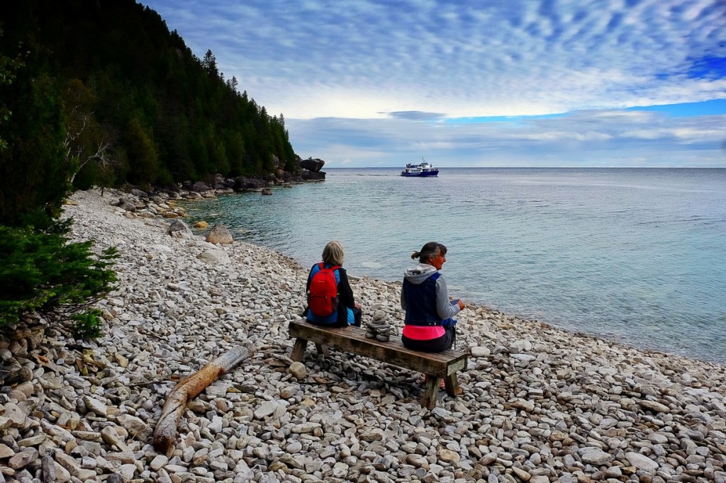
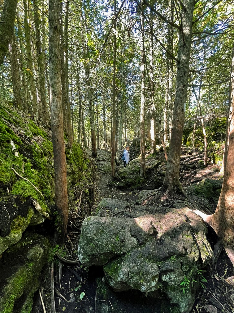
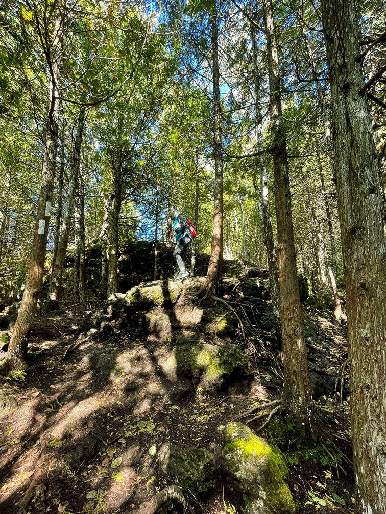
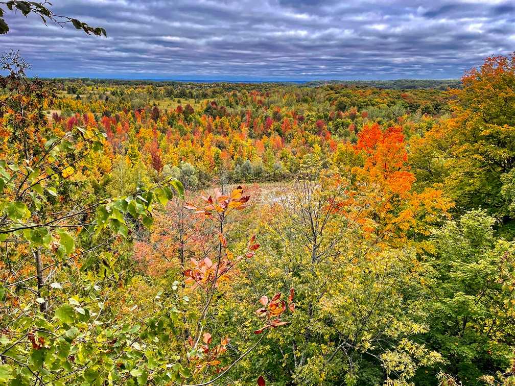
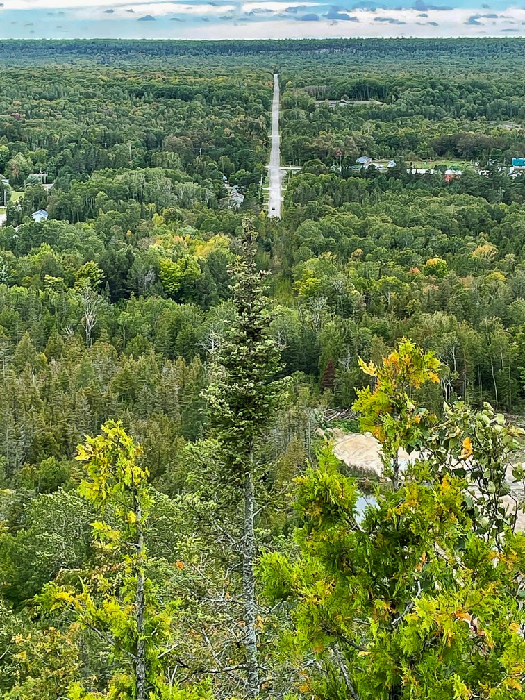
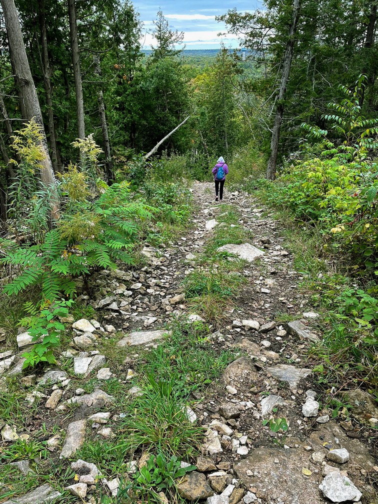
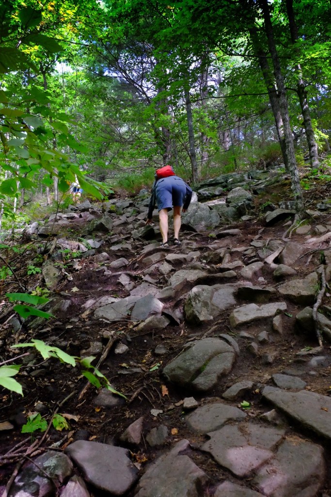
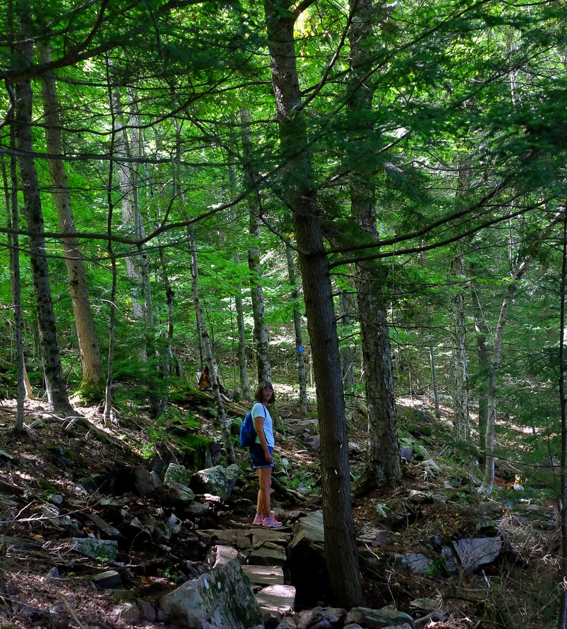
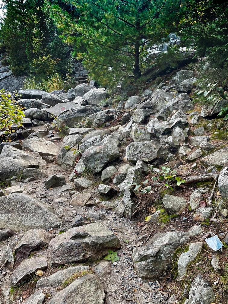
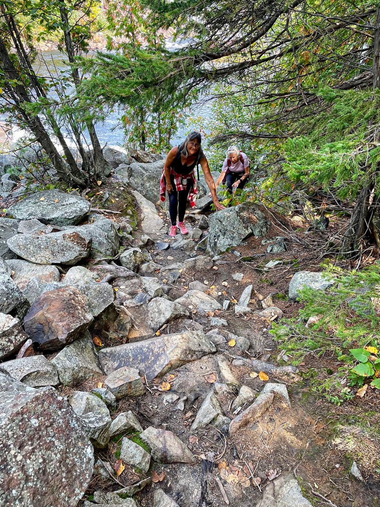
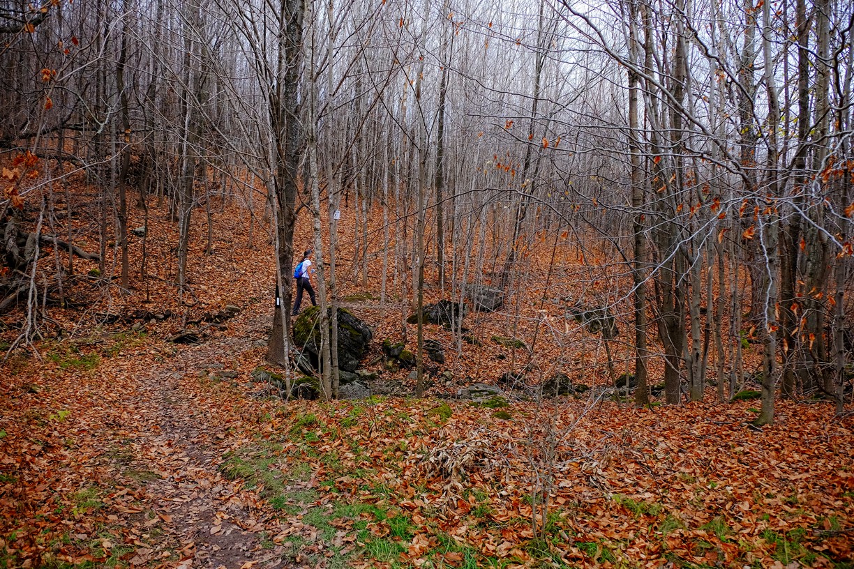
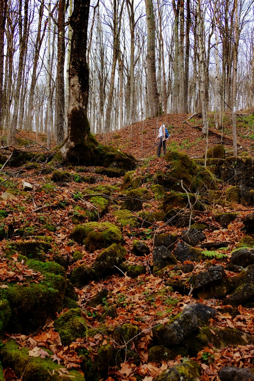
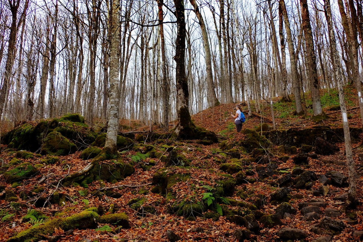
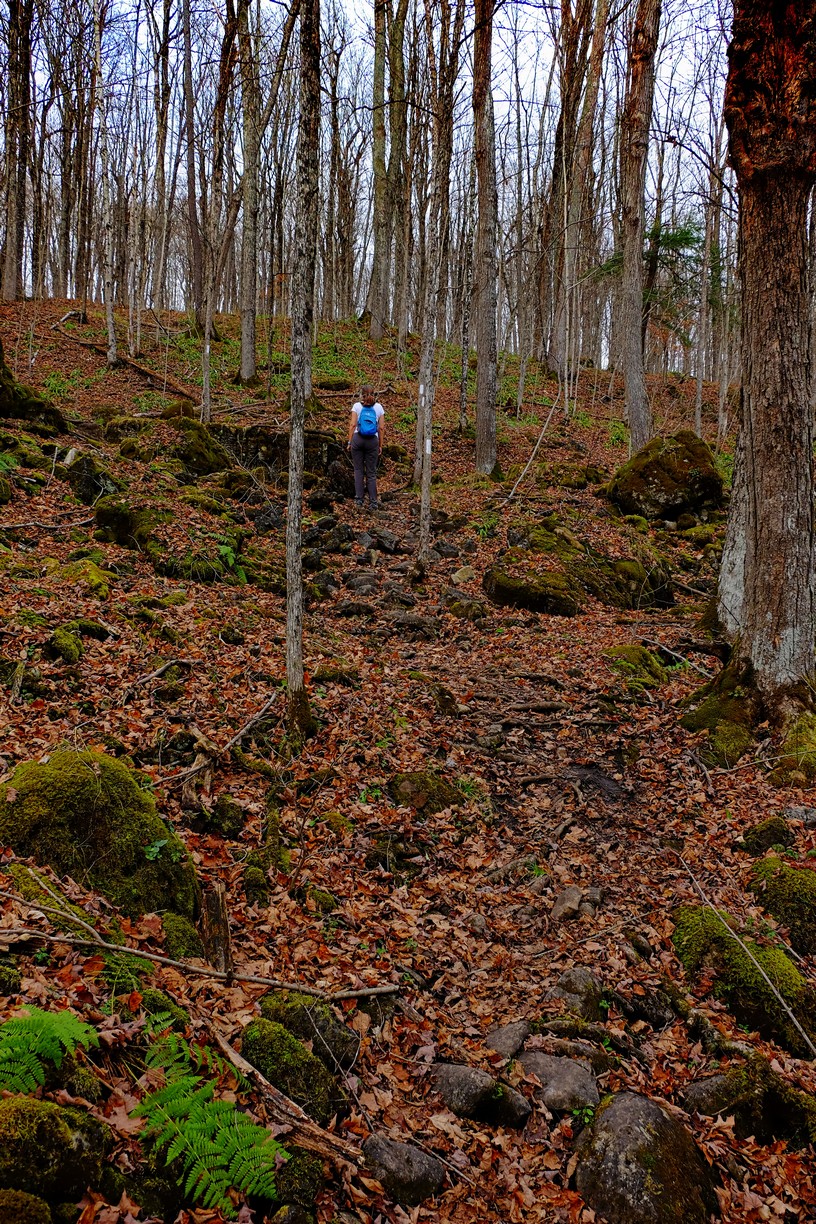
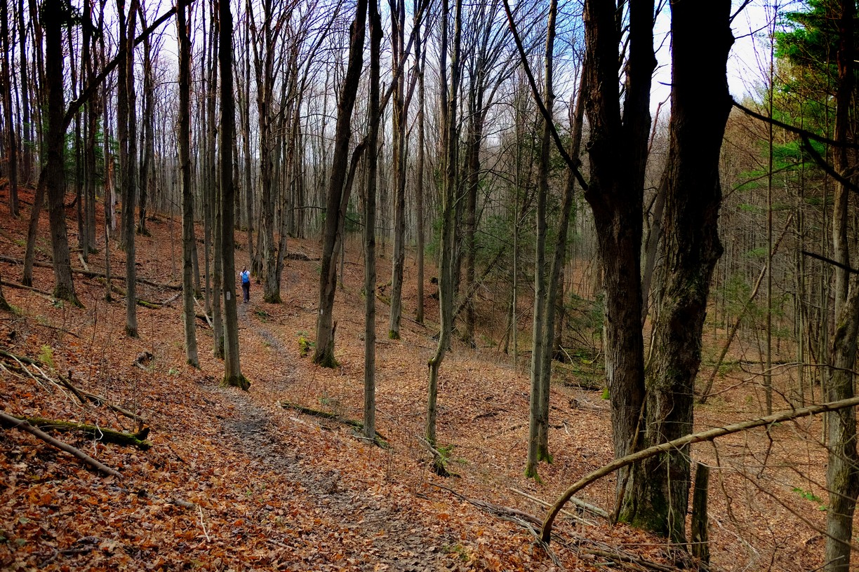
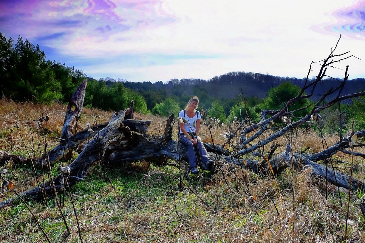
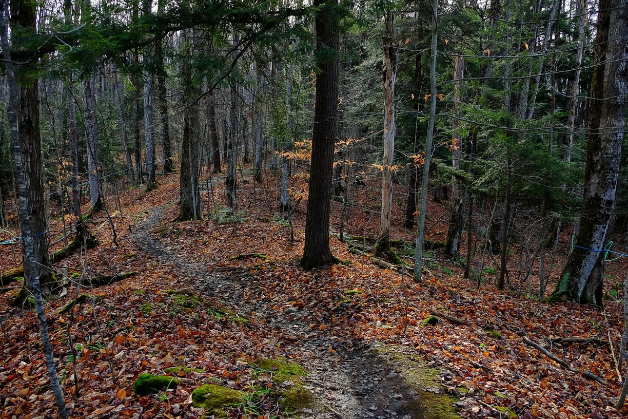
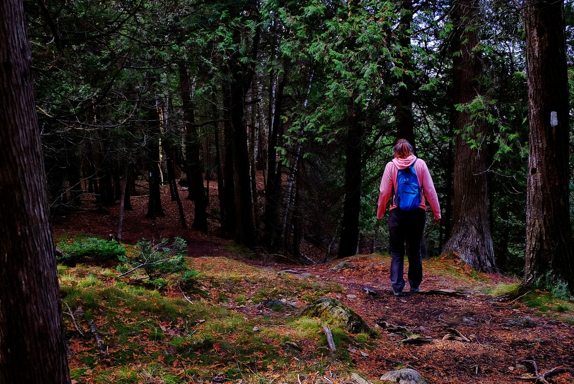
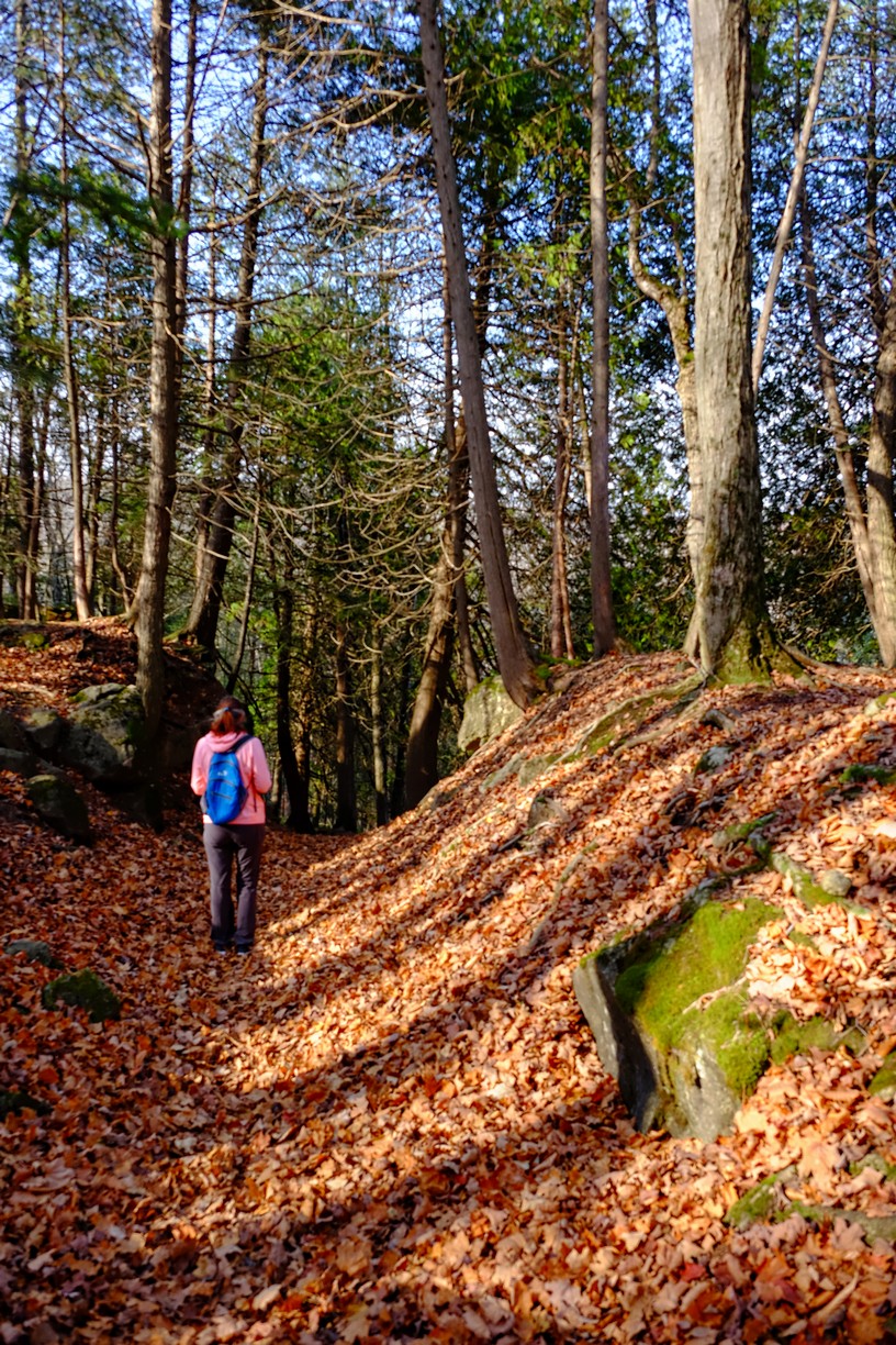
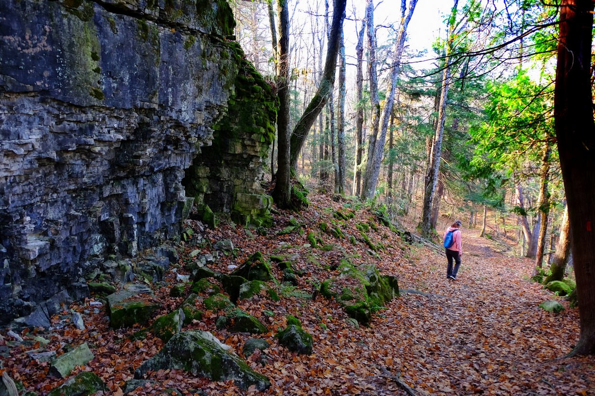
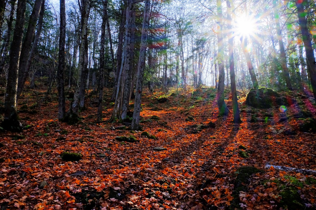
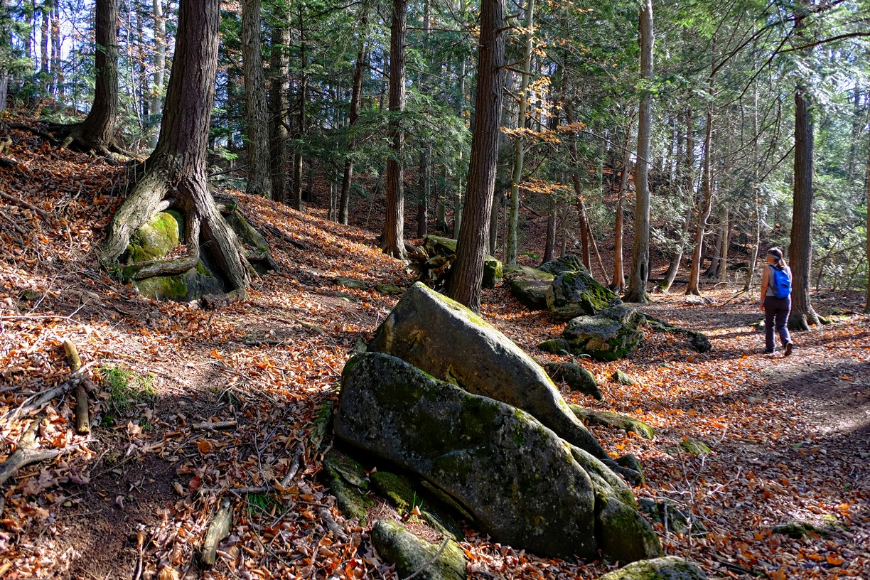
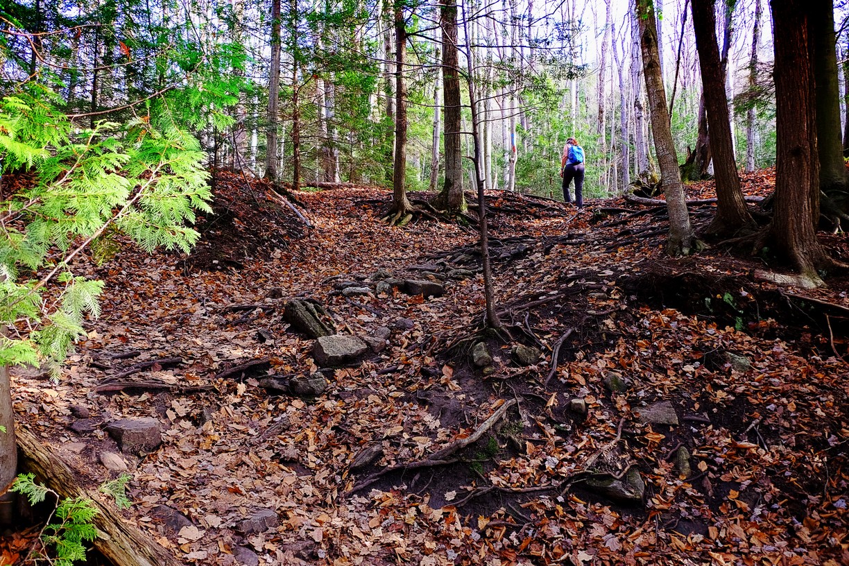
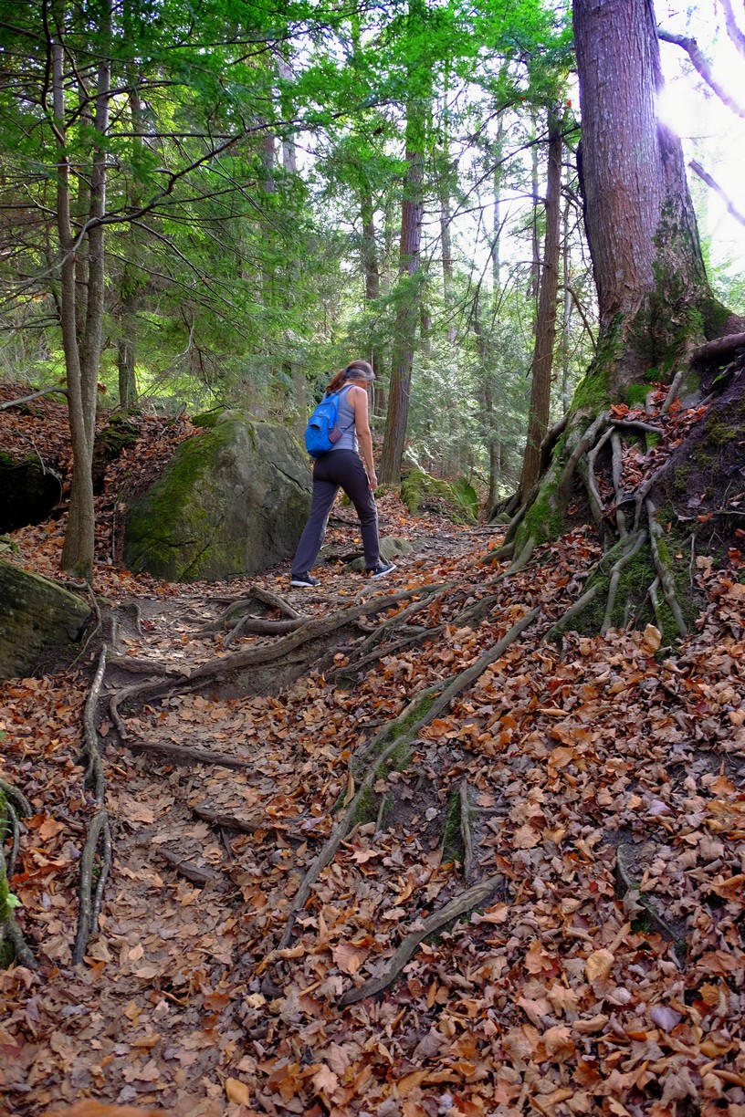
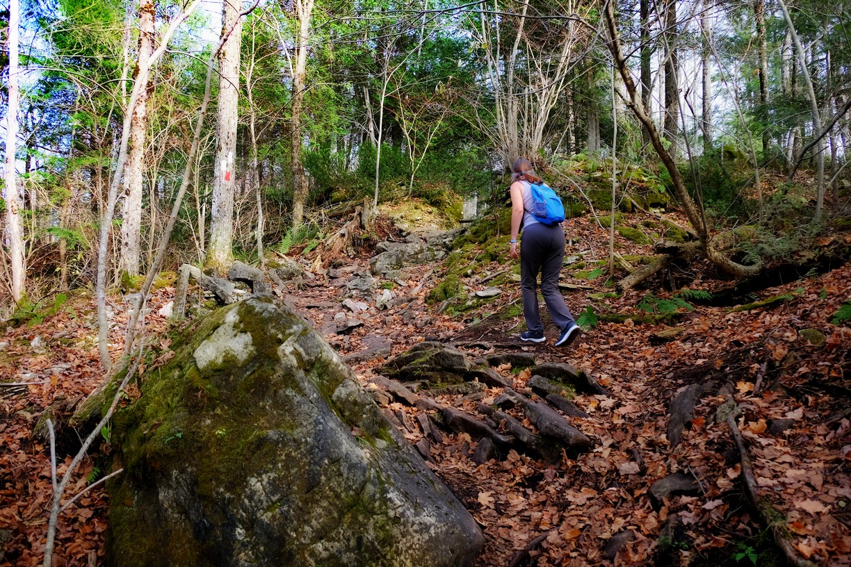
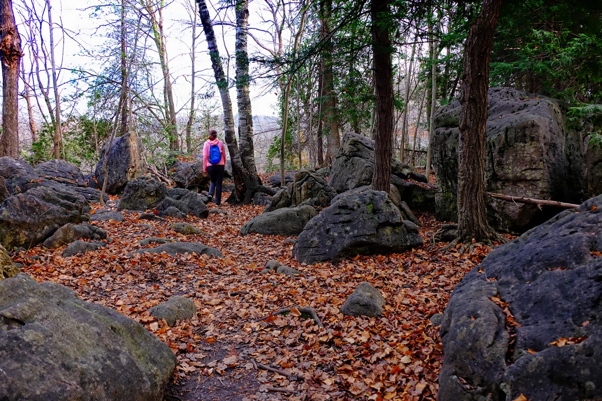
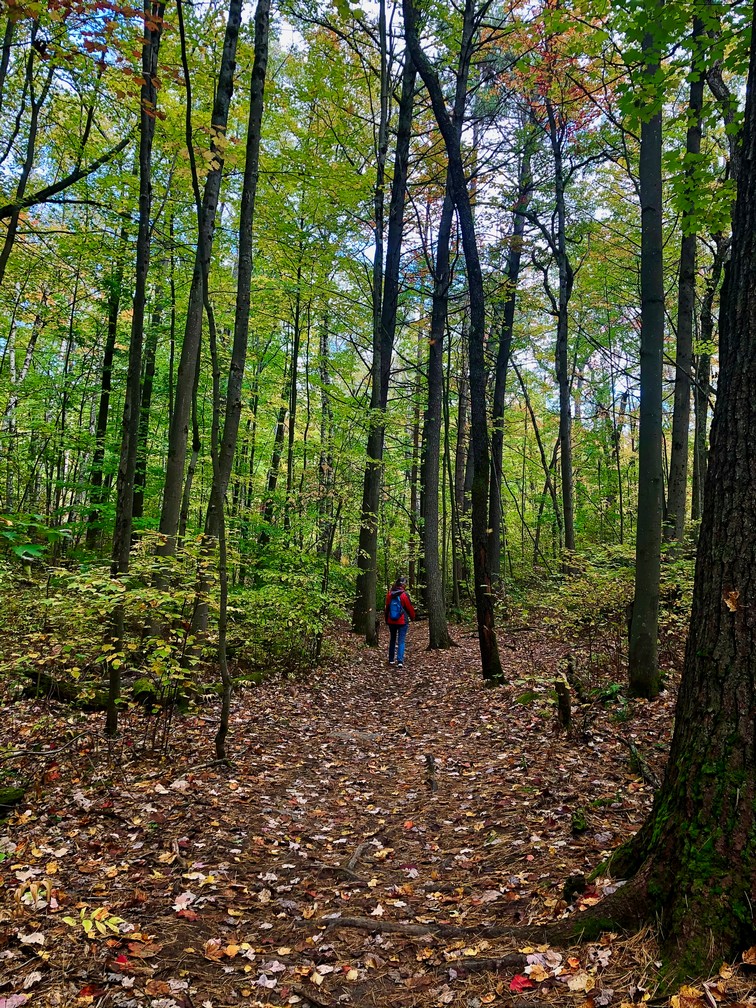
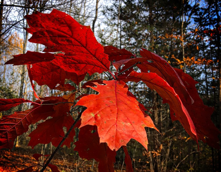
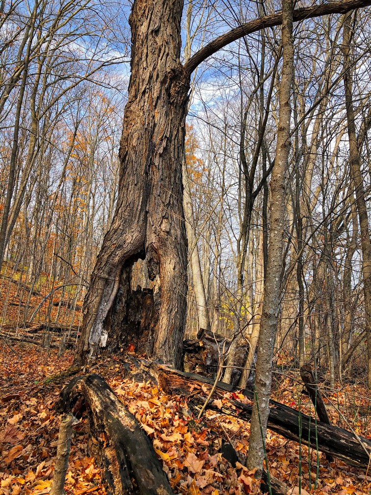
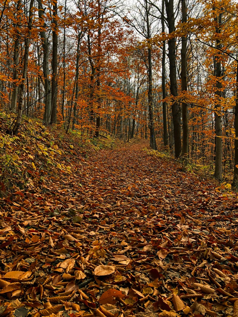
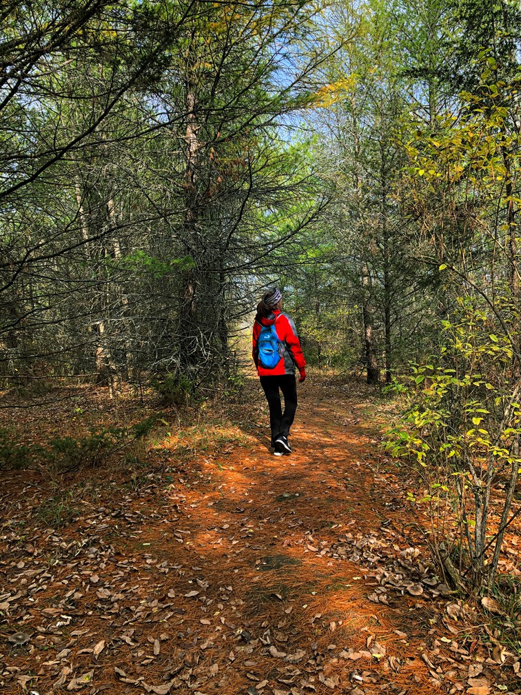
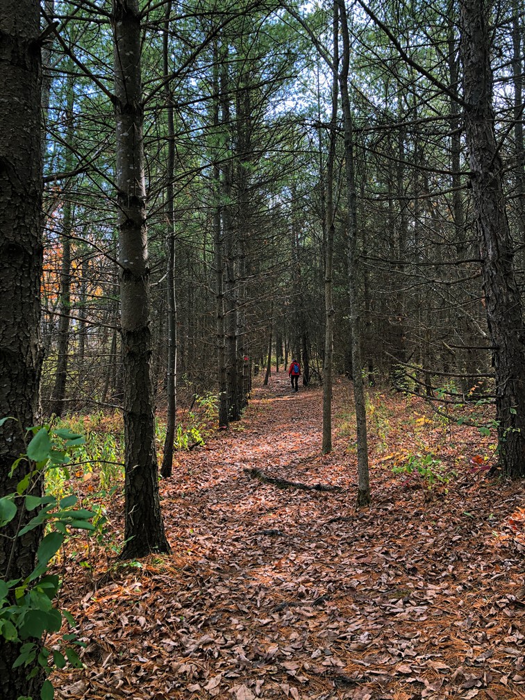
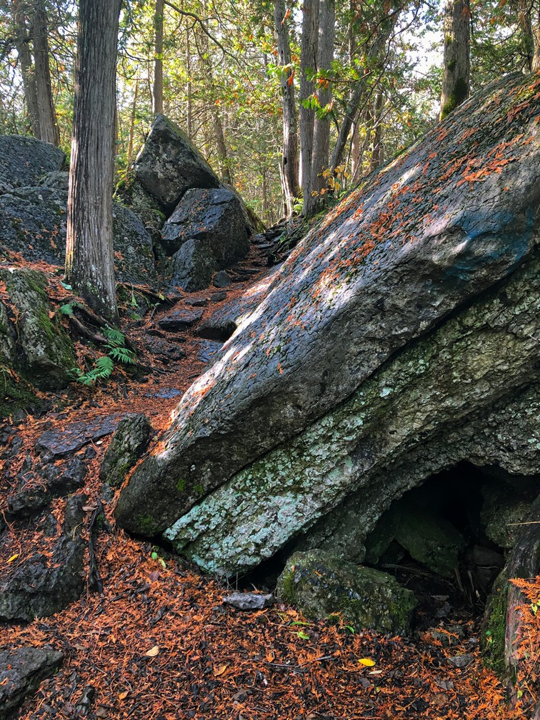
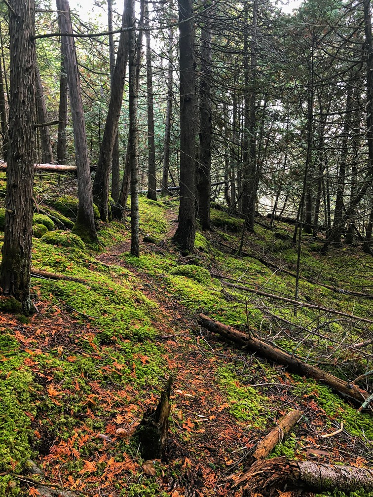
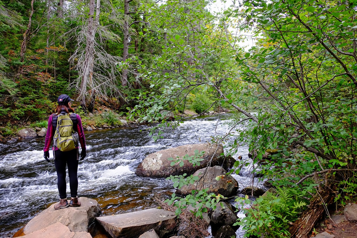
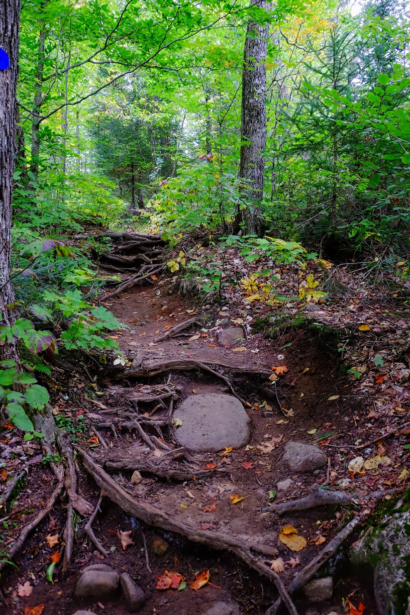
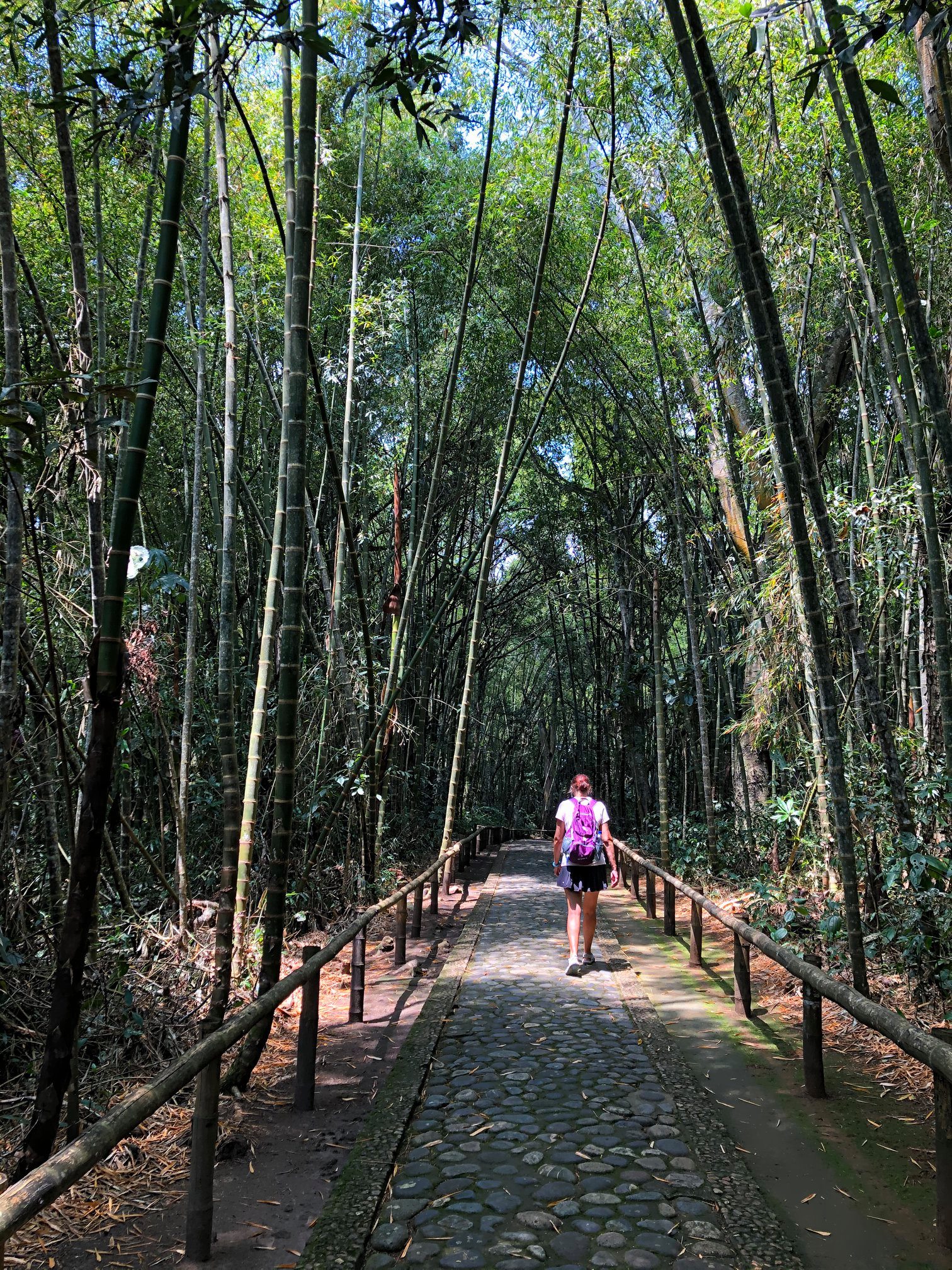
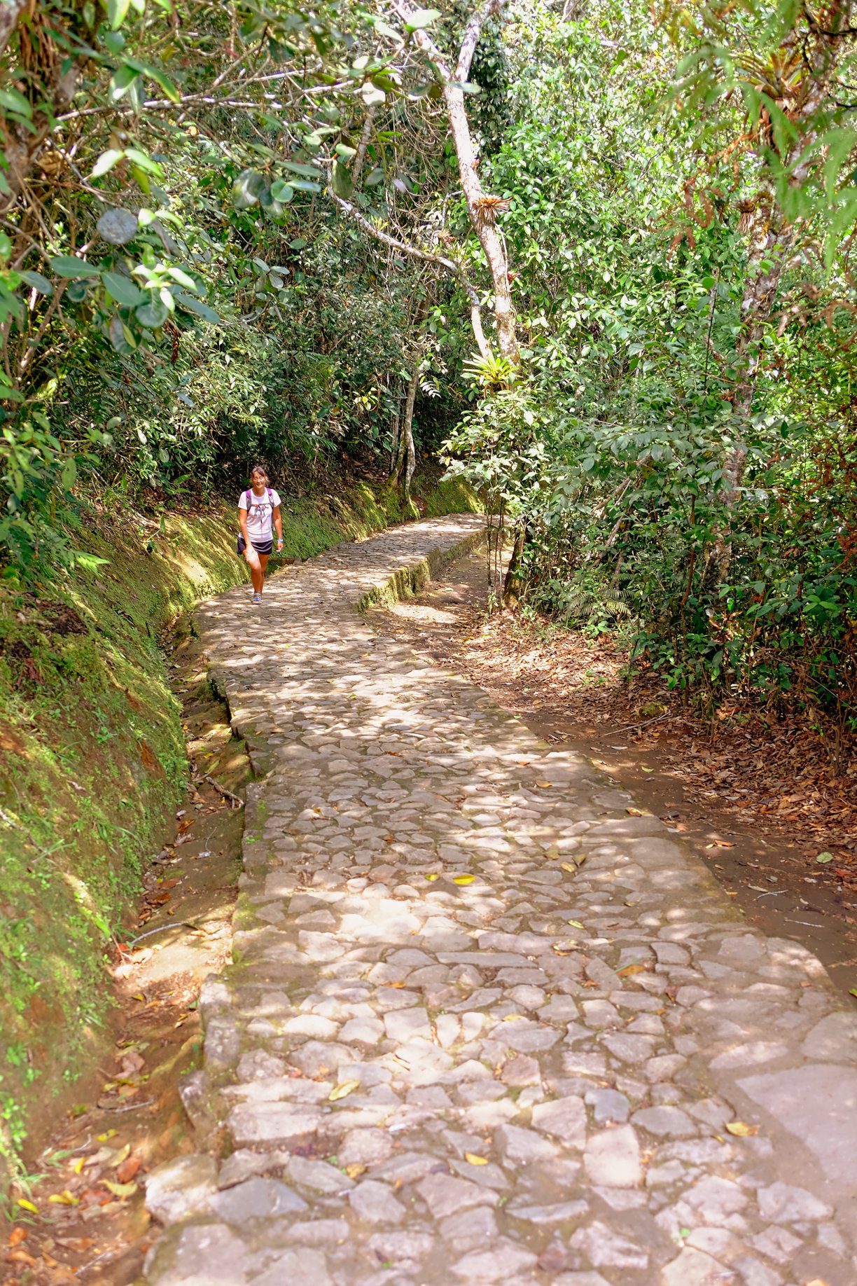
Some really good hills!
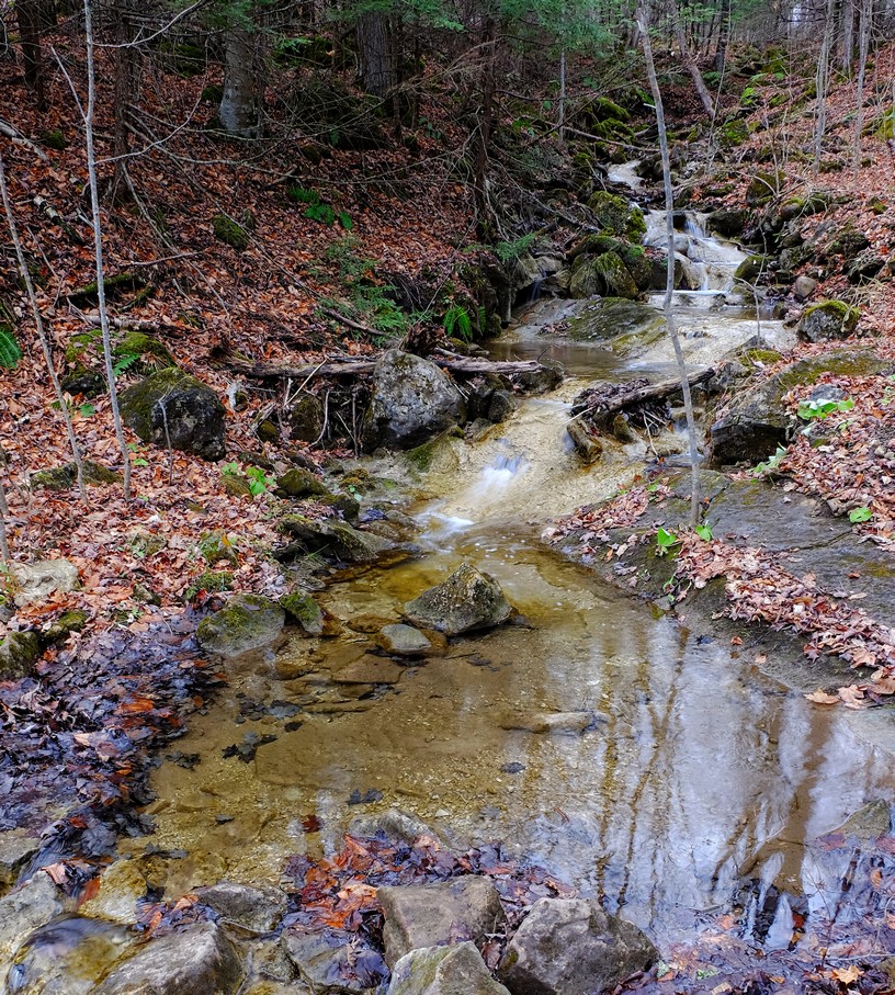
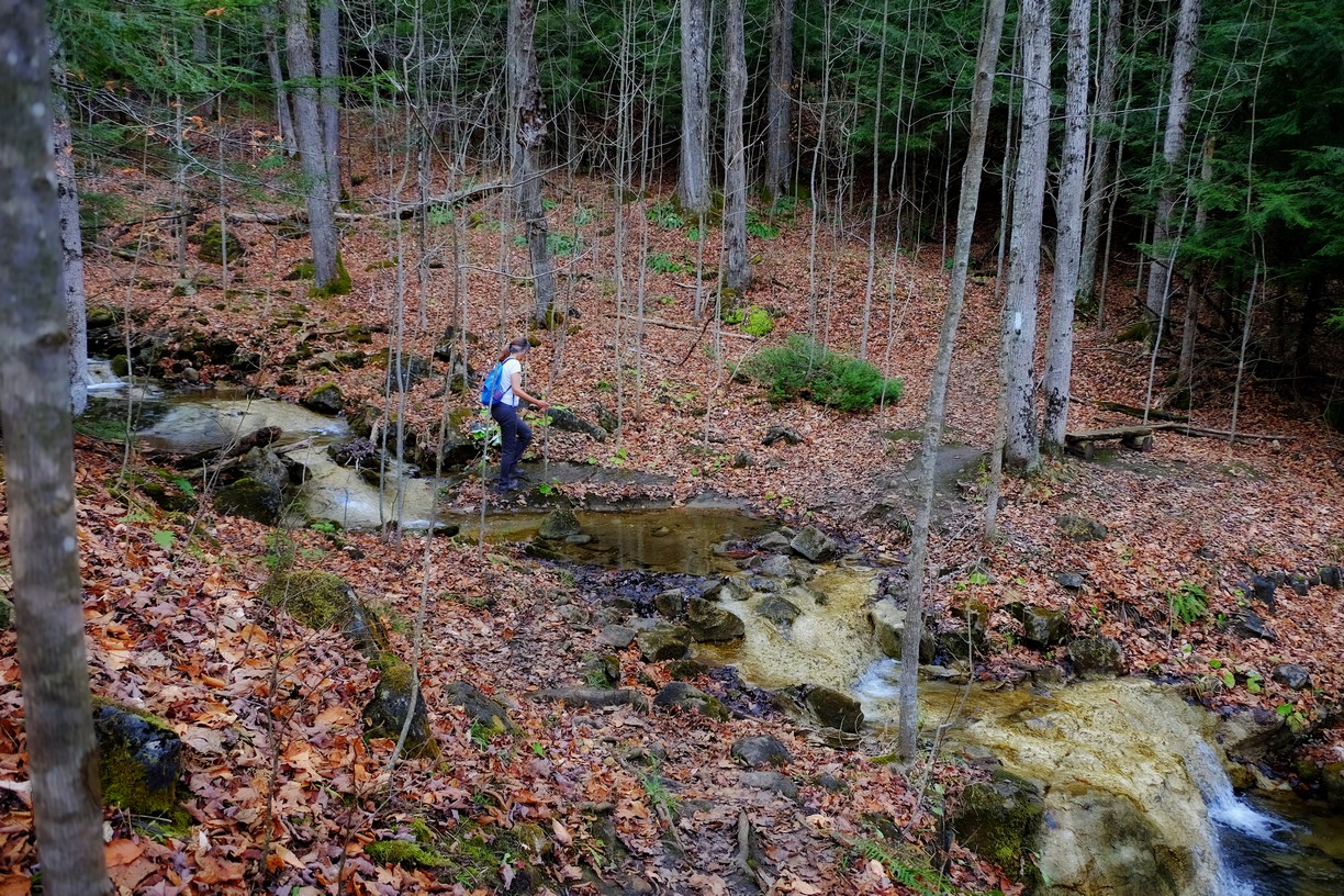
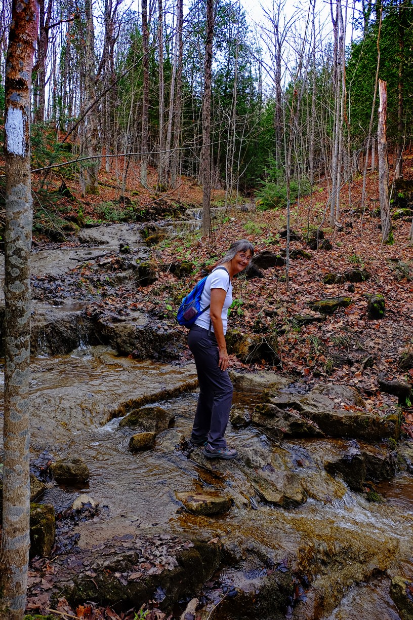
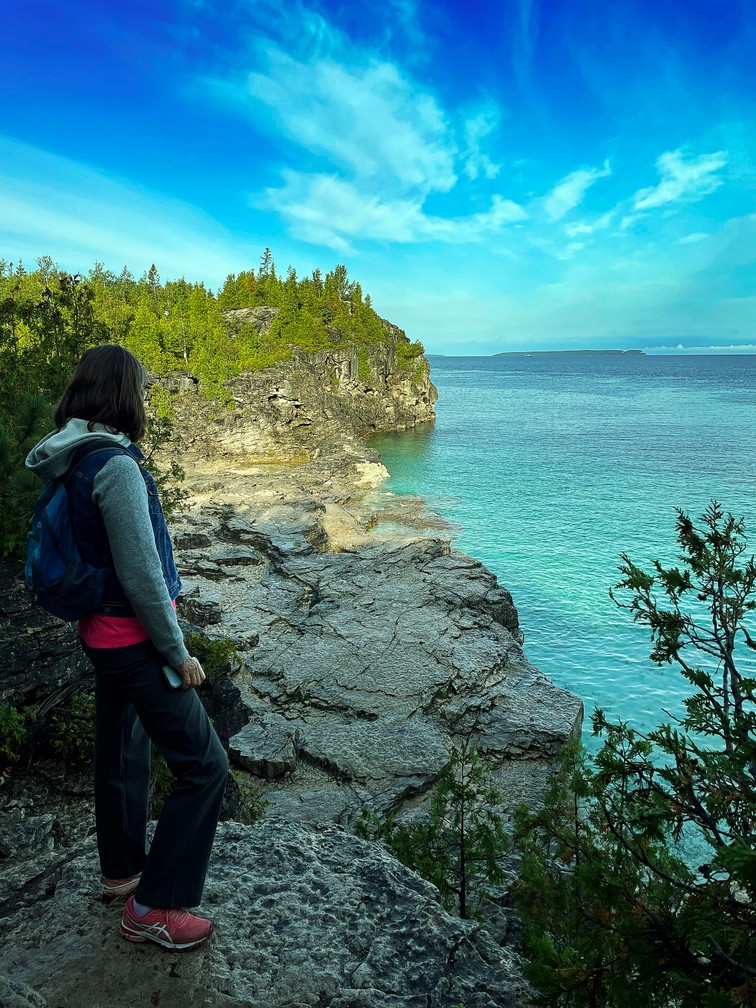
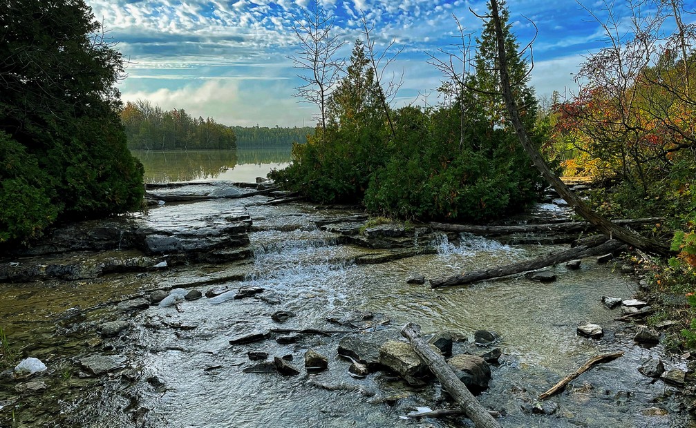
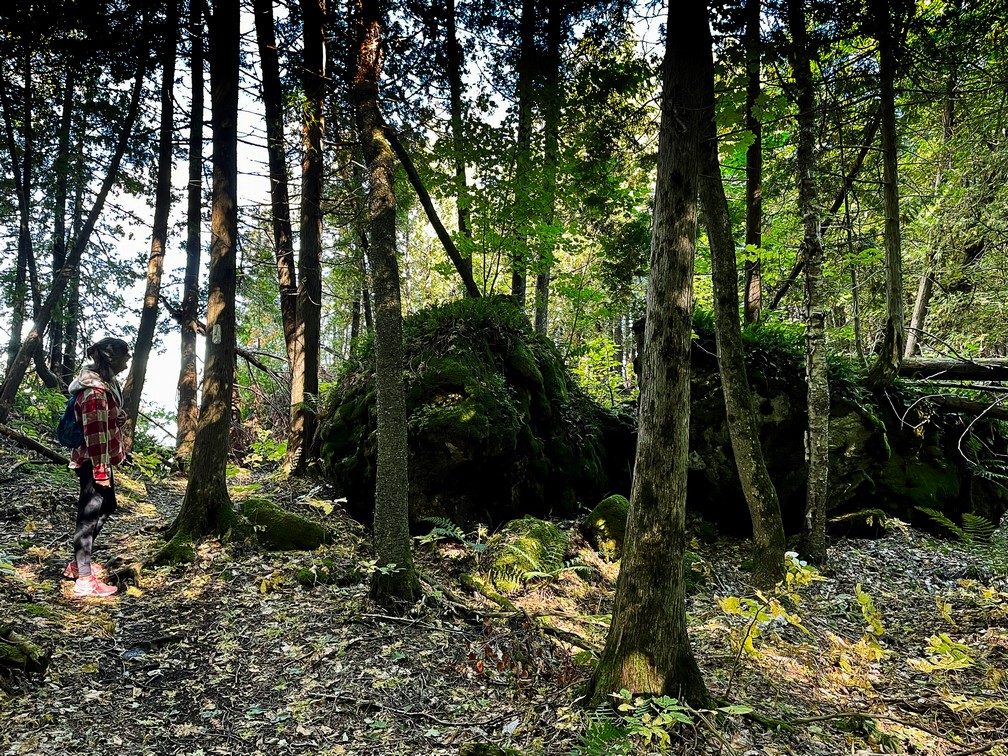
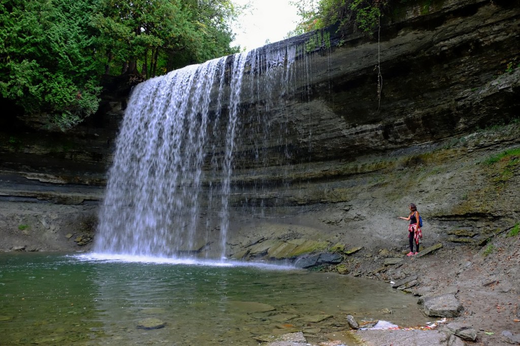
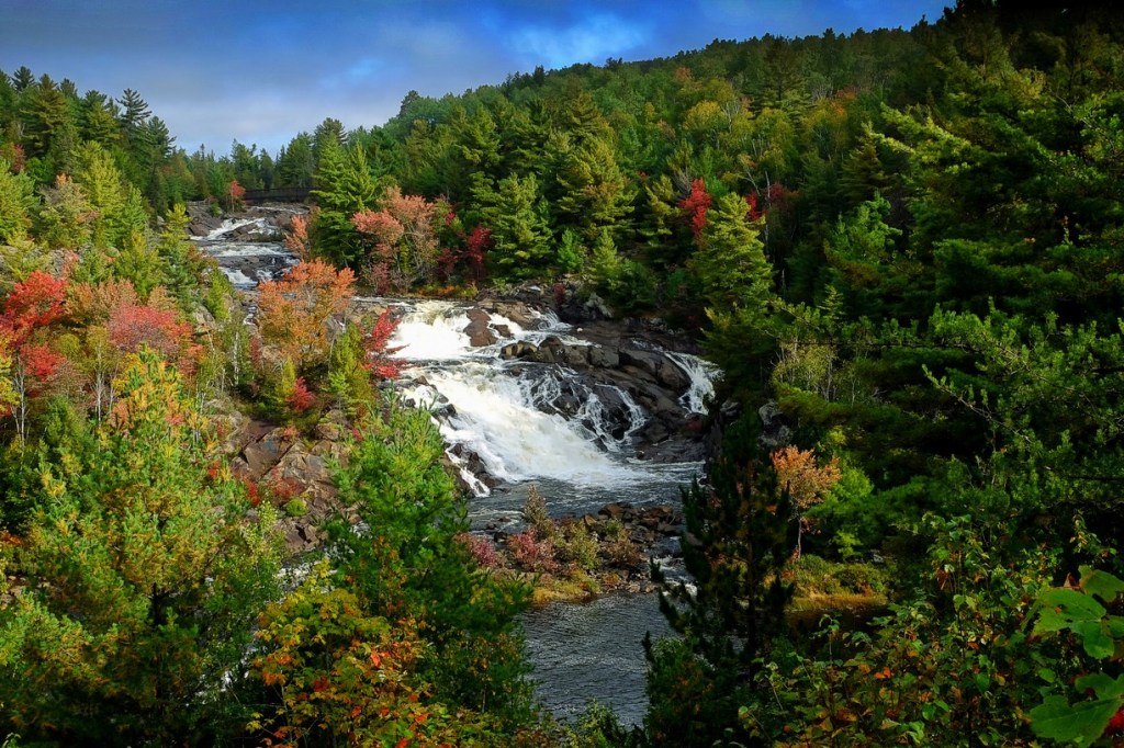
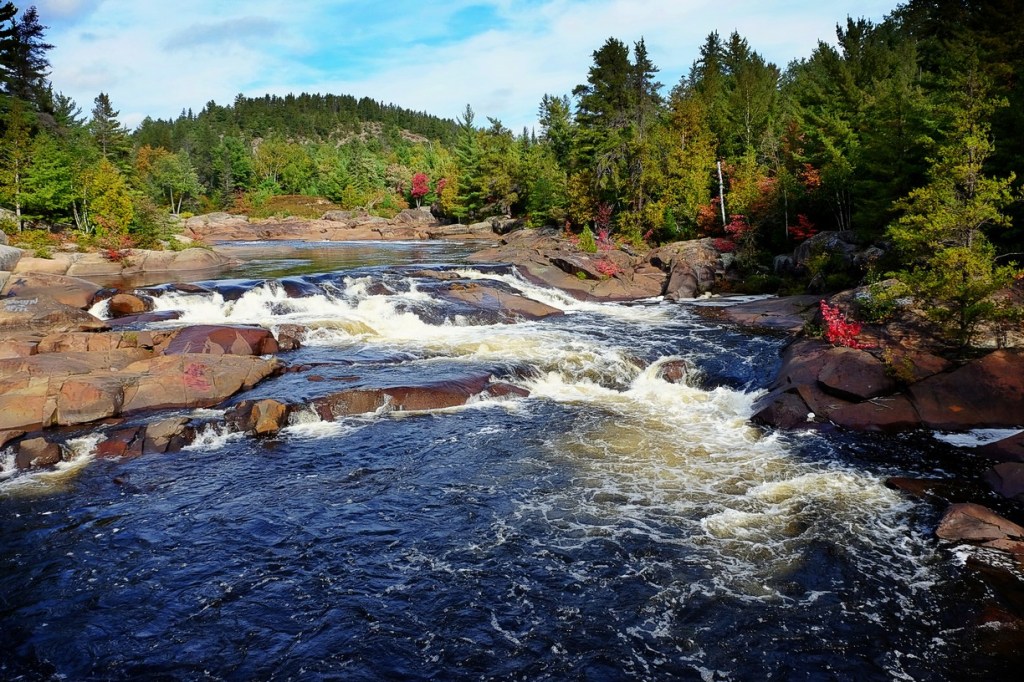
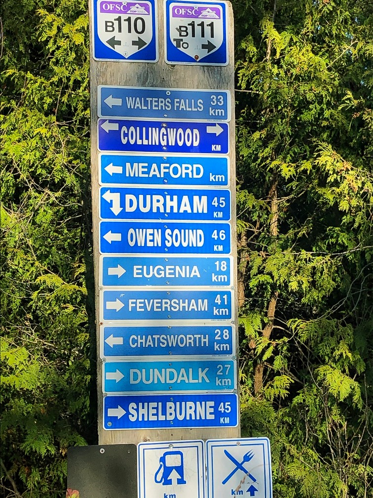
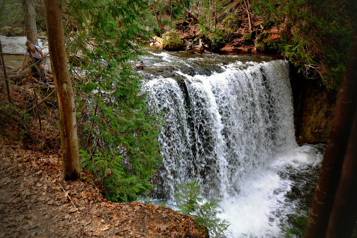
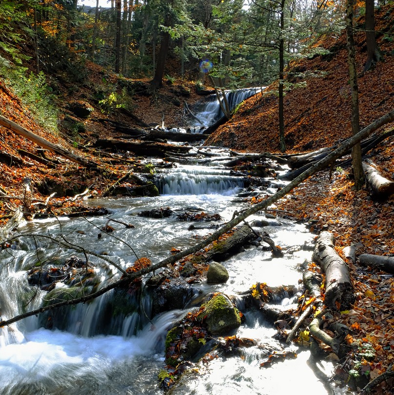
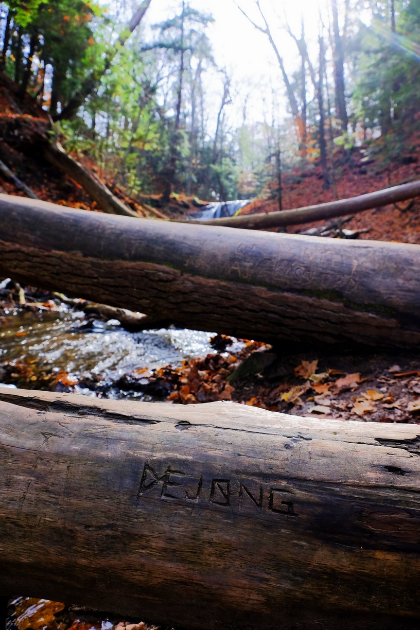
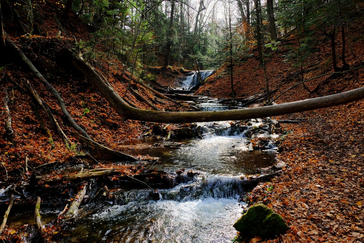
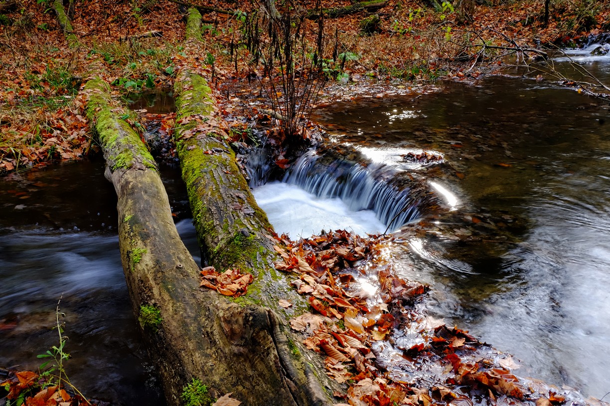
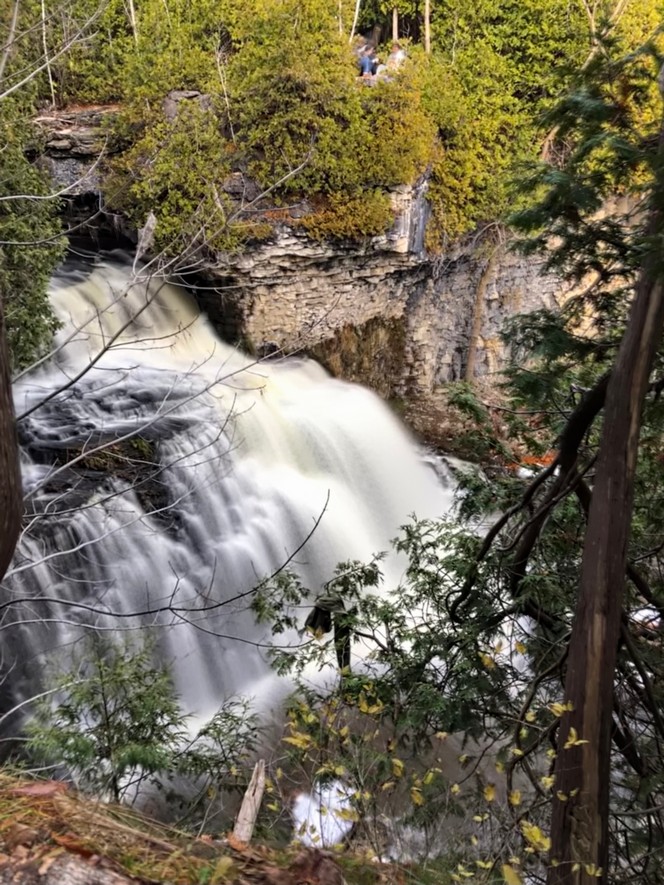
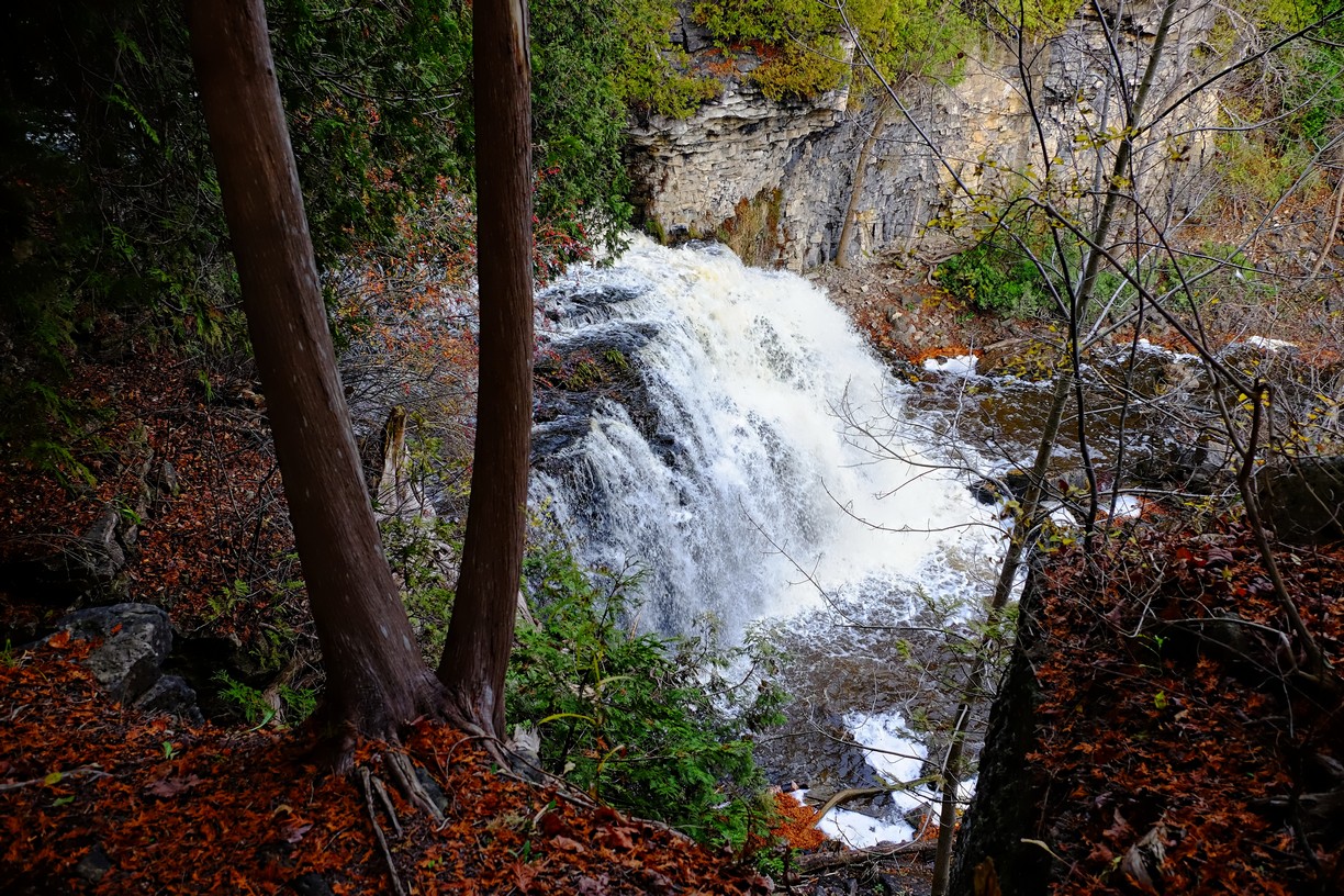
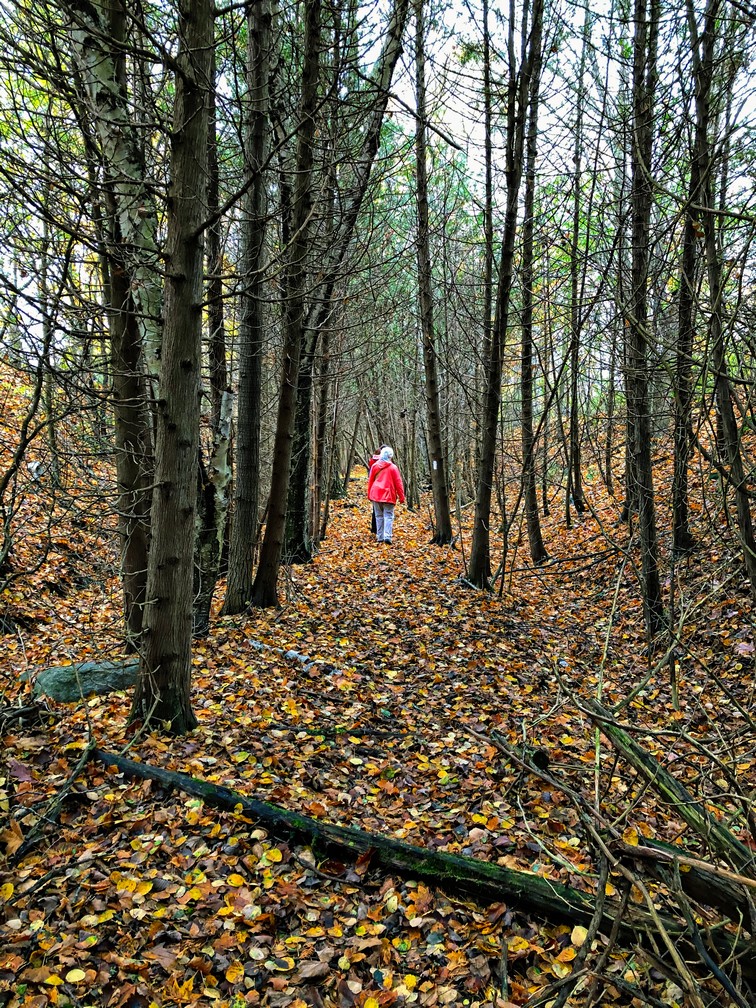
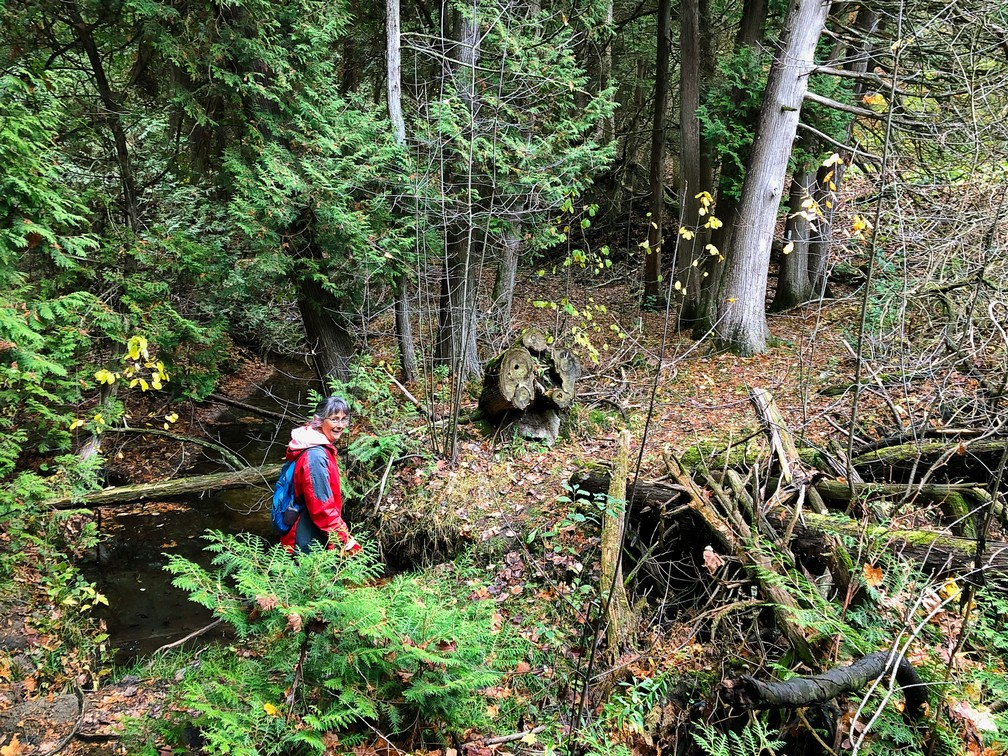
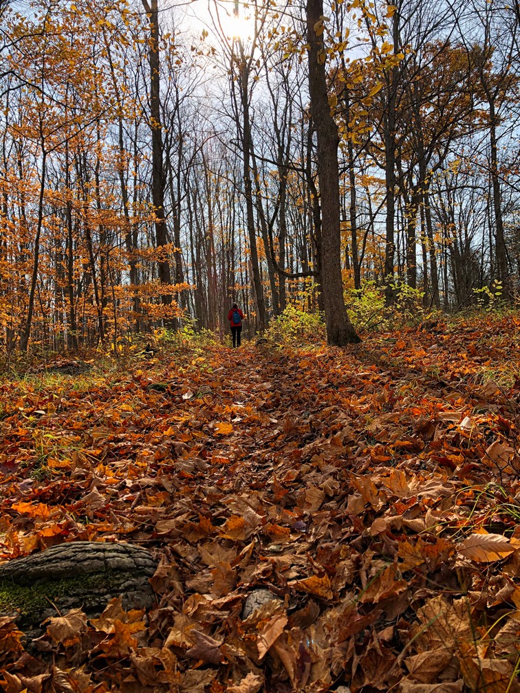
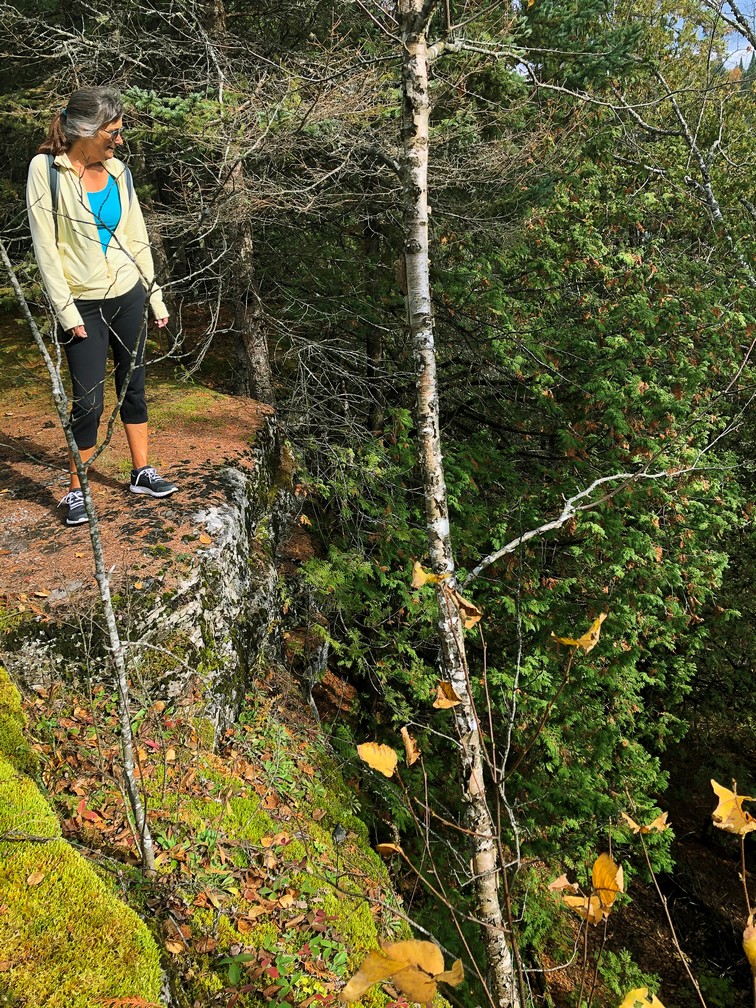
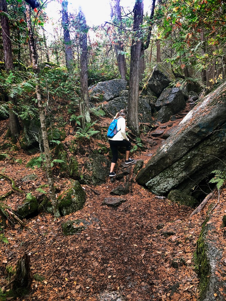
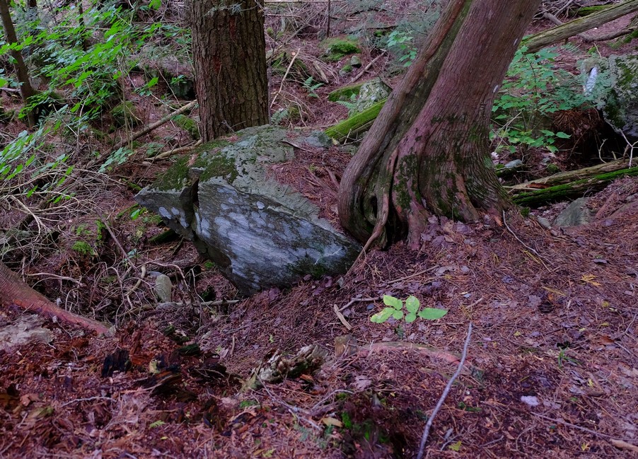
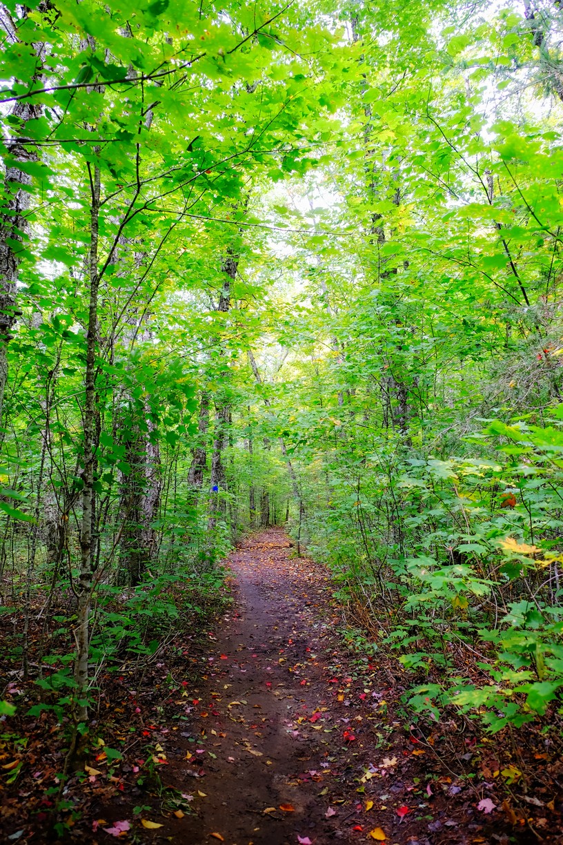
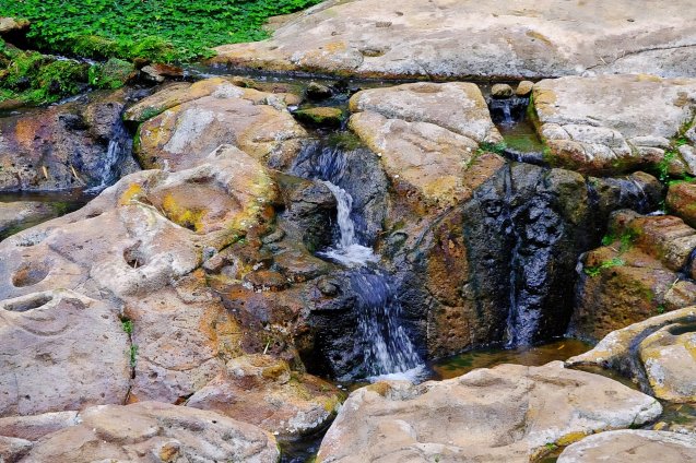
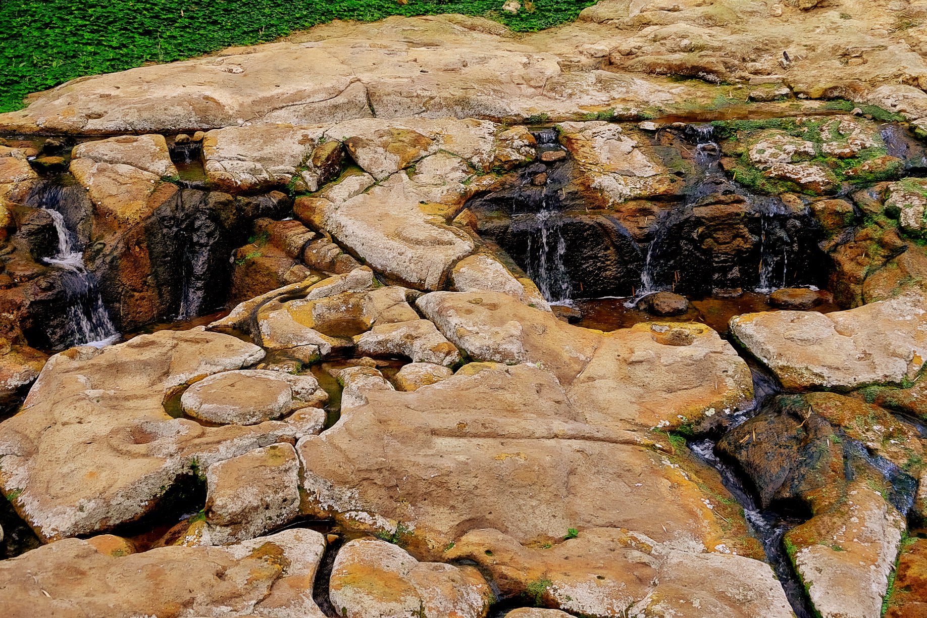
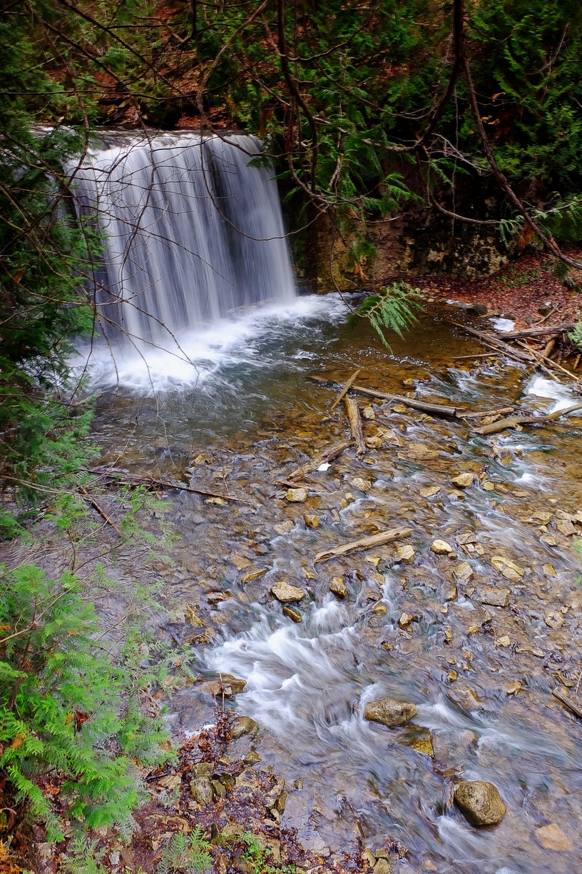
 Hogg’s falls

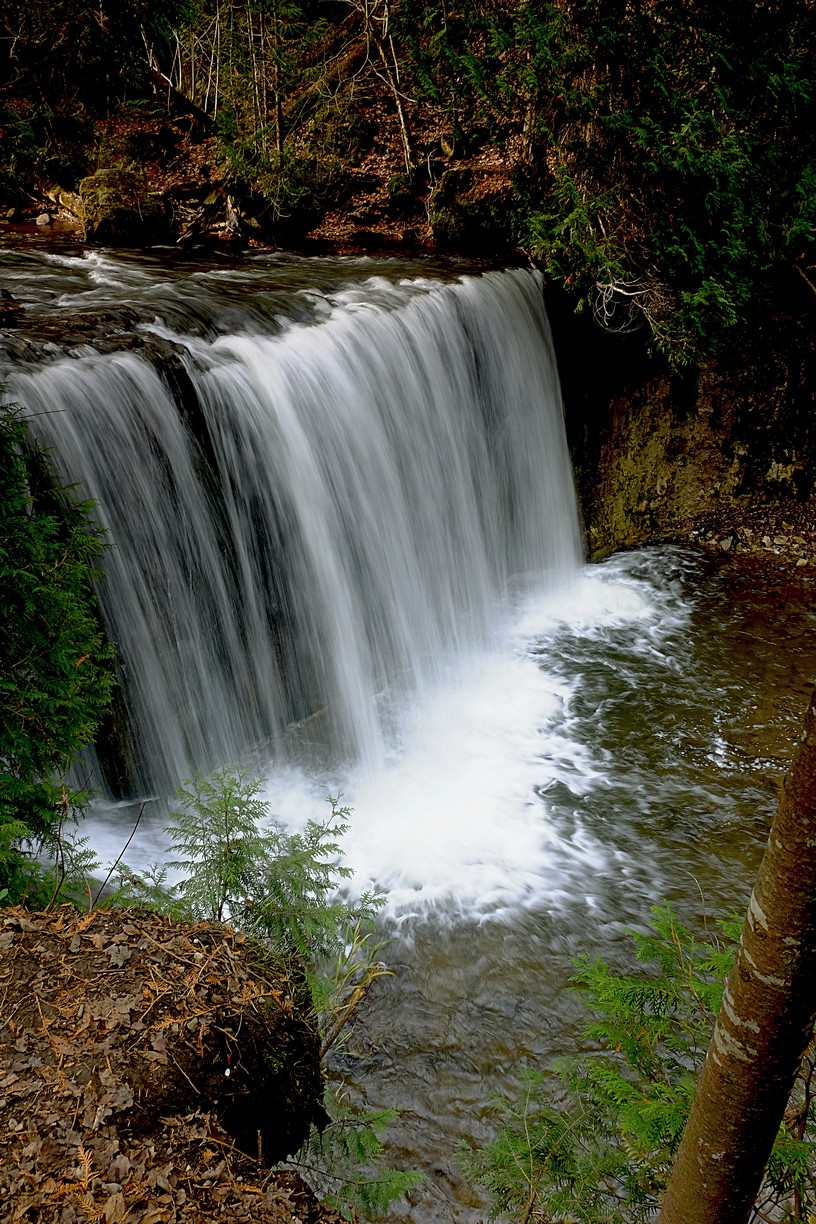
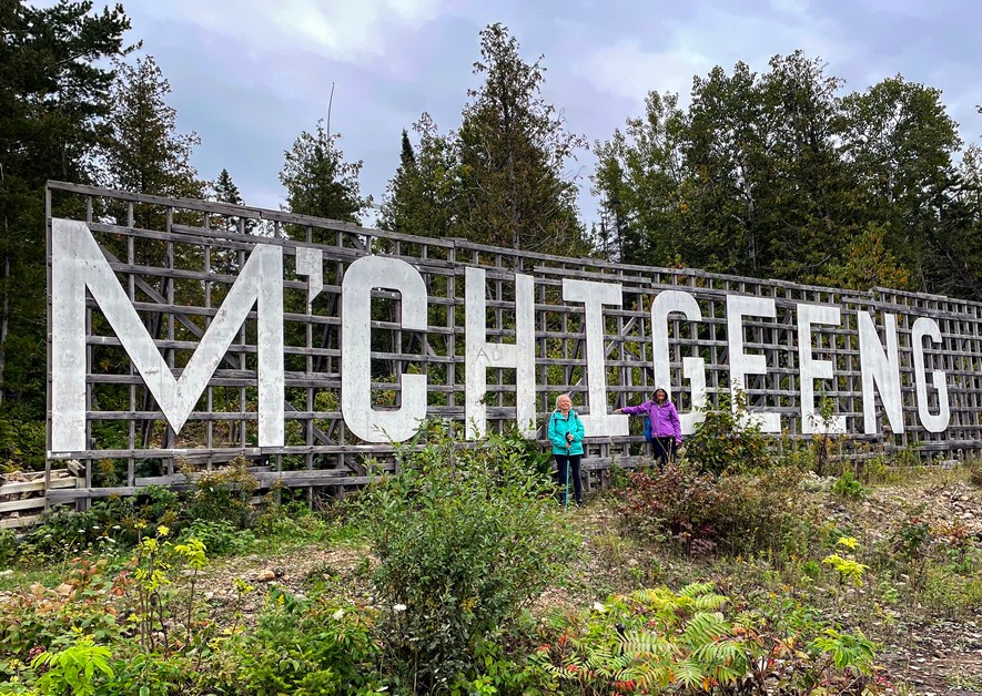
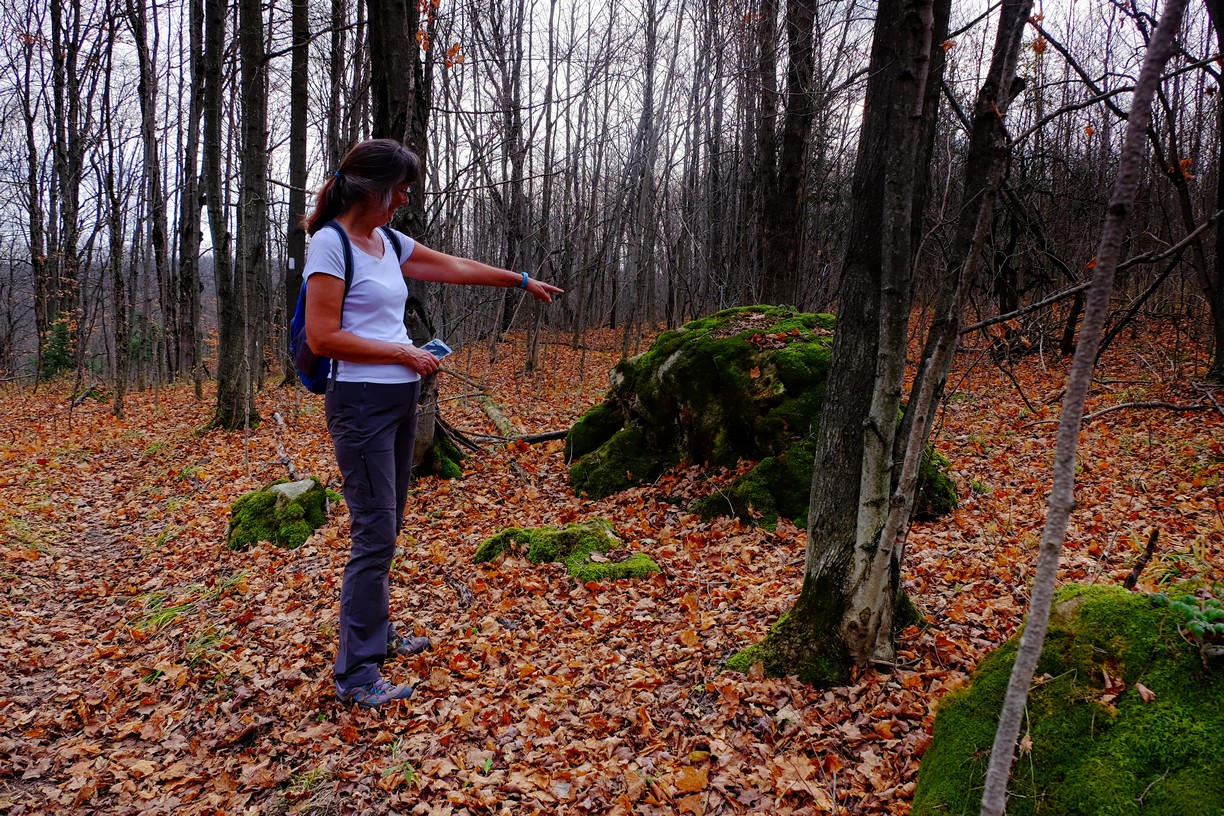
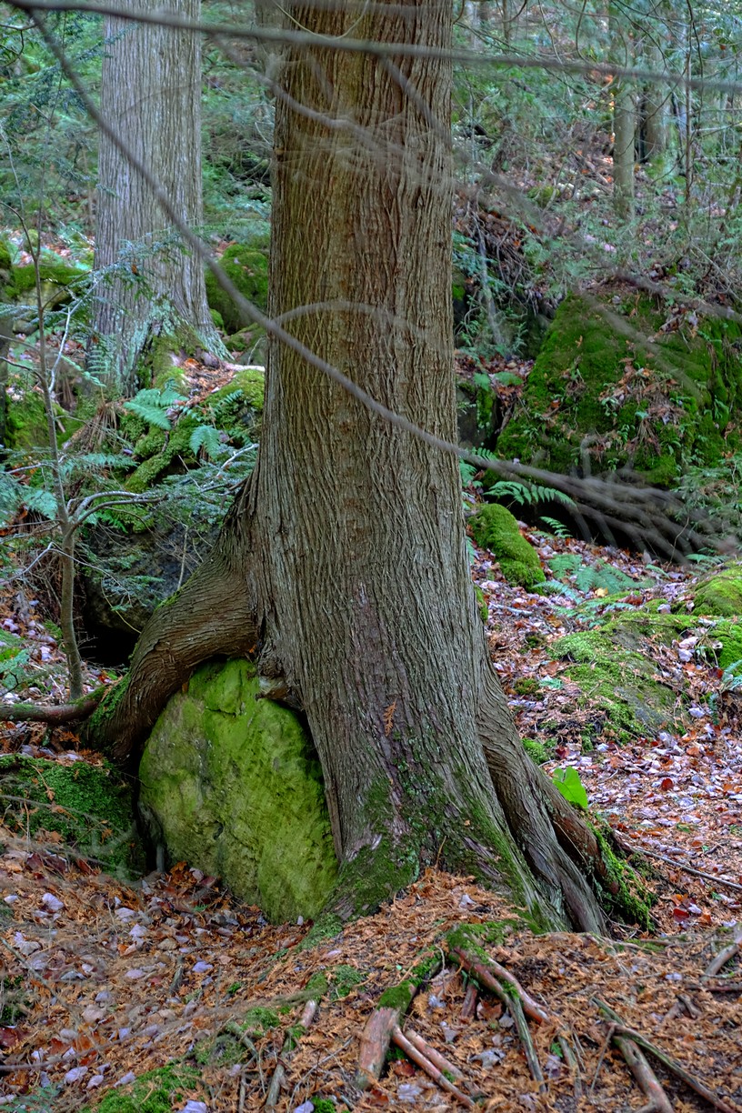
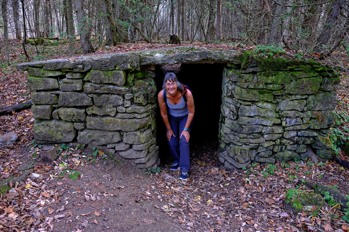
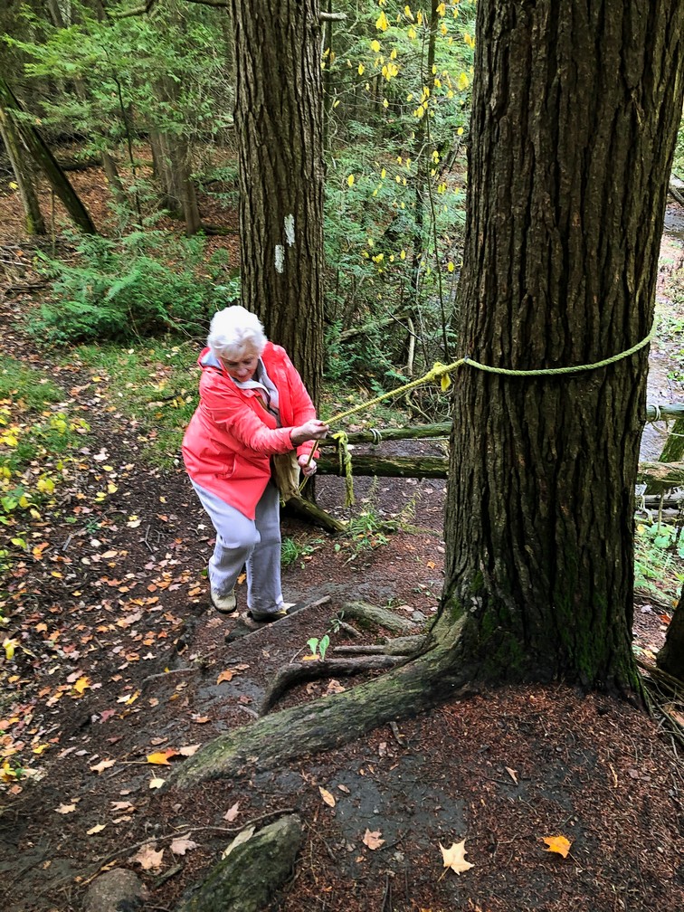
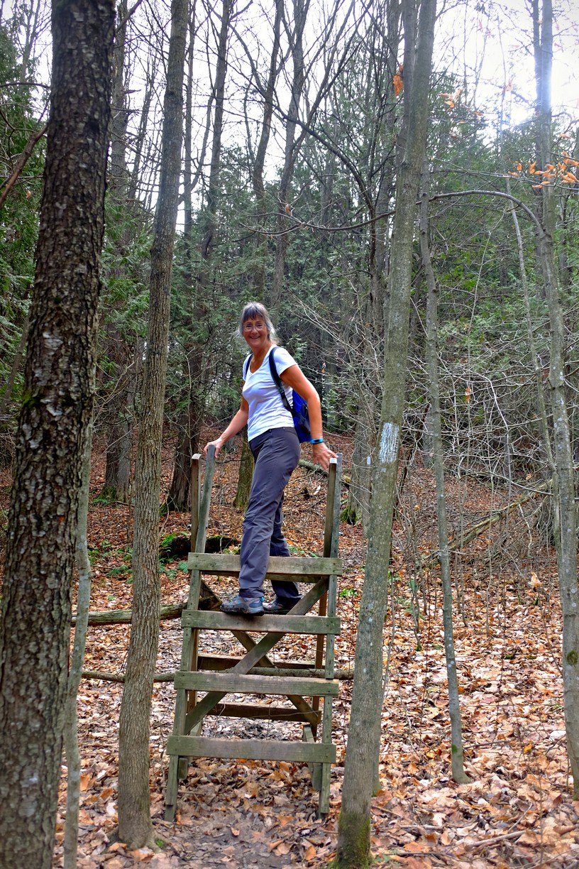
This is how you climb a fence!

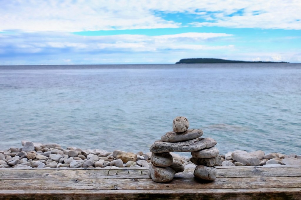
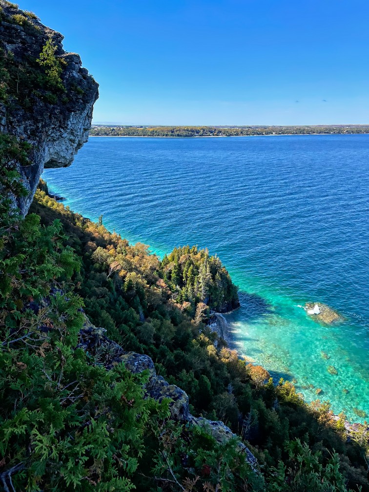
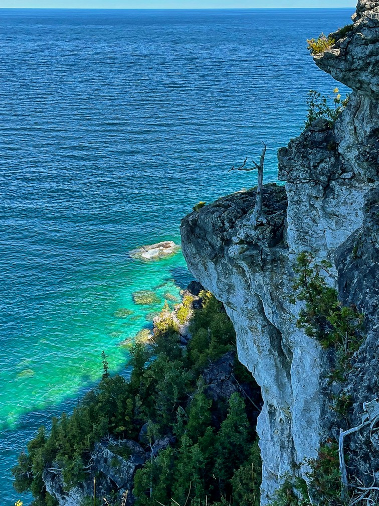
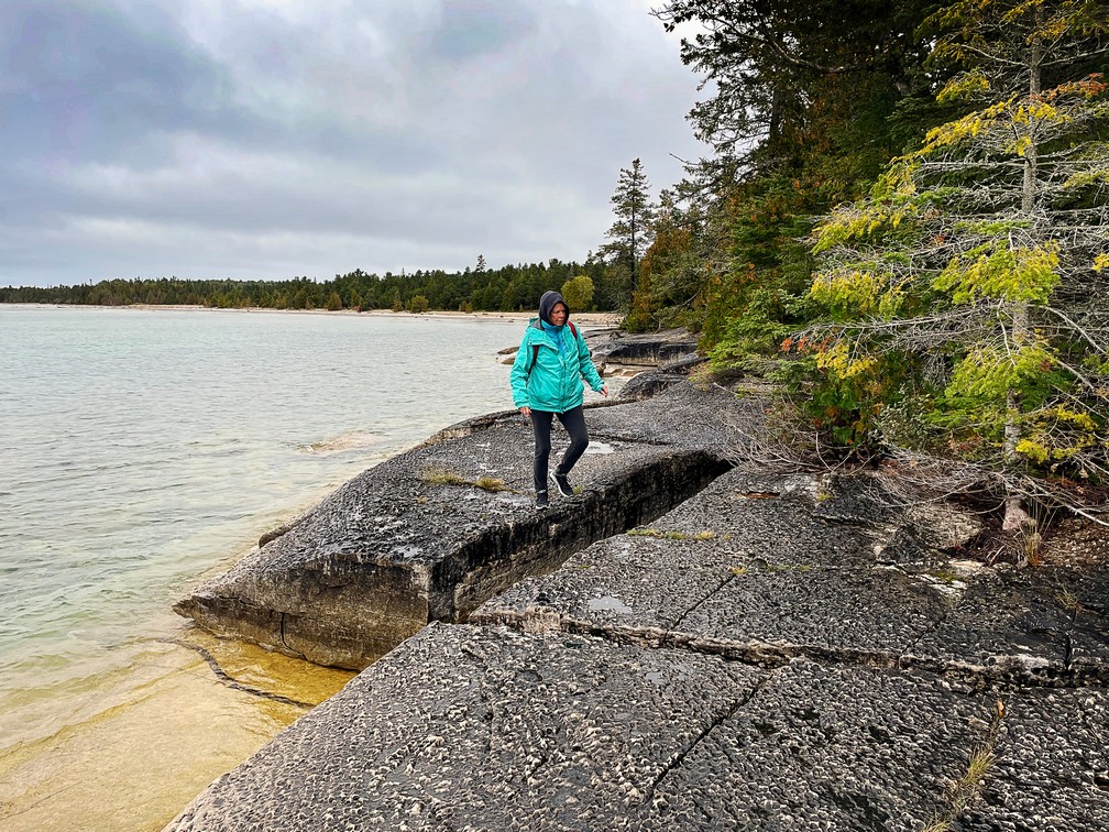
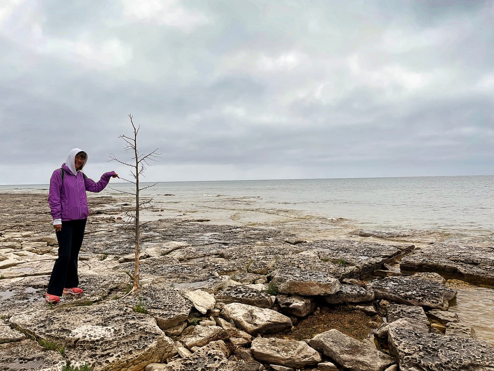
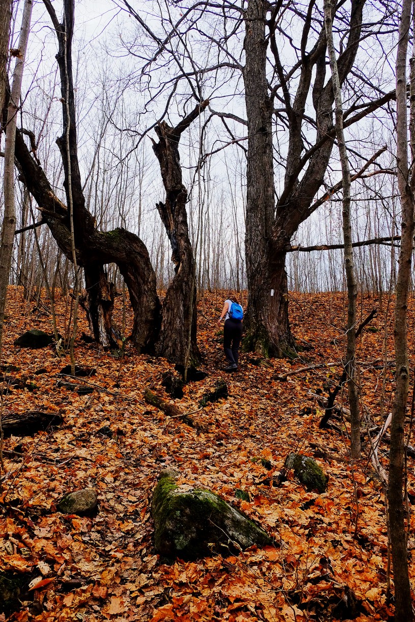
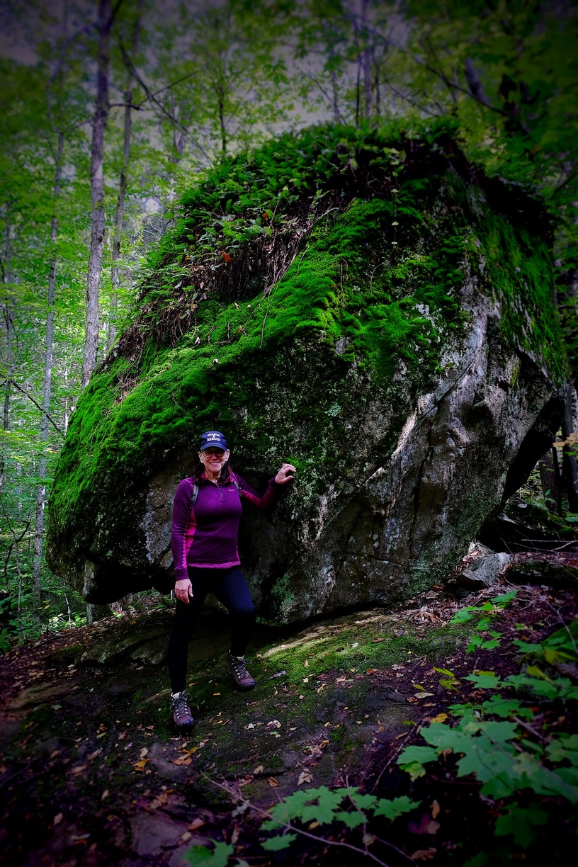
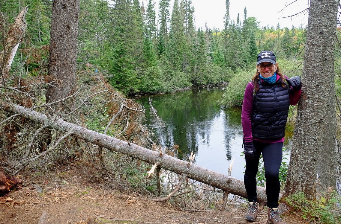
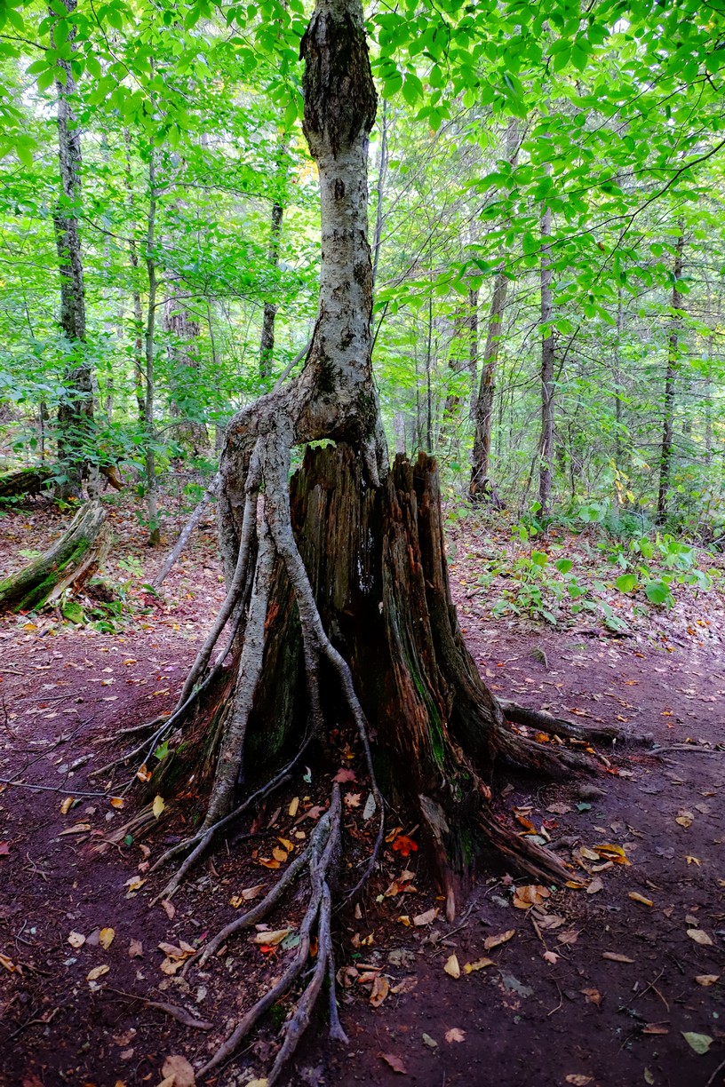
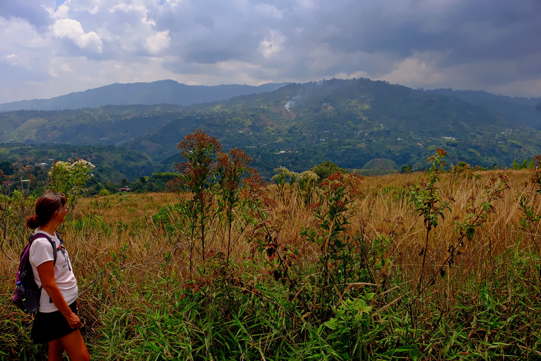
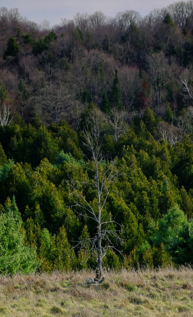
A lonely tree and inukshuk standing guard
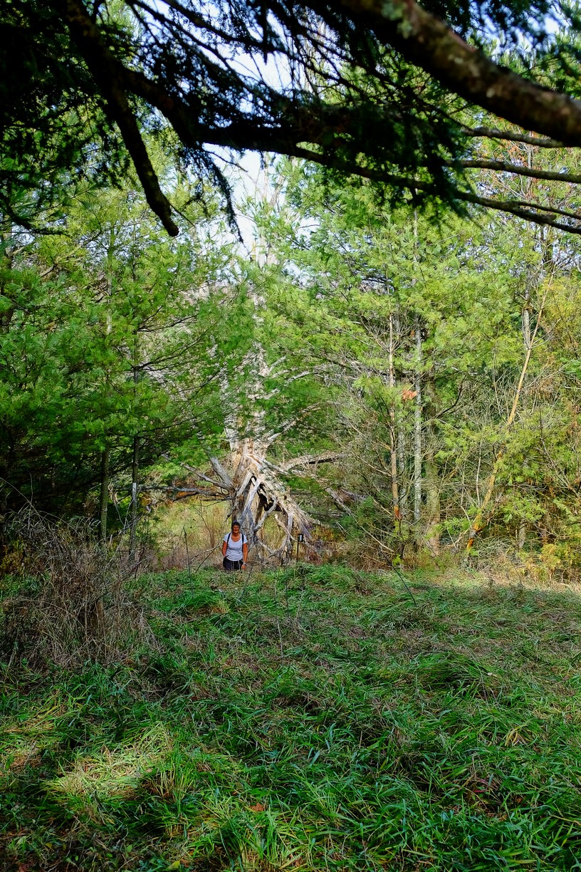
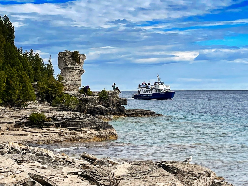
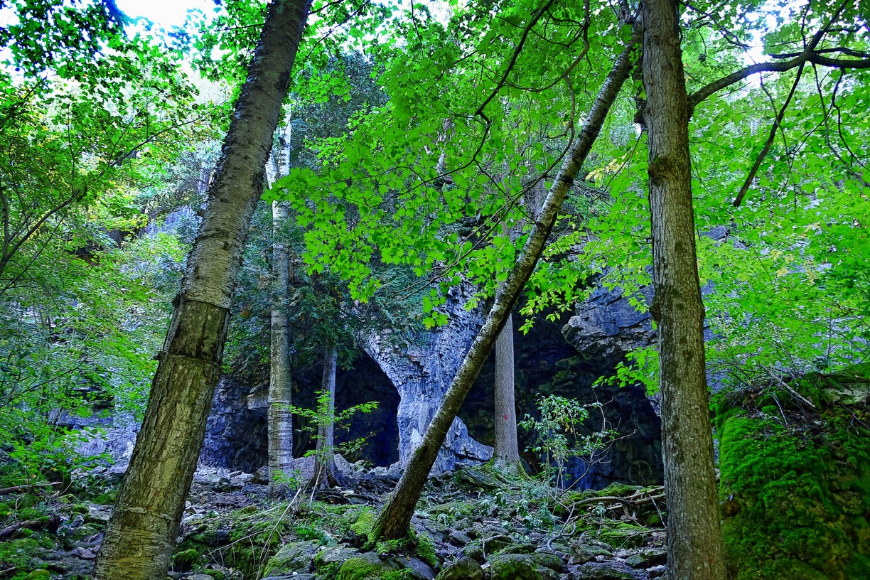
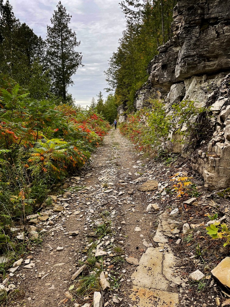
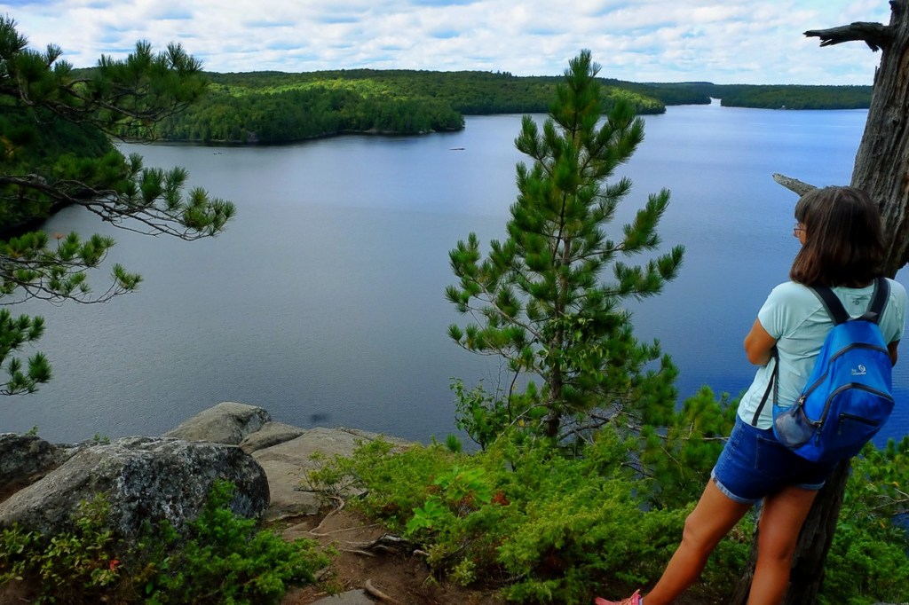
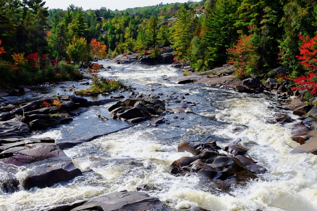
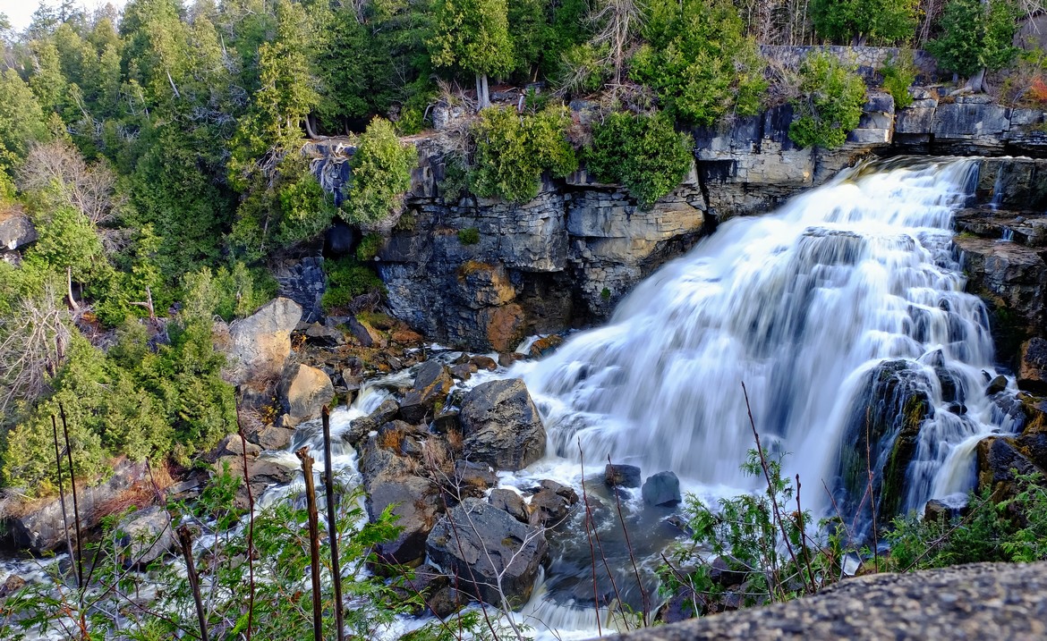
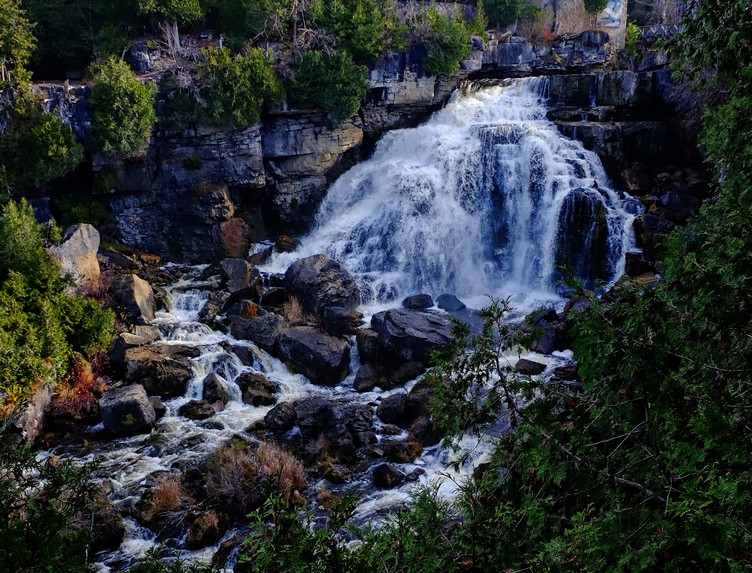
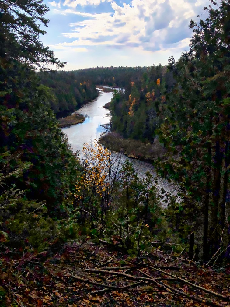
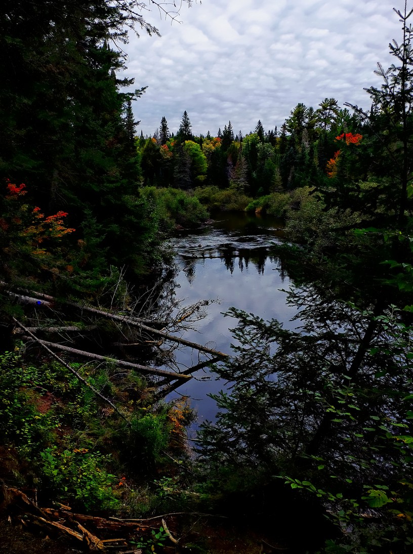
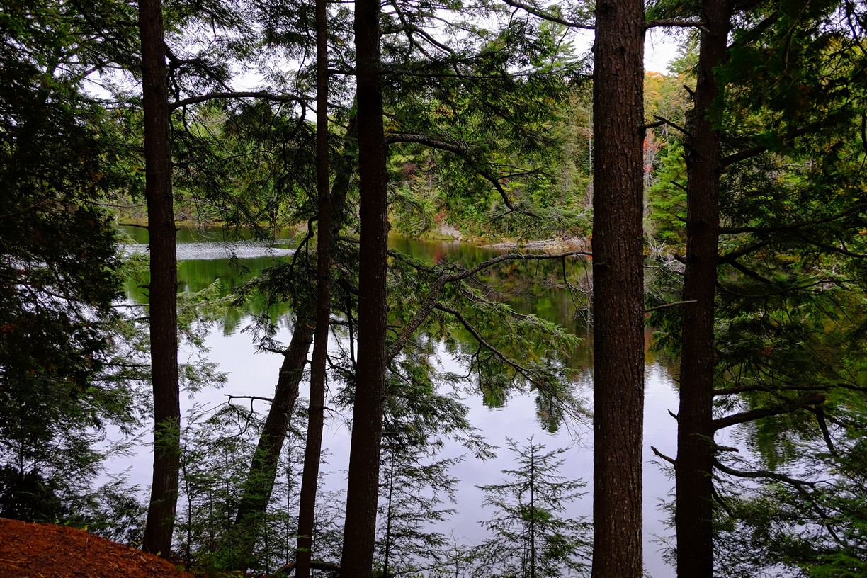
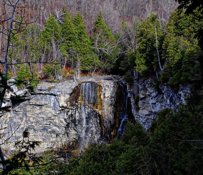
 Eugenia Falls

Friday

After another hearty breakfast prepared for us by Mark, we headed out to find Inglis conservation area.  Upon approach it said the road was closed so we parked on the side of the road and walked in to see what was up.  It was actually open so we moved the van from the no parking zone.  Inglis falls is gorgeous!  I snapped a photo of the map and we started on the trails.  Our plan soon flew out the window as we found different trails to follow and ended up in Harrison park.  The trails were in great shape with very little mud and lots of great hills to keep the heart rate up. At Harrison Park we found another waterfall.  Weavers creek falls is easy to miss as the path to it is tucked behind a big swimming pool but is a beautiful spot worth the visit.  We worked our way back without too much trouble and found the van.  Yay!

It was still early and we weren’t quite exhausted so found another park to visit.  The Pottawatomi Conservation area is home to another beautiful waterfall.  The trail to Jones Falls is only a half a km so after visiting that we did another loop.  The blue trail is quite flat and very easy.  The disadvantage to this park is that you can hear the highway noise throughout.

By then we were pooped so headed back to Markdale Manor and a nice cup of tea before walking to Fire and ice for dinner.  Both of us thoroughly enjoyed our delicious meals and being VERY hungry certainly added to that enjoyment.  Anita even treated herself to a scoop of ice cream.  Chapman’s is made right here in Markdale.

Inglis Falls

Inglis Falls

Is the tree hugging the rock?

Weaver’s falls

Look what I found! No, I did NOT do that.

Jones falls  Can you see the guys on the other side?


Those are some BIG boulders

Jones Falls

Saturday.

Our intention was to do a hike in Pretty River Valley Conservation area but every parking lot was full of vehicles at 10 am.   So we kept going. At the sign for Wassaga Beach, I noted that I’d never seen it.  Well that’s a good reason to see it now.  There was lots of room there and the beach goes on forever so a good hour walk along the beach was nice.  On November 7, the temperature was 20 degrees and there were kids SWIMMING in Georgian Bay!  A brief chat with their father had us agreeing that 12 year olds have no feelings.
Most people we passed were friendly and one family we greeted suddenly stopped us and said “HEY!”  He pointed and said “ALPINE?!”
“Um yeah” we replied.
“I’m Kevin! We stayed in the Basswood!”
Anita and I both recognized him then and laughed at the coincidence of both of us being there!  “We’ll be back next year!” he said and we all said good bye.  Too funny!

Our drive back was uneventful though we did treat ourselves to a McDonald’s ice cream 😉  What a wonderful trip!  Ontario IS ours to discover and has SO much to offer!

Yes, the water is FRIGID!

These kids have no feelings. Georgian Bay in November?!!

Finding new sights in my own backyard. The Ganaraska Trail! Maybe I can walk to the Bruce Trail?

Anita and I are on a mission not to miss out on traveling by doing as much as we can close to home.  The previous post can be found here:   Still amusing a traveler. How to stretch a 2.7 km hike into a 6.6 km hike. It takes talent!

Cori messaged, asking if we wanted to join her on a hike on the Ganaraska Trail and these travelers jumped at the chance to hike a trail we’d never heard of.  Interestingly it starts in Port Hope and goes 500 km to meet the Bruce Trail.  No, we didn’t plan on doing the whole thing. The piece Cori said is her favourite follows an old railway bed just North of Port Hope.

We met Cori and drove to the 4th line where she parked her car and hopped into Anita’s.  Then we drove to the 6th line where we parked and started the trail South.

I forgot to record the trail till we’d been walking awhile.  We took our time, enjoying the scenery and the history all around us and took about 1.5 hours to walk the 5 ish km   All trails hike recording

Most of the leaves are down which makes it a beautiful carpet

Bunch of goof balls.

Funky bridge. It was slippery and looked like it wouldn’t hold a lot of weight so …. one at a time and don’t gain weight.

Careful Cori!

A former railway track makes for a nice, flat trail

If this trail piques your interest, there are maps and lots of information on this site: Ganaraska Hiking Trail


Still amusing a traveler. How to stretch a 2.7 km hike into a 6.6 km hike. It takes talent!

Previously we hiked the Warsaw Caves. Find that post here: Keeping a traveler amused in Covid times. It’s a challenge! Warsaw caves

It was a chilly 5 degrees but not raining so perfect for finding a place to hike.  We hadn’t been to Ferris Provincial Park since the Spring so we decided to give it a try.  The main gain was locked so we went in the “back way”, known to locals and walk in only.

The “path” we took

We started off on the blue trail which led to the white, then the red trail.  It’s well marked but is still often hard to follow as the path is well covered in leaves.  Somehow we managed to lose the red trail and ended up on the trans Canada trail for bit.  Here’s a link to the path we ended up following.  All trails recording
Yes, the trail is supposed to be 2.7 km. We did manage to make it 6.6 km.  We didn’t manage to do it right in the Spring either.  Maybe with more practice we’ll eventually conquer following this trail properly?  Oh well.  In the mean time we saw most of the park and enjoyed a nice afternoon in the woods.

Since the hike turned out longer than expected, rather than find another one to do we stopped at Sharpe’s Grocery.  It’s the thing to do when in Campbellford as it’s one of my favourite grocery stores.  Dooher’s Bakery is closed Sunday or we may have stopped in for a treat.

Interesting rock wall at what we think was the look out point

Stubborn little oak tree still has it’s leaves

I don’t know how this tree is still standing

From the website: https://www.ontarioparks.com/park/ferris/activities

Hiking

Drumlin Trail System – 3 interconnecting looped trails:  Blue 1.2 km (1.0 hour); White 2.5 km (2 hours) and Red 2.5 km (2.5 hours), moderate
The Drumlin Trail System takes you through mature mixed forest, by small wetlands and along seasonal creeks that have developed on two elongate hills called drumlins. These drumlins were formed thousands of years ago by glaciers, and largely left as woodlots by European settlers. The spring wildflowers can be spectacular in spring.

The Blue and White Trails take you near areas where the Ferris family’s sugar houses, shingle mill, granary and sheep pens once stood. The Red Trail goes around the back of the second drumlin, taking you past the old W. Cock Brickyard. Little physical evidence remains of these pioneering enterprises but their legacy as the forerunners of today’s vibrant local communities is not forgotten.

Keeping a traveler amused in Covid times. It’s a challenge! Warsaw caves

Most days my sister and I walk at least 5 km, usually on our lightly trafficked, dead end road. The other day we got carried away and went around the block.  That’s about 10km.  It breaks up the day, is good exercise and gets us outside.

Today was likely the last day of temperatures over 20 degrees and WAY too nice to spend indoors doing bookwork so Anita and I decided to do our walk in Warsaw Caves conservation area.  It had been years since either of us had visited and it’s only 50 km away.

The park is officially closed so you must park outside the gate and walk in.  We headed towards the campground and found a trail so started with the Limestone plains trail.  It’s a flat trail of 3.7 km that traverses fascinating limestone rock, bush and forest.  Other than a few tripping hazards the trail is very easy, although it’s labeled moderate.

I recorded the hike on all trails but didn’t start till we were almost finished the first hike.

Link to All Trails map

Anita just about stepped on this little guy. Good thing he was quick!

You can hear the underground river here

We met a few other hikers but for the most part, the park was incredibly quiet.  Next we found the Kettle and look out trail.  The caves trail was closed due to covid but the other trails are just as interesting.  There were lots of rocks and tree roots to climb over and enough hills to make it a decent work out and keep the hike interesting.  The woods are gorgeous with massive, moss covered rocks everywhere.  At one point you pass some holes and caves where you can hear a river running underground.  The view from the lookout is gorgeous.  On the way back we sat for a bit and chatted with a park warden who told us a bit about how the geology of the area was formed.  We live in a fascinating area!  There are so many different ways the glaciers left an impact.  Every park is different.  Let’s explore!

Traveling in my own backyard. Making the most of a pandemic. Let’s explore Ontario!! Algonquin here we come!

2020 has been a year to remember for sure.  In the hospitality business it’s been pretty crazy.  It’s been a roller coaster of not being allowed to open and then figuring HOW to do so while keeping guests, staff and US safe.  After more than 20 years in business we felt like we were starting over.  August turned out to be the BUSIEST month ever and Labour Day weekend ended it with a full house.  So, after saying good bye to our last guest and cleaning the worst of the mess up, we decided to take a break and took no reservations for a few days.

I reached out to a friend and asked Deb if she would be free to go camping for a few days.  Remarkably SHE had just decided to take a week off work to do some work around the house.  Well.  It didn’t take much to convince her to put that off and go on an adventure instead.  Deb has all the equipment, including a beautiful canoe, so we started planning a canoe trip to Algonquin park, something I’ve dreamed of doing for years but never had time off when it’s suitable to go.  YAY!!

Saturday, September 12

It was a gorgeous fall day as we launched Deb’s beautiful canoe onto Canisbay lake and began our search for a campsite.  We headed to the right and searched for the orange signs for an available site and found a nice one with a natural rock dock.  After unloading and setting up camp we enjoyed a lunch of wraps with lots of fresh veggies.  We took our food with us and set off to canoe and explore the lake.  Towards the campground and to the left were narrows that ended in a beaver pond.  We heard running water that turned out to be blocked by logs and found a portage sign so beached the canoe and went for a walk.  We met 2 people, a man on a bike and a woman who owned the kayak we’d seen when we beached the canoe.  The path crossed hwy 60 and ended on Cache lake.  We paddled back and enjoyed a dinner of veggie burgers topped with the rest of our fresh food.  Everything else was packed into the bear vault which we place a couple hundred feet from our site.

Enjoying some relaxation after setting up camp!

Our natural “dock”

Even the view from the thunderbox is amazing!

Sunday dawned rainy and miserable and we were grateful for the large tent and tarp we had set up to make a “porch”.  A leisurely coffee was enjoyed while chatting and waiting out the weather.  Breakfast of home made granola and dried apples topped with skim milk was delicious.  In between showers we explored the area around the site and took pictures of many interesting mushrooms.  Even the setting of the thunder box was beautiful.
The rest of the day was spent re-hydrating food, preparing and eating it, chatting, relaxing and wandering when the rain stopped.  It stopped late in the day in time to warm up to a nice fire.  Not far away, a man was playing guitar and singing.  It was nice and we even sang along to the tunes we knew.

Monday morning I awoke early so relaxed on the “dock” for a while before Deb joined me and we had coffee and breakfast.  It was cold and the lake a bit choppy but we had to get more food from the car so set off in the canoe back to the launch.  On the way we checked out other campsites.  Ours was perfect for the chill of fall but a sites on the west side would be better in summer as they’d get the morning sun and shade during the heat of the early evening.

Back at the car we discovered a mouse (or two??) had DECIMATED the bagels.  Seems bears aren’t the worst dangers to food.  Oh well.  Good thing we’ve got plenty.

After filling the water jugs and buying more wood, we headed off to find some hikes.  Bat lake is a 5.8 km hike rated moderate.  It winds past waterfalls, rapids and beautiful mossy forest over some seriously muddy paths.  Twice we sat on a bench just enjoying views.  Despite taking our time we still finished the hike in 1/2 hour less than the estimated time.

Back at Canisbay lake Deb was VERY relieved to find her precious canoe still locked to the sign on the beach.  We loaded it up and paddled back to the camp site.  It was a tough paddle as the wind had picked up.  Our reward was another of Deb’s wonderful rehydrated meals.  The wind had stopped and the lake was beautifully calm so we ate vegetable stew with mashed potatoes and stuffing on our dock while being serenaded by our guitar playing neighbour.  Nice!!  We even had apple crisp for dessert on the stick stove.

Lots of mud!

Funky mushrooms. Apparently they’re edible?

Glacial erratic?

This poor little guy was seriously annoyed by ticks 😦

Tuesday.  It got COLD last night.  We wore lots of clothes and used the hand warmers I brought to warm up our feet.  I burrowed deep into my sleeping bag and liner, wrapped my neck in my down coat and made a space just big enough to breathe.  When I awoke around 6:30 am my phone said it was 1 degree.  BRRRR!  That didn’t inspire me to leave the warmth of my toasty bed.

We decided to try heating the outdoors and started a bit of a fire to enjoy our coffee and breakfast.   There was a beautiful mist over the lake.  The cold has benefits!  Then we loaded up the canoe and headed back to the campground.  The lake was perfectly calm so it was a relaxing paddle.


Today we did the Whiskey Rapid hike.  It’s a 2.8 km moderate hike along the Oxtongue River with lots of muddy areas and a few good hills.  Tea Lake was the perfect place to enjoy a lunch of naan bread and rehydrated hummus.  Then the portage store.  Uh oh.  Don’t go there if you don’t want to spend money.  They’ve got NICE stuff.

Next was a nice hike at Peck Lake.  Another moderate, scenic walk.

By then it was time to head back so we filled our water jugs and paddled the 1.7 km back in 20 minutes.  Not bad!  Dinner was corn chowder and naan.  YUM!

Is the rock holding up the tree or is the tree holding up the rock?

Wednesday.
After a leisurely coffee and finishing up the last of the granola and apples, we packed up and loaded the canoe.  It was windy as soon as we got up and it didn’t appear to be calming at all so we bit the bullet and headed out.  It was rough.  Gusts of wind created white caps that were pretty scary.  We headed directly into the wind and paddled hard.  After 35 minutes we were relieved to reach the camp ground.
After loading the car we headed towards the East gate.  At the lake of Two Rivers picnic area we stopped for a meal of spaghetti and tomato sauce.  Another gourmet meal! We certainly didn’t go hungry this trip!

Deb loves candid photos. 😉

The Beaver Pond trail is a 2 km, moderate trail and was dryer than the other trails we’d done. There were lots of beautiful views along the way and some really good hills so it was a great work out before spending the next 3 hours in the car.  It was the perfect end to a great trip.  We headed back rejuvenated and (somewhat) ready to handle work again.  Pandemic and all.

The beaver dam

A beautiful view on a lovely hike

Of all the paths you take in life, make sure some of them are dirt….rocks and roots too.

I sure enjoyed getting to enjoy a bit of what Ontario has to offer.  It’s an amazing province with so much to offer!  Get out there and SEE it!

Colombia Travel Diaries: San Agustin and Tatacoa Desert Adventures

This is the last post about our journey through Colombia.  In 5 weeks we feel we’ve barely scratched the surface of this amazing country! 

The previous post can be found here:  Salento. Tall wax palms, waterfalls; a hiker’s dream. Then onto the white city of Popayan!

San Augustin

Although we were at the Popayan bus terminal shortly after 7.30, the next bus we could find left at 9:15 so we went in search of breakfast. Our choice turned out to be poor as I ended up with a stale cheese churro and a bland cheese muffin. The coffee was okay and Anita’s pastry wasn’t bad.

Our “bus” turned out to be a van in which we squished 10 people. It took about 5 hours to go about 130 km with one stop for a tire repair. For the most part the road is pretty bad and apparently it’s worse during the rainy season when it can take more like 8 or 9 hours! What astounded me is that we met several big trucks! 18 wheelers went both ways. A couple of times one was ahead of us and when the road got wide enough they would allow us to pass. Several times we had to pull to the side to let one pass. I admired the driver for picking the spot as sometimes the “shoulder” was just a muddy ditch that was begging for someone to get stuck in.

Most of the passengers got off in a small town where they would continue to Pitalito. We arrived in San Agustin, where it was hotter than I expected, and walked to the Hostal Bambu.

Since we were starving we found a restaurant that served a “meal of the day” for 10,000 pesos. You choose your soup, protein and side and get juice with it. Perfect.

While exploring the town we met up with Marco who was going to do a walking tour and asked if we’d join him. He gave us lots of history and interesting tidbits about the area, showing us sights like the market and an interesting bar called Casa Tarzan. There’s no such thing as a walk in Colombia that doesn’t involve climbing a big hill so we did that too. That one just about killed me. I was bone weary. The tour ended at a cafe where we enjoyed chocolate with cheese and an assortment of local snacks.

They’re pretty sure there are archaeological stones under this church, used as building materials before they realised they’re important

Modern sculpture of Christ (Christ with the broken tooth)

Tarzan bar. Very odd place. There’s a fireman’s pole to get down from the second floor

the oldest street in San Agustin. Our hostel is on the top of the hill.

View of the city from the hill at sunset

Breakfast on Monday was at the Fonte since it was good the night before. A yogurt, granola and fruit parfait, with a ham and cheese sandwich, eggs and coffee for 8,000 pesos. Perfect!

We walked the 3 km up hill to the archeological site and spent the next few hours exploring that. A lot of the odd statues and rocks were lost from centuries of looting and some were used as building material. They suspect there’s even some that were used in the building of the town church. Of course there are a couple of major hills on the site too. Thankfully the way back is down hill.

Today we picked up a snack and pop and enjoyed some down time in our room.

After more wandering about town, checking out the market, finding out bus times we again settled on Fonte for dinner. It was good and cheap and had wifi. Our hostel wifi barely worked.

Ceremonial Fountain of the Lavapatas, it is a work of Hydraulic engineering where a series of figures, channels and carved sinks were captured on a bed of rock, it has a drainage system for where the water circulates in a uniform and artificial way, this place was possibly used to perform ceremonies of life ,

That’sonehuge 
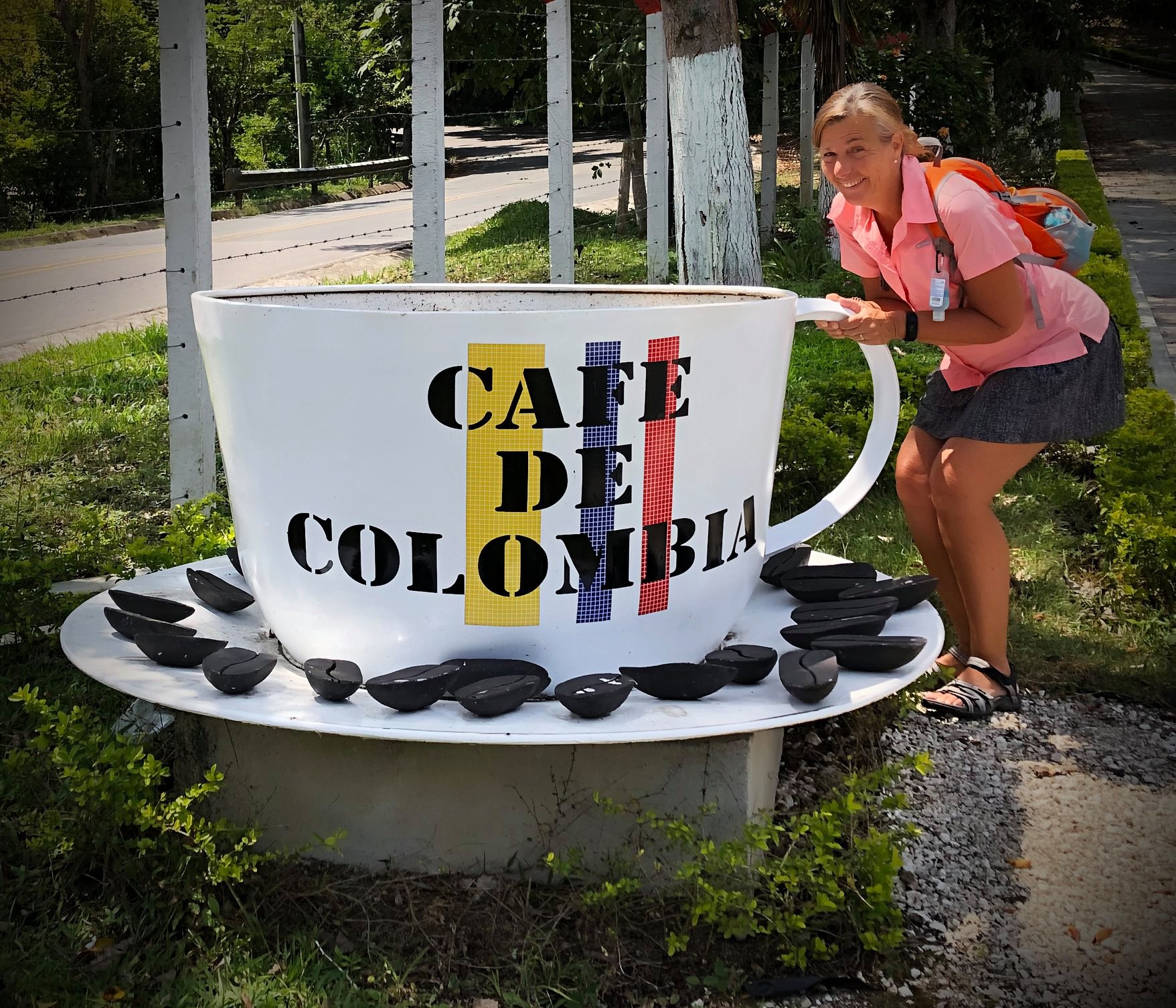
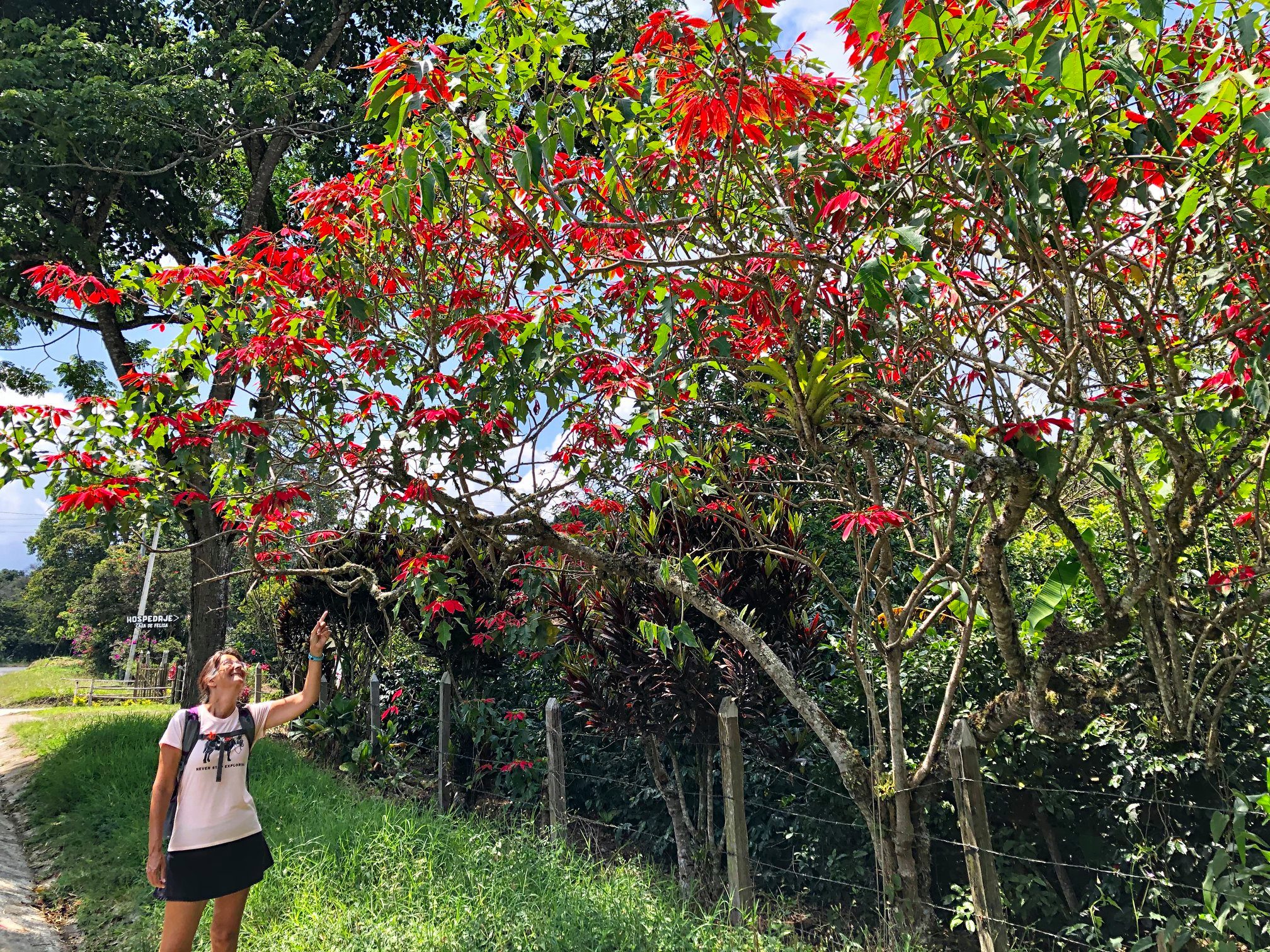
That’s one huge poinsettia

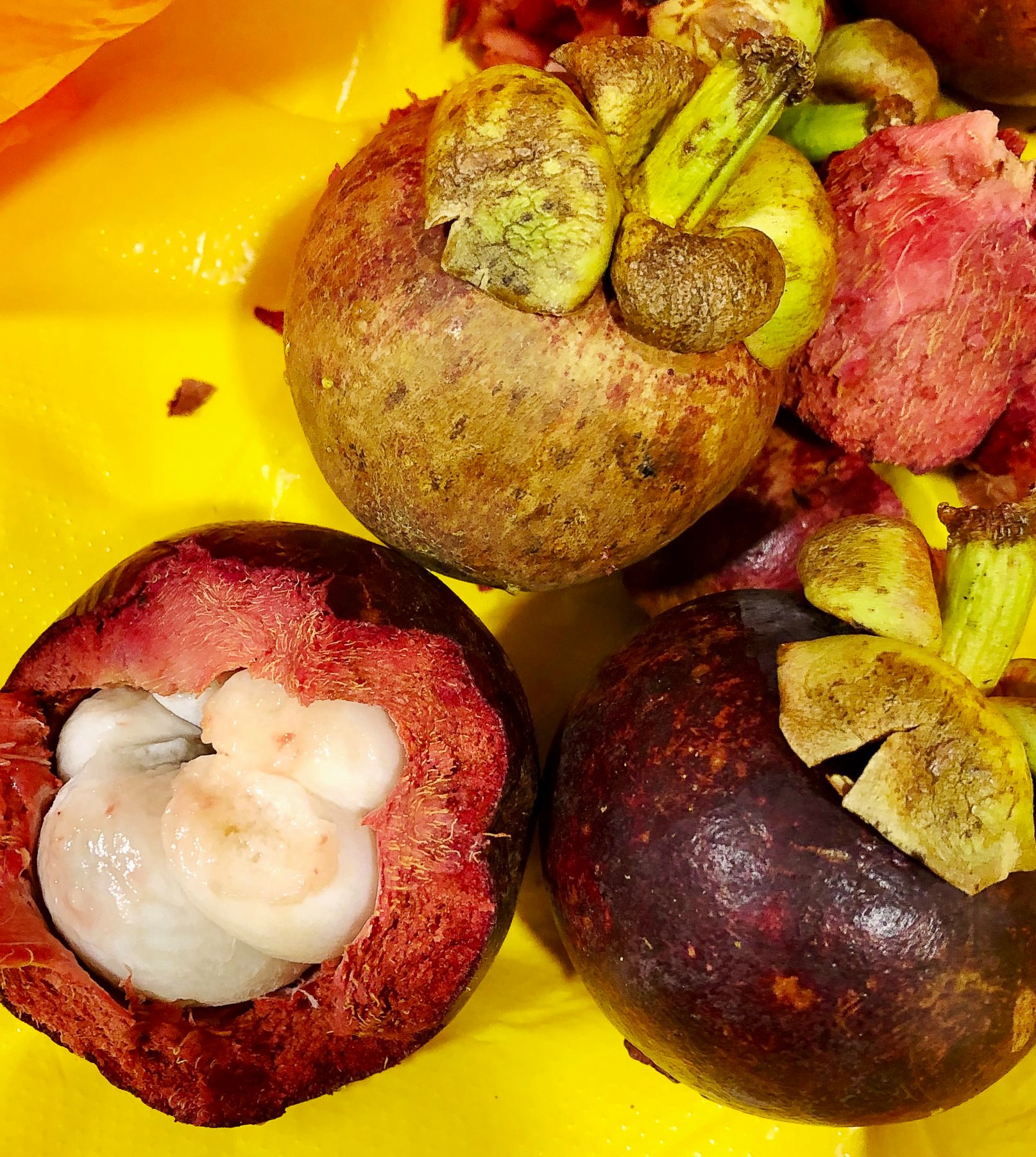
Mangosteen!!!  We can’t get these at home so we bought another bag of them and ate them for dinner.  YUM!!

Into the Tatatcoa Desert!

The plan in the morning was to have coffee and then head to the main street to find a bus for 8:30 am. At 7 there still wasn’t any coffee so we just left. By 7:30 am we were in a collectivo headed for Pitalito. I had time to run and get us each a coffee at least.

At the bus station in Pitatlito a man hollered “NEIVA?” I said “si” and he took Anita’s bag. We followed, then realized we hadn’t paid the guy from San Agustin. While doing that we tried to remember what bus Anita’s bag ended up on. No worries. The hollering guy guided us over. We paid him and boarded that bus.

By the time we reached Neiva it was after 1 pm. Tired, hot and seriously having to pee meant the nice men asking us where we wanted to go got the answer “Bano, por favor!”. Haha

We purchased tickets for Villavieja and paid the extra 2,000 pesos to get dropped off at our hostel. For less than a dollar we did NOT want to walk 20 minutes with our bag in 40 degrees.

It was after 3 pm and all we’d had to eat was some nuts we bought from a vendor who jumped on the bus at one point. We were starving so just ordered a burger and fries at the Sueno Real Hotel. Don’t know what was up with the kitchen but they ended up going to town to get it for us.

I checked the email to find out Interjet had changed our flight from 3:15 pm on the 14th to 8.05 am. CRAP. That would NOT work as our flight from Neiva wasn’t to arrive in Bogota till 11 am!!  After emailing and sending a PM I figured, whatever, and we went for a swim. That was wonderful! We arranged a tour of the desert with an English speaking guide for the next day. Nobody here speaks English so google translate is our friend. 😀

Interjet messaged me back that they needed to call. Our hosts were kind enough to let us use their number. I spent a good hour on the phone but finally changed the flight to the next day. That meant having to spend a night in Bogota and get home a day later but couldn’t be helped. So much for planning. I had planned to fly into Bogota on the morning of the 14th, allowing plenty of time for delays and such, and so no more transit was needed. 

Oh well.  The best laid plans…… all part of travel.

We’d asked our host about a tour of the desert and she connected us with Joe who picked us up in his tuk tuk the following afternoon. Joe took us to all the highlights. At the first stop we climbed down the into the “Cusco” or red desert and walked around learning about plants, animals and the geology of the dry, tropical forest ecosystem. The temperature reached 40 degrees with no breeze. That is HOT! It just about did Anita in so she opted out of the second walk. We met her later after she’d rehydrated and walked along the edge of the desert. The views were spectacular from there!

The Cathedral


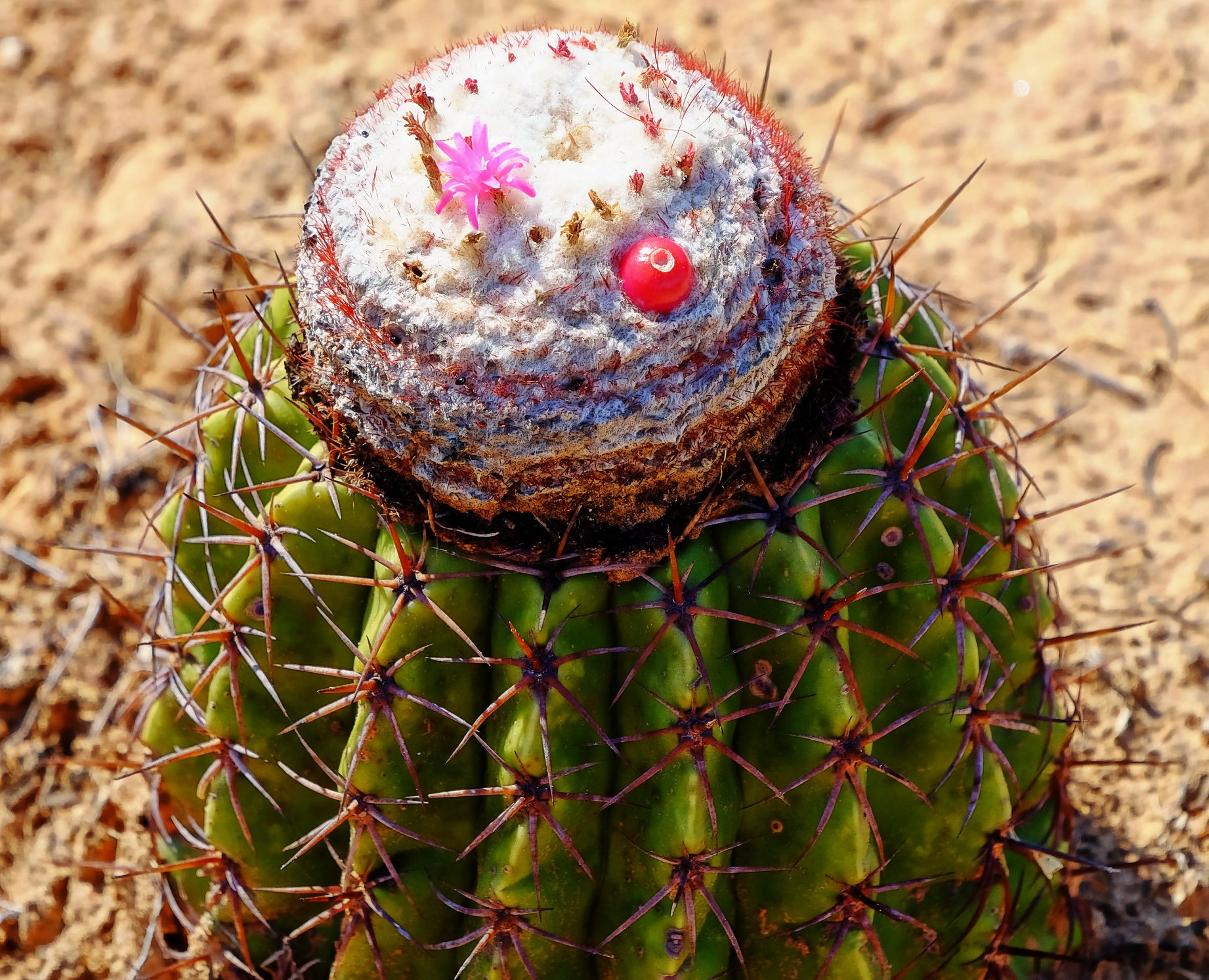
Fruit and flower on the same plant
Woodpeckers   are  pretty   tough!

Back in the tuk tuk we stopped at a view point to see the Los Hoyos or gray desert and a bit later, we got out to walk through it. The landscape is surreal and looks like something from Star Trek. We finished up the walk with a swim in the piscinas. They’re man made from natural spring water and are supposed to have healing powers. Well. I’m not sure it healed anything but sure made us feel refreshed!

We carried on to see the sunset over the desert and then Joe dropped us off at an observatory. There we could look through telescopes at a couple of constellations. After we laid on our backs, watching the starts while our host used a powerful light to point out stars and explain various aspects of astronomy.

By the time Joe dropped us off at our hotel, we didn’t feel like going out to eat so just finished up some snacks and went to bed.

Our last day we spent relaxing, reading and swimming. We figured we deserved a day off 😀

Back to Bogota

We’d hired a driver to pick us up from the hotel and drive us to the airport. He spoke very little English but we attempted conversation. Maybe if we had another month here we’d get proficient at Spanish?

We spent the afternoon spending a ridiculous amount on taxis in Bogota and shopping for Mochila handbags made by the Wayuu tribes. We’d seen them in many places and wanted to get some but they’re quite heavy and just another thing to carry. We may have spent too much on taxis but we got some beautiful bags for decent prices.

Our flight from Bogota actually left at least 10 minutes early. How weird is that? We got to Mexico city so early they weren’t ready for us so we ended up sitting in the plane waiting for a bus to take us to the gate for almost an hour. Oh well.

It was a great trip and a wonderful adventure. Someday I’d like to go back to Colombia as I really don’t think we’ve seen enough of it. It’s a big, beautiful country!!

Mochila bags made by the Wayuu people

This is how our itinerary ended up 😀

The Ultimate Adventure in Salento: Waterfalls and Hiking

Our Colombian journey continues from Jardin.  The previous post can be found here:

Guatape and Jardin. Both worth more than just a day trip from Medellin, Colombia!

SALENTO

February 4-9

Surprise surprise! Our 8 am bus turned out to be one of the beautifully decorated strange looking square things. The driver loaded our bags in the back seat and we all climbed on. The “road” was more like what we’d call a “green road” as in, not maintained and you need a 4X4 to use it. We rarely reached speeds exceeding 30 km per hour and bumped along the gorgeous trek for a couple of hours, stopping occasionally to pick someone up or drop a person off. Rarely could we see where they’d come from as there were few houses along the way. Sometimes we’d meet a truck coming the other way and once a bus. The drivers stopped to chat for a bit before carrying on.

At one point we stopped at a place that sold snacks and provided a bathroom. There was a random pig and a gorgeous view from there too.

By the time we reached Riosucio, it was almost noon and we were a dusty, dirty mess. Oh well. It was fun!

Next we bought tickets for Salento. A lady was selling tamales and cheese biscuits so we got some lunch while waiting. This bus was luxurious after the last one and we kept nodding off on the way despite trying to stay awake to see the view.

It was after 4 by the time we reached Salento and we walked the few minutes to the Zorzal Hostel. After dropping off the bags and trying to quickly clean up we walked to town to find dinner. Cumana Bistro was recommended and it sure was good. I enjoyed a Venezuelan trout and Anita stuffed chicken. Yum!

It’s been a while and our clothes are getting smelly. Since this hostel does laundry we gathered it together to drop off in the morning. I love that luxury 😀

We have yet to figure out where we’re going after Salento.

The hostal Zorzal offers breakfast from 7-9:30 and yo have to choose a time. We seem to be morning people so we chose 7 am. After a really good breakfast and the advice from our host, we caught a bus heading down the road and got them to drop us off at the bridge. There we walked up the path to find the Santa Rita waterfall. That turned out to be a huge place full of beautiful hiking paths, a couple of natural pools, a cave and 2 waterfalls. We managed to cover ever path in the place (some twice 😉 ) and headed back down the hill. We didn’t have long to wait for the bus.

Back at the hostel we cleaned up and walked to town where we shopped for a while before getting dinner at the Cumana again. We tried another one but it didn’t open until 6:30 and we were too hungry to wait a half hour.

Corcora and the Wax palms

The next day again we started early, then walked to town to find a jeep in the square to take us to Corcora. By 9 am we’d started the walk. We’d been told it’s 12-14 km and it’s “easy”. Right. It wasn’t really difficult but I wouldn’t call it easy. The first 5 km was straight up hill and took us about 2 hours as we stopped along the way for pictures and to enjoy the gorgeous views. At the finca la Montana we enjoyed a coffee and took pictures of a humming bird on a nest.

Then came the trek down. You’d think down would be easy. Nope. We scrambled over rocks, tree roots, through streams and steep inclines. It was fun. Again, not terribly difficult but certainly not easy. At a fork in the path you can go up to see the hummingbird house or continue down. We’d been told it was worth it. It’s only another 1 km in and then the same path back. Again, nobody told us it was straight uphill. More scrambling over boulders, tree roots and through streams. It was worth it after the fact. We enjoyed a nice cup of hot chocolate with cheese while watching some gorgeous birds.

Back down that path we continued on the original until another fork with a sign “fog waterfall” Hmm. Is it worth it? A man walking by said it wasn’t far and it was so we went. This one at least had some heavy rope we could use to brace ourselves while doing more scrambling. Yep. It was worth it.

The rest of the path was nice and not too difficult. Just the final hill was a bit of a killer. By the time we got back to the village it was after 3 pm. That’s 6 hours. Not bad considering the stops we’d made.

How many people can you fit in a jeep? Apparently in Colombia it’s 14 and a dog. Fun.

Back in Salento we treated ourselves to a moccachino (me), cappachina (Anita) and a piece of cake at the Willy’s cafe. YUM!

A shower at the hostel was an amazing relief and we were invigorated enough to head out for dinner again.

Popayan, the white city

February 7-9 POPAYAN

The bus to Armenia took about an hour and I thought we were there in time for the 9 am bus to Popayan. I guess it was full as the lady said 9:30 am. I should have been thinking but just bought the tickets. It wasn’t till we boarded the van type bus that I realized it was the one that stops in Cali so was an extra 1.5 hours. Crap. There was a direct bus leaving at 10. :/ Oh well. We got to see the Cali bus terminal and drive through the city. I noticed the homeless people living beside the river, the masses of traffic, the boulevard with the beautiful trees….just another city.

The countryside was actually quite flat in this area and the road (still wouldn’t call it a highway)almost straight!

Popayan was much bigger than I expected. Upon arrival it seemed like another busy, dirty city. We walked to our hostel in the old city and there is where it’s nice. All the buildings are white.

We tried to find a place to get local food but everything closed early. Where we ended up the food was mediocre but the waitress was very kind and helpful.

The next morning we joined a free walking tour after seeing the poster at our hostel, . That was excellent and I highly recommend “Get up and go Colombia”. We learned a lot about the culture and unique history of Popayan, the earthquake of 1983 that killed over 300 people, the history of holy week celebrations and the fact that 5 presidents came from Popayan. The city is painted every year just before Holy week. It started because of a weird plague called nigua. It was a bug that infected the feet and caused horrible sores sometimes resulting in loss of limbs. They discovered chalk kept the bugs away so painted everything with chalk. Eventually the plague was stopped but they continued to paint everything white as it looked beautiful with the Holy week celebrations. It’s now preserved with Unesco.

Daniella showed us a family home where we learned why the windows are so odd here. In the past, young girls were very closely watched. They could only talk to boys by sitting in the window and a boy would have to be on a horse to see her. The girl’s mother would sit on the other side to make sure the conversation was appropriate. The window being so high meant that only young men who could afford a horse had the ability to “meet” the girls from wealthy families.

Because of Daniella’s recommendation, we went to the best coffee shop in Popayan. I had a mocca which is just espresso with chocolate. It was good and strong with NO bitterness. Nice!

Next we decided to climb the hill and try one of the “miradors” or view point. All that sweaty vertical hiking was for naught as the trees blocked the view. Besides all you can really see are roofs. We just started our descent and it started to rain. Uh oh. By the time we got back to town we were pretty wet so we headed back to our hostel to get dry and wait it out.

Next we went for dinner to Mora castilla to try authentic local dishes like empanita pipian with peanut sauce, a pastry type thing that was once the leftovers from arepas, patacones with cheese and payanes splash to drink. The food was good and the drink delicious.

After wandering the town for a while longer we went back to our hostel where our kind host called the bus terminal to confirm bus times for us since I couldn’t find anything online.

Next stop, the Tatacoa Desert!  A Unesco world heritage site.

https://whereisgrandma.com/2020/03/31/san-agustin-a-unesco-archeological-park-and-the-tatacoa-dessert/