Previously we hiked the Warsaw Caves. Find that post here: Keeping a traveler amused in Covid times. It’s a challenge! Warsaw caves
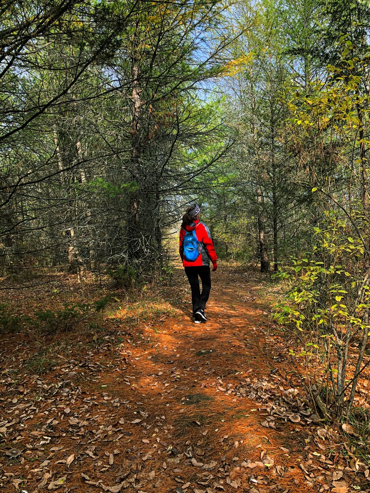
It was a chilly 5 degrees but not raining so perfect for finding a place to hike. We hadn’t been to Ferris Provincial Park since the Spring so we decided to give it a try. The main gain was locked so we went in the “back way”, known to locals and walk in only.
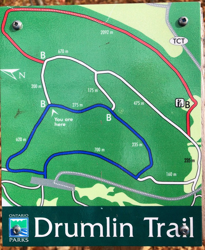

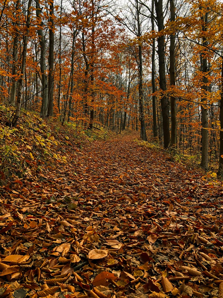
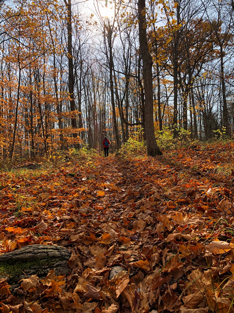
The “path” we took
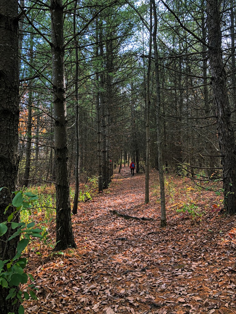
We started off on the blue trail which led to the white, then the red trail. It’s well marked but is still often hard to follow as the path is well covered in leaves. Somehow we managed to lose the red trail and ended up on the trans Canada trail for bit. Here’s a link to the path we ended up following. All trails recording
Yes, the trail is supposed to be 2.7 km. We did manage to make it 6.6 km. We didn’t manage to do it right in the Spring either. Maybe with more practice we’ll eventually conquer following this trail properly? Oh well. In the mean time we saw most of the park and enjoyed a nice afternoon in the woods.
Since the hike turned out longer than expected, rather than find another one to do we stopped at Sharpe’s Grocery. It’s the thing to do when in Campbellford as it’s one of my favourite grocery stores. Dooher’s Bakery is closed Sunday or we may have stopped in for a treat.
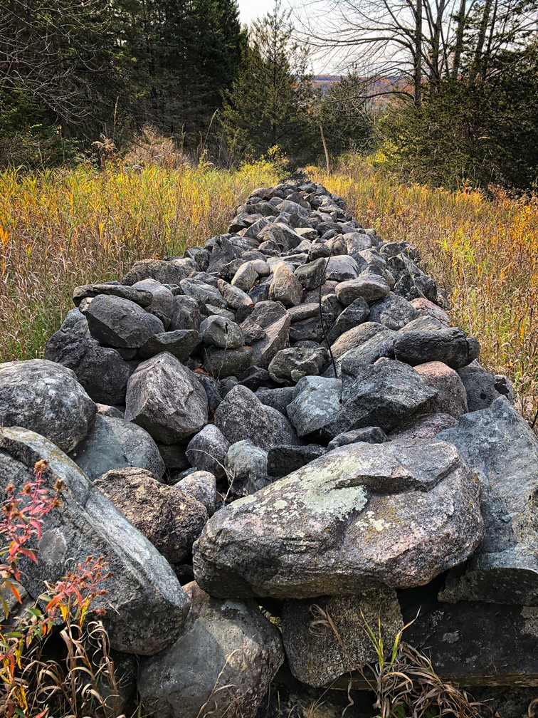
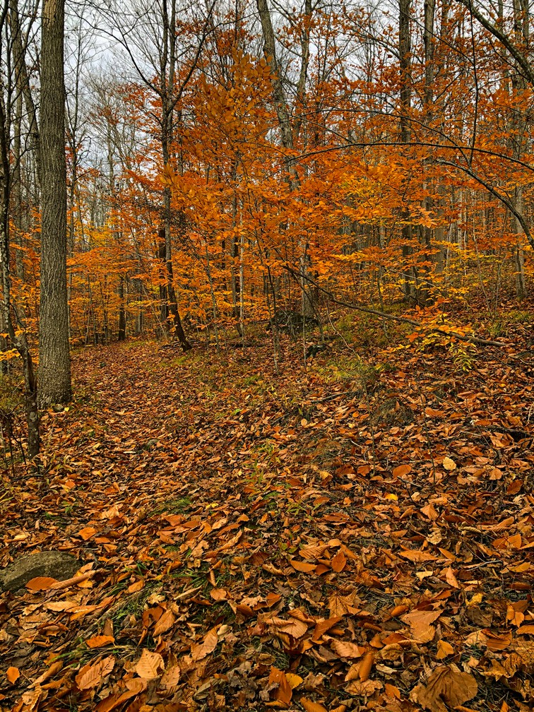
Interesting rock wall at what we think was the look out point
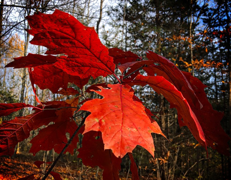
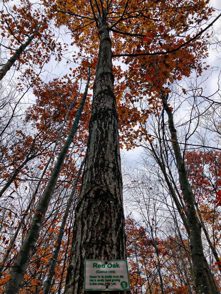
Stubborn little oak tree still has it’s leaves
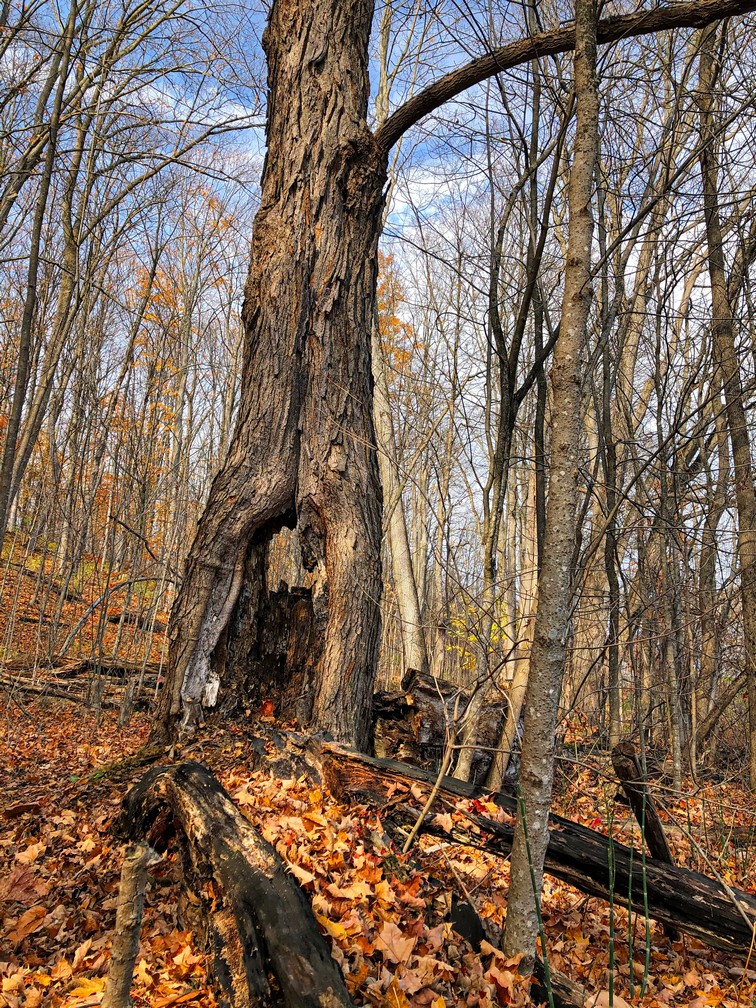
I don’t know how this tree is still standing


From the website: https://www.ontarioparks.com/park/ferris/activities
Hiking
Drumlin Trail System – 3 interconnecting looped trails: Blue 1.2 km (1.0 hour); White 2.5 km (2 hours) and Red 2.5 km (2.5 hours), moderate
The Drumlin Trail System takes you through mature mixed forest, by small wetlands and along seasonal creeks that have developed on two elongate hills called drumlins. These drumlins were formed thousands of years ago by glaciers, and largely left as woodlots by European settlers. The spring wildflowers can be spectacular in spring.
The Blue and White Trails take you near areas where the Ferris family’s sugar houses, shingle mill, granary and sheep pens once stood. The Red Trail goes around the back of the second drumlin, taking you past the old W. Cock Brickyard. Little physical evidence remains of these pioneering enterprises but their legacy as the forerunners of today’s vibrant local communities is not forgotten.


Pingback: Finding new sights in my own backyard. The Ganaraska Trail! Maybe I can walk to the Bruce Trail? | Where in the world is Grandma?